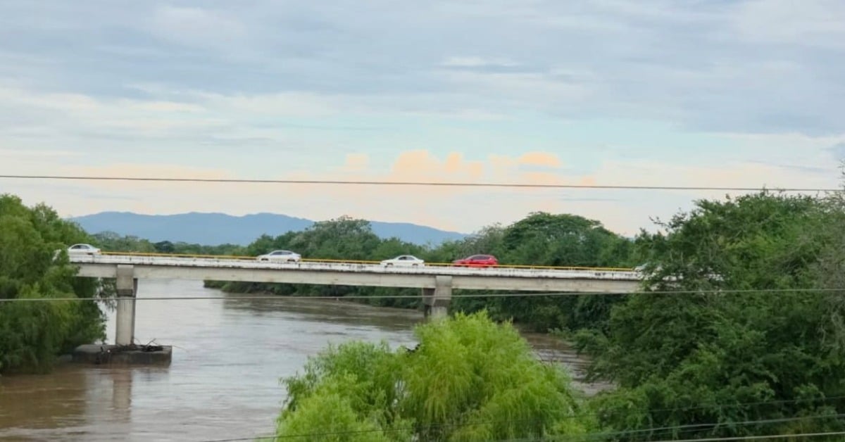
The Ameca River swelled Sunday after mountain rains, prompting continuous monitoring by the Jalisco State Civil Protection and Firefighters Unit. The surge was significant but did not threaten communities, according to the agency’s second-in-command, Blanca Becerra. The river forms the natural boundary between Jalisco and Nayarit and drains rugged terrain where short, intense downpours can move quickly downslope toward the bay.
Becerra said the rise matches forecasts that called for heavier rainfall along the north and south coasts and the Sierra Madre Occidental beginning August 20. Crews kept watch through the night and into Monday, coordinating with municipal units on both sides of the state line. The order from the command post is simple: keep eyes on the river and keep information flowing to residents.
Ameca River rise
Rivers that run off the Sierra can turn fast. Storms in the upper basin drove Sunday’s spike; by Monday, the river remained elevated but stable. At this point, state officials see no direct risk to neighborhoods along the lower Ameca. The message to residents is to stay informed through official channels and avoid rumor mills that often light up during weather events.
Elsewhere in the region, smaller rivers behaved well. The Cuale, Los Horcones, Mismaloya, and Pitillal stayed below half their capacity on Monday morning. For emergency planners, that is welcome news. It lowers the chance of cascading impacts such as sudden street flooding or debris flows that sometimes follow a wet week.
Heavy rain also tested road infrastructure in the mountains. A landslide early Monday blocked both lanes of State Highway 544 between Las Palmas and La Estancia in San Sebastián del Oeste. Crews moved machinery in, opened a controlled single lane, and later restored whole passage. Southbound Highway 200, the coastal lifeline, reported no damage.
The broader weather picture backs the local call for caution. Mexico’s national forecaster projects very wet conditions across the central Pacific states, including Nayarit and Jalisco, with storms capable of quick river rises and localized flooding. That aligns with the pattern residents have seen this month: warm afternoons, then evening storms punching through the mountains and spilling toward the bay.
What authorities are asking from the public
Civil Protection wants residents near rivers, streams, unstable slopes, or other high-risk areas to follow official guidance. That means checking municipal updates from Puerto Vallarta and Cabo Corrientes, waiting out strong cells indoors when possible, and delaying non-essential travel during cloudbursts. If you must drive the mountain roads, slow down for wet curves and keep clear of active work zones where crews are still clearing debris.
The agency will keep patrols on the levees and at known pinch points along the lower Ameca while storms remain in the forecast. Monitoring now buys time later. If the river rises again, responders want to be positioned to close low crossings, redirect traffic, and notify neighborhoods with the least possible delay.
For now, the river’s pulse is elevated but steady. Crews remain in place, radios are on, and the watch continues through the next round of storms.