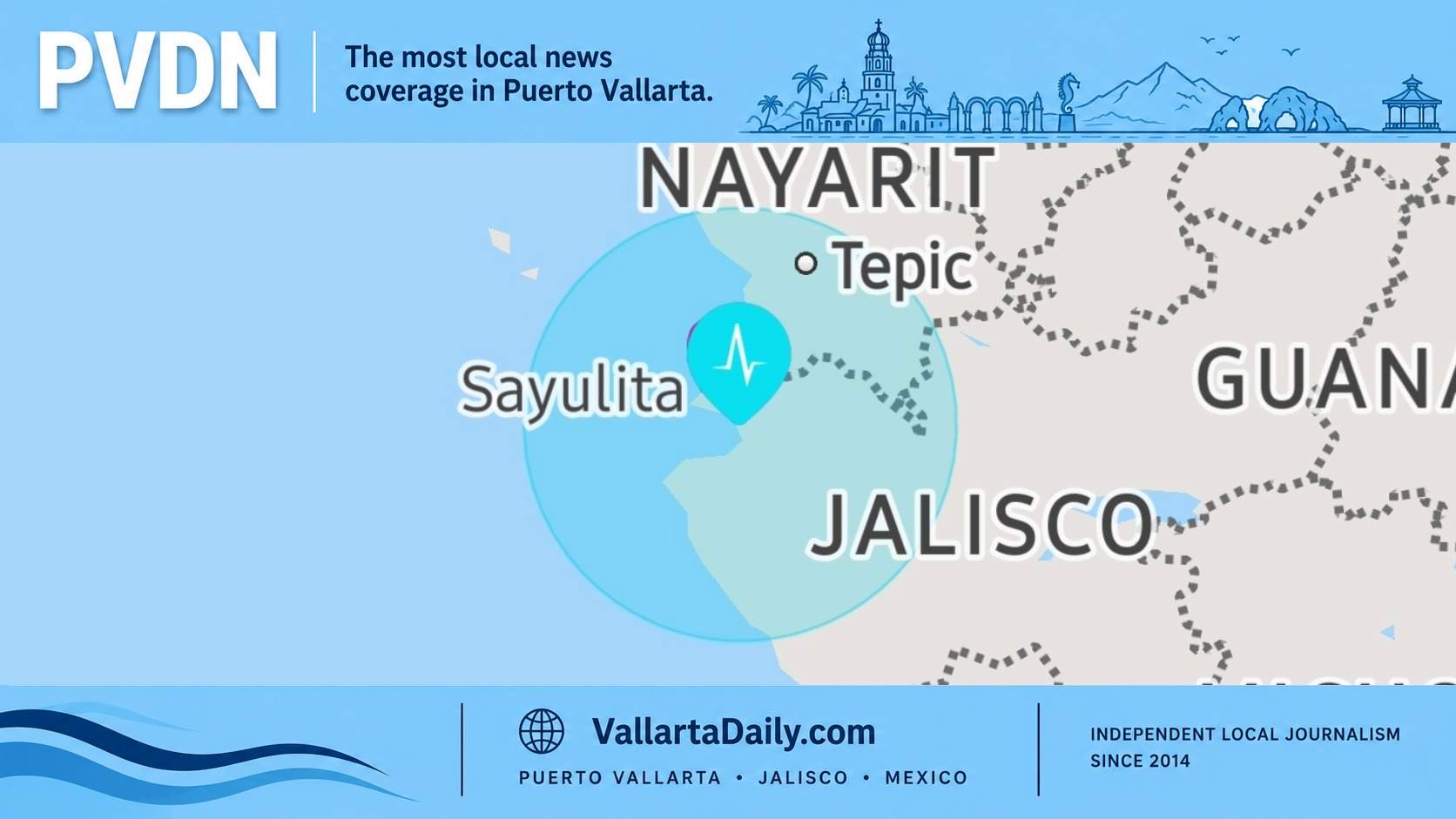
Puerto Vallarta, Jalisco, August 9, 2026 — A magnitude 4.4 earthquake centered in the Pacific Ocean southwest of Puerto Vallarta was felt lightly in parts of the city shortly after 9:16 p.m. Sunday. No damage, injuries, evacuations, or service disruptions were reported during the first hour after the movement.
The Servicio Sismológico Nacional located the epicenter 95 kilometers southwest of Puerto Vallarta at a depth of 18.4 kilometers. The agency recorded the earthquake at 9:16:23 p.m. at coordinates 19.826 latitude and -105.592 longitude.
An automated SASSLA notice issued less than a minute later identified the possible epicentral region as “Puerto Vallarta, Jalisco Costa Norte,” but did not immediately provide a magnitude. The subsequent federal report placed the epicenter offshore rather than in northern Jalisco.
Reports from within Puerto Vallarta described the movement as weak but perceptible. Shaking can vary across the city depending on soil conditions, building height, and distance from the epicenter, so some people may have noticed the earthquake while others nearby did not.
Neither Puerto Vallarta Civil Protection nor Jalisco Civil Protection had announced damage inspections or emergency operations in response to Sunday night’s earthquake as of publication. No significant road closures or interruptions to municipal services were attributed to the event.
Sunday’s quake was farther offshore than a magnitude 4.0 earthquake recorded near Cabo Corrientes on May 19, which prompted preventive evacuations and building inspections in Puerto Vallarta despite its lower magnitude.
The National Seismological Service classifies its early earthquake parameters as preliminary because the location, magnitude, and depth can be adjusted as information arrives from additional monitoring stations. The official record for Sunday night’s event can be identified by its timestamp of 9:16:23 p.m.