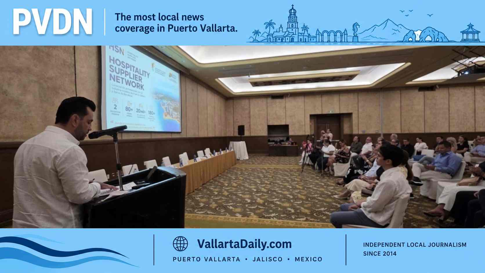
Puerto Vallarta, Jalisco, July 2, 2026 — A new tourist map is being distributed in Puerto Vallarta and Guadalajara to make it easier for travelers to combine the bay with three of Jalisco’s nearby Pueblos Mágicos: San Sebastián del Oeste, Mascota and Talpa de Allende.
The map, presented as “Puerto Vallarta–Pueblos Mágicos,” has an initial print run of 10,000 copies and includes attractions, streets, routes, festivals, tourist services and suggested circuits across the four destinations, Contralínea reported. It also includes a QR code linking to a digital version, a useful addition in a region where road conditions, festival calendars, and tour options can change faster than printed brochures.
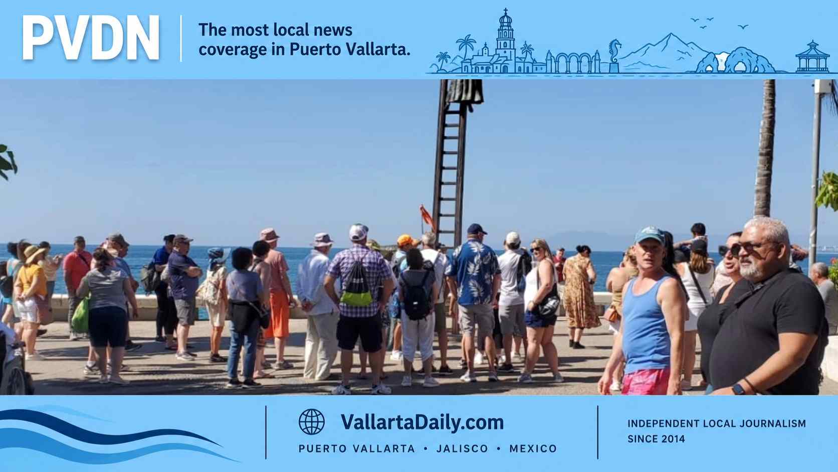
Copies are being placed in Puerto Vallarta, Guadalajara, the participating Pueblos Mágicos, tourist information modules and specialized tourism fairs. The practical target is clear: give hotel guests, road-trippers and travel agents a single regional reference instead of treating the beach and mountain towns as separate trips.
The project also fits a larger tourism push already visible in Jalisco’s official destination marketing. The state’s tourism platform promotes a “Del Mar a la Montaña” route that links Puerto Vallarta with San Sebastián del Oeste and Mascota as a three-day experience, with the option to add nights in the mountain towns. Visit Jalisco lists Puerto Vallarta, San Sebastián del Oeste and Mascota together in that itinerary, framing the coast as the starting point for a longer regional stay rather than a stand-alone beach visit.
That is where the new map may matter most. Puerto Vallarta already has the airport, hotels, cruise traffic and visitor volume. San Sebastián, Mascota and Talpa offer a different product: mountain weather, colonial streets, pilgrimage routes, raicilla, coffee, local sweets, nature and small-town festivals. The challenge has been turning those into easy, legible trips for people who arrive in Vallarta without much knowledge of inland Jalisco.
San Sebastián del Oeste is the closest and most familiar of the three for many Vallarta travelers. The state tourism site describes it as less than two hours from Puerto Vallarta by car, with coffee, raicilla, chocolate, former mining architecture and access to mountain viewpoints such as Cerro de la Bufa. San Sebastián received its Pueblo Mágico designation in 2011.
Mascota sits deeper in the sierra and is marketed around its history, nature, raicilla, and nearby communities such as Yerbabuena, Navidad, and Laguna de Juanacatlán. Visit Jalisco places it about two hours from Puerto Vallarta and highlights the Templo Inconcluso, the Museo Arqueológico and raicilla producers as part of the town’s draw.
Talpa de Allende brings a different audience. It is one of western Mexico’s major religious destinations, the endpoint of the Ruta del Peregrino and home to the Basílica de Nuestra Señora del Rosario de Talpa. It is also promoted for the Bosque de Arce, traditional sweets, and its place on the Raicilla Route. Jalisco tourism officials describe Talpa as both a religious and nature destination, with millions of pilgrims arriving each year, especially around Holy Week.
The map’s strongest use may be for visitors planning two- or three-stop routes rather than one-day excursions. The Ruta de la Raicilla already links Mascota, Talpa de Allende and San Sebastián del Oeste through producers, tabernas and sierra communities, giving the three towns a shared identity beyond the Pueblo Mágico label.
The new visitor tool does not solve the harder parts of regional tourism. Travelers still need reliable road information, realistic drive times, clear parking guidance, public transportation details, and current festival calendars. That is especially true during the rainy season, when mountain roads can be slower and occasional closures or repairs can quickly turn a day trip.
Connectivity has been one of the region’s recurring issues. PVDN previously reported on the rehabilitation of Highway 544, the corridor linking Puerto Vallarta with San Sebastián del Oeste and Mascota, and on broader efforts to market the area through a shared Heart of the Pacific tourism corridor. Those efforts point in the same direction as the new map: selling the bay and the sierra as a single connected region, not as separate destinations competing for the same traveler.
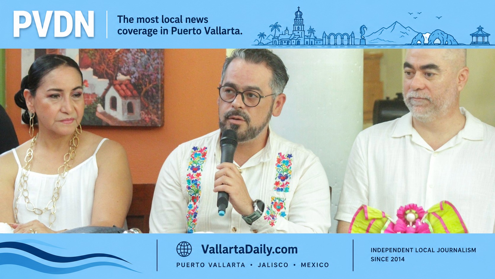
The map was presented in collaboration with Puerto Vallarta’s Economic Promotion and Tourism office, the Puerto Vallarta Tourism Trust, tourism officials from Talpa de Allende, Mascota, and San Sebastián del Oeste, and the Red de Asociaciones Altruistas de Puerto Vallarta y Bahía de Banderas.
Officials did not specify how often the digital version will be updated or whether English-language information will be available for foreign visitors. That will matter if the map is expected to serve not only Mexican road-trippers from Guadalajara, but also the international travelers already using Puerto Vallarta as their base.