Puerto Vallarta, Jalisco, June 15, 2026 – Puerto Vallarta remains under Plan Marina prevention monitoring as federal marine forecasts warn of rain, elevated surf, and rip-current risk along Mexico’s Pacific coast.
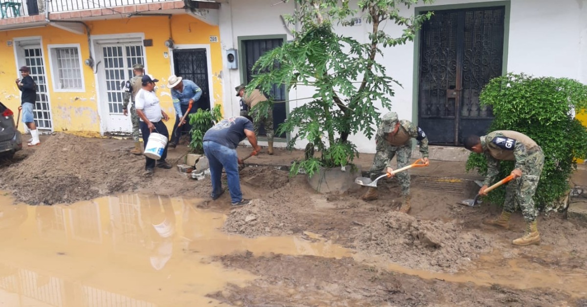
SEMAR’s June 2026 local communications lists Puerto Vallarta under Plan Marina prevention activity. A June 8 local notice said the naval command had 101 emergency-response personnel, seven vehicles, and a water-purification plant available if conditions required a response.
PVDN reviewed the Navy’s current marine bulletins on Monday morning. The latest Pacific marine forecast, issued at 8 a.m. June 14 and valid through 8 a.m. June 16, kept Jalisco and Nayarit inside a watch area for showers, thunderstorms, strong gusts, reduced visibility, and elevated surf.
Prevention phase is readiness, not an evacuation order
Plan Marina is the Navy’s civil-assistance program for emergencies and disaster zones. SEMAR says the program is designed to support the civilian population, either directly or with federal, state, municipal, social, and private-sector groups, during events that can cause damage or disrupt normal life.
In Puerto Vallarta, the prevention phase means the Navy is monitoring conditions, coordinating with other authorities, and keeping personnel and equipment ready.
Puerto Vallarta is now in the early rainy-season pattern. Afternoon storms, swollen arroyos, rougher surf, and sudden beach-flag changes can affect daily plans faster than a regional forecast suggests.
SEMAR’s marine forecast said a new mar de fondo event was expected Monday afternoon, June 15. The Navy warned of 6- to 8-foot (2-3 meters) surf, long wave periods, and rip currents from Chiapas to Sinaloa, including the Islas Marías and the entrance to the Gulf of California.
A separate SEMAR mar de fondo notice, issued June 11, listed Puerto Vallarta’s port captaincy among the authorities advised to take precautions due to elevated surf and rip currents. That notice listed possible waves of 6 to 9 feet with periods of 20 to 22 seconds.
What to watch around the bay
Long-period swell can push water higher onto the beach and create stronger return currents, especially near river mouths, rock points, and steep beach breaks.
People using Los Muertos, Camarones, Palmares, Playa de Oro, or smaller neighborhood beaches should check posted flags before entering the water. Yellow flags mean caution. Red flags mean recreational swimming should stop. Conditions can change during the day.
For boat tours, fishing charters, water taxis, and private boats, the key update comes from the Capitanía de Puerto. SEMAR’s port-status portal states that operational information is maintained by port captaincies through UNICAPAM and should be checked directly with the involved captaincy.
Rain remains part of the same watch
The prevention posture comes as federal forecasts keep the Pacific coast under unsettled weather. SEMAR’s 24- to 48-hour Pacific forecast said troughs, tropical waves, and Pacific moisture could produce local storms, strong wind gusts, elevated surf, lightning, and reduced visibility along parts of the Mexican Pacific.
The same forecast placed Sinaloa, Nayarit, Jalisco, Colima, Michoacán, and Guerrero under the potential for showers and strong localized storms, with higher accumulations possible over 72 hours.
The local concern is low-lying streets, hillside roads, arroyo crossings, and neighborhoods that flood quickly after short, intense rain. PVDN has also been tracking recent rainy-season impacts, including local Puerto Vallarta weather updates and the closure warning at Paso del Guayabo after rain destabilized the Río Ameca crossing.
Runoff near river mouths should also be watched after storms. Water may look calm near shore while carrying debris, branches, sediment, or overflow from upstream drainage.
Planning guidance for Monday and Tuesday
For Monday afternoon through early Tuesday, beach and boat conditions may differ from what people see in the morning. Tour operators should confirm marine restrictions before departure. Visitors should not treat one calm beach as a signal for the entire bay.
Drivers should avoid flooded streets and low-water crossings after storm bursts. Shallow moving water can hide broken pavement, open drains, or debris.
Property owners and managers can use the prevention phase to check roof drains, balcony drains, sump pumps, emergency lighting, and backup water plans before stronger storms arrive.
The most useful next checks are current beach flags from local lifeguards, navigation status from the Capitanía de Puerto, SEMAR marine bulletins, and PVDN’s rainy-season and hurricane coverage.