Puerto Vallarta is updating its long-horizon blueprint for how the city will grow, build, and protect what remains of its green spaces. Officials have launched the process to refresh the Municipal Urban Development Program, a document that steers land use and zoning decisions through mid-century. The city says this round will be participatory, with residents and sector groups invited to shape priorities from mobility to housing. A municipal announcement flagged the start of the update and the promise of a citizen-driven approach.
Puerto Vallarta 2050 plan
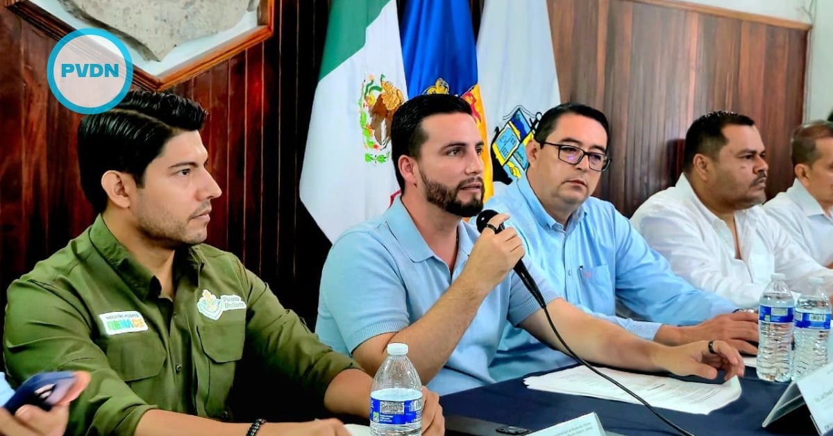
The schedule begins with a “macro forum” on November 28, 2025, followed by topic forums between January and March 2026 on governance, mobility, resilience, economy, a livable city, and childhood. Those events were validated in a recent session of the Municipal Urban Development Council, which brings together officials, business chambers, and professional colleges. That timeline is essential: it sets a public window to influence the technical drafts before they harden into policy.
While the update is new, the planning scaffolding is not. Puerto Vallarta’s current planning instruments include the 2020–2050 municipal urban plan and a suite of partial plans updated in 2022 for several urban districts; those documents underpin day-to-day permitting and zoning decisions. The 2050 refresh is expected to align with those rules—or change them where the city decides a new course is needed. That is why early participation matters: it’s where height limits, density targets, and conservation priorities meet the lived reality of neighborhoods.
There is also a regional dimension. Puerto Vallarta is inseparable from Bahía de Banderas across the state line in Nayarit, forming an interstate metro that has grown fast. State data show the metropolitan area’s population expanded 26.2% from 2010 to 2020. Inside the municipality, Puerto Vallarta counted 291,839 residents in the 2020 census, and the trend lines point upward, driven by tourism jobs, in-migration, and construction. Planning to 2050 without that regional lens would miss the pressures people already feel on traffic, water, and housing costs.
*** More Puerto Vallarta News on PVDN ***
Federal policy is nudging in that same direction. Mexico’s urban development ministry has been working to strengthen metropolitan governance in the Puerto Vallarta–Bahía de Banderas zone, with an emphasis on mobility, safety, infrastructure, and services coordinated across two states. A 2024 update highlighted the goal: align projects and investments where the urban fabric is already continuous. If the city’s new PMDU captures that coordination, it stands a better chance of turning plans into projects residents can see and use.
The participation design matters as much as the calendar. Macro forums bring visibility, but they can also be showpieces unless they lead to traceable changes in the draft plan. Topic forums, if run well, can surface conflicts—like where to allow taller buildings, how to fund transit upgrades, and how to protect natural buffers—before they explode into court fights or backroom exceptions. The city says voices from academia, industry, and neighborhoods will be heard. What residents will want to watch is how those inputs are documented and whether the draft PMDU shows its work.
Mid-century planning affects daily life in concrete ways. A modernized mobility grid could prioritize safer walking and cycling routes, bus priority on congested corridors, and fewer choke points between the hotel zone and the airport. Housing policy in the PMDU could help steer growth toward complete neighborhoods with services, rather than pockets of luxury towers far from schools and clinics. Environmental rules will set the tone for hillside development, watersheds, and heat-mitigating green space. These choices don’t just change skylines; they change commutes, rents, and flood risk.
What to watch between now and the final draft
Expect an early diagnostic to frame problems and options, followed by a first draft that translates those ideas into maps and tables. That draft is where quiet details hide: permitted densities by district, use mixes, and special zones. Residents should look for whether the plan ties growth to infrastructure capacity, whether it protects view corridors and public beach access, and how it treats informal settlements that already exist. The regional piece—coordination with Bahía de Banderas—should be explicit, not aspirational, given how intertwined daily life is across the bay.
The political calendar also matters. Plans with a 2050 horizon inevitably span administrations. To endure, they need both legal teeth and broad support. Publishing meeting notes, data sets, and redline changes—along with clear responses to public comments—would build trust. So would an independent technical review from universities and professional associations. The city has opened the door with dates and themes; the next test is whether people can track their input from the microphone to the map.