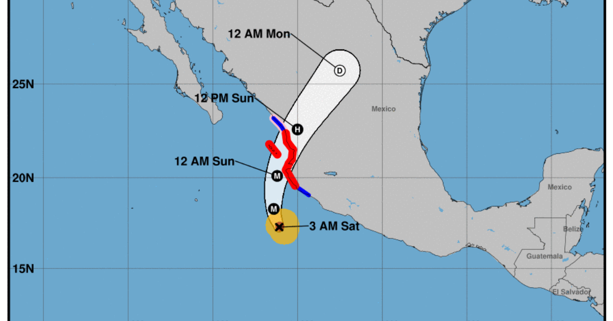
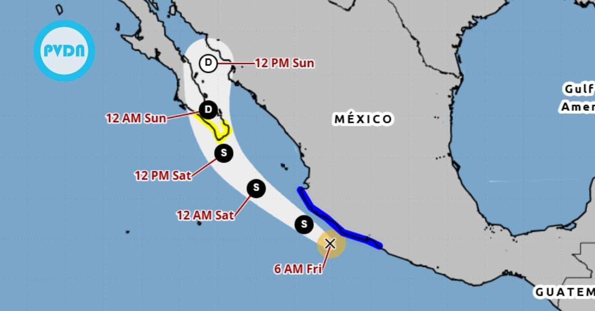
Roslyn is moving toward the northwest near 7 mph (11 km/h). A turn toward the north-northwest and north is expected later today and tonight, followed by a faster motion toward the north-northeast on Sunday. On the forecast track, the center of Roslyn will move parallel to the southwestern coast of Mexico through midday today, then approach the coast of west-central Mexico, likely making landfall along the coast of the Mexican state of Nayarit Sunday morning.
Maximum sustained winds have increased to near 120 mph (195 km/h) with higher gusts. Roslyn is a category 3 hurricane on the Saffir-Simpson Hurricane Wind Scale. Additional strengthening is forecast today. Although some weakening is possible beginning tonight, Roslyn is expected to still be near or at major hurricane strength when it makes landfall on Sunday.
Roslyn will be accompanied by damaging winds and a dangerous storm surge. Preparations within the Hurricane Warning area along the west-central coast of Mexico should be rushed to completion.
Roslyn is moving toward the northwest near 7 mph (11 km/h). A turn toward the north-northwest and north is expected later today . . .