
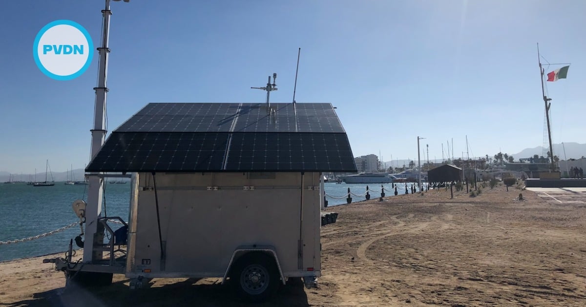
Los Cabos is about to watch its waters much more closely. The state fisheries trust FONMAR plans to install two civilian radars at Cabo San Lucas’ Tourist Attention Center (CATTAC), giving authorities a real-time view of boat traffic up to 60 nautical miles offshore. The goal is simple: make it harder to poach nearshore and sport-fishing grounds, and easier to respond when someone tries.
FONMAR’s director, Martín Inzunza Tamayo, says the units were originally bound for the Navy and the Harbor Master, but will now serve a civilian watch role from CATTAC. That matters in a port where commercial and recreational fleets share tight coastal space and where quick, shared visibility can prevent conflicts before they escalate. The range and constant feed also create a record of daily departures—useful when inspectors trace complaints or spot unusual night patterns.
Los Cabos illegal fishing
Illegal and unreported fishing is not an abstract threat here; it lives in the gaps between patrols, weather windows, and scarce enforcement hours. Baja California Sur has already tested radar-based monitoring along its east coast, pairing technology with park rangers and community guards. That network—documented this year by Mongabay—shows how fixed sensors, long-range cameras, and drones can push poachers away from reserves and refuge zones when authorities actually respond to alerts. The Los Cabos plan borrows from that playbook.
FONMAR, a Baja California Sur state trust focused on sport-fishing oversight and marine resource protection, has leaned into practical tools in recent years. Beyond permits and education, it introduced a mobile app that helps identify species and closed seasons using on-device AI—small steps that make compliance easier and excuses thinner. The radar project fits that same “meet people where they fish” approach, while giving inspectors a firmer basis for targeted checks rather than sweeping, low-yield patrols.
The enforcement landscape is crowded, and coordination will decide whether these screens change behavior. Nationally, CONAPESCA leads inspection and surveillance with help from the Navy. Their public updates stress “permanent actions” at sea and on land, but capacity is finite and coastlines are long. A persistent coastal picture from CATTAC can help pick the right moments to board a skiff or intercept a tender heading for a protected reef, instead of guessing.
The local context adds urgency. In June, FONMAR flagged fake sport-fishing licenses circulating in Los Cabos, a reminder that paperwork loopholes and opportunism often travel with poaching of marquee species like marlin and dorado. Better boat-tracking doesn’t stop forgery, but it makes it harder to hide the fishing trips that follow.
As with any tech fix, there are limits. Some operators simply try to vanish. Investigations this year showed how a U.S. sport-fishing vessel repeatedly slipped into the Revillagigedo National Park while allegedly disabling its AIS transponder—an old trick against satellite tracking that still complicates real-world enforcement. Shore-based radar helps plug that hole near Los Cabos because it doesn’t rely on a vessel broadcasting its position; it sees movement. But seeing is only half the job. Someone must knock on a hatch soon after.
What the new radars could change—and what they can’t
If the Los Cabos system works as designed, nearshore hotspots should get quieter. Poachers prefer low-risk edges: a reef just outside a reserve, a pre-dawn drift along a no-take line, a quick drop on spawning aggregations before weekend traffic wakes up. Fixed radars give dispatchers a pattern library. They show when an unmarked panga hugs a sensitive cove for twenty minutes, then darts toward a landing far from the harbor. That pattern triggers a call, a waypoint, and a response—not an hours-late debrief.
The tech also has a soft-power effect. Most captains talk. When a few risky moves lead to quick visits from inspectors or the Harbor Master, word spreads that the screen is real. That alone can push effort farther offshore and away from nursery zones. It can also protect honest operators who resent the bad actors undercutting their day rates and their reputation with tourists.
None of this erases the need for human presence. Radars don’t weigh fish, check hooks, or read a license. They cue people who do. The early East Coast experience in BCS suggests results come when alerts flow to teams that know the water and can mobilize without bureaucratic lag. That means clear protocols between CATTAC, FONMAR, Harbor Master, the Navy, and CONAPESCA—who calls whom, who boards, who documents, and who prosecutes when a case deserves more than a warning.
FONMAR’s move is a practical bet that visibility changes incentives. If dispatchers can see thirty miles beyond the cape in any weather, and if boats know that, fewer will gamble on a quick raid close to shore. The next test is public accountability. Publishing de-identified radar stats—alerts, checks, warnings, seizures—would show residents and anglers that the system isn’t just blinking lights in a back room. That kind of transparency would also help the state calibrate where to add cameras, where to shift patrols, and when to celebrate a calmer, fairer fishery.
In the end, these radars won’t solve every problem. They will, however, shrink the shadows where the worst habits thrive. In a destination that sells world-class fishing alongside fragile coastal ecosystems, that’s a smart place to start. And if boats know someone is watching from the headland—every hour, every tide—they’re more likely to fish by the rules the rest of us depend on.