Yucatán is rolling out a simple colored-flag system to tell beachgoers when a red tide makes the water unsafe. Green means everyday use. Yellow is caution. Red means stay out. The policy also ties to fishing limits offshore and daily lab checks of algae. It is a clear shift from the state’s earlier back-and-forth over the bloom and aims to fix mixed messages to locals, tourists, and the seafood trade. Here is how it works and where it applies today.
Yucatán has adopted a three-color flag system to warn about health risks during red-tide events. The move centers on beach safety, clear messaging, and daily updates from a cross-agency committee. The state says it wants families to get one signal they can trust, right on the sand.
Yucatán red tide flags
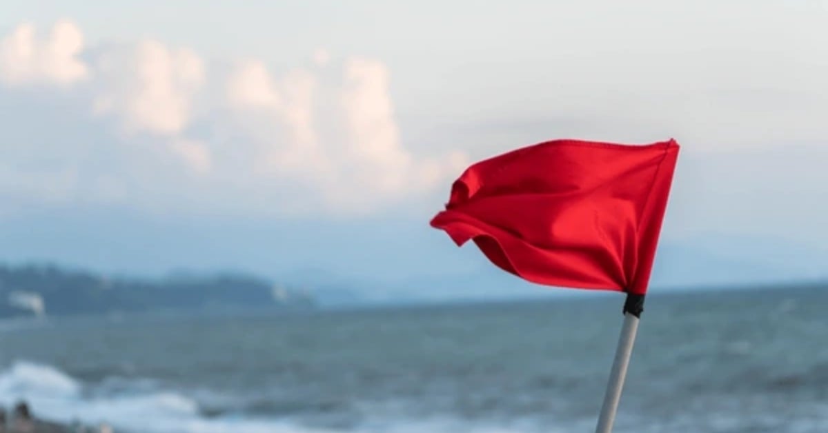
Under the plan, green flags mean low risk and regular use of the shore. Yellow signals moderate risk and urges caution, especially for children, older adults, and people with respiratory issues. Red flags mean high risk and a ban on entering the sea or doing activities at the waterline.
On day one, the state marked yellow between the Pluma y Lápiz landmark in Progreso and Chicxulub. It marked red from Pluma y Lápiz west to Celestún. Officials say zones can shift as lab results change.
What the first day looks like on the coast
The committee that sets the flags includes state health officials, federal regulators, and research labs. It meets often during the bloom. The group also coordinates cleanups of stranded organisms with environmental and civil protection agencies.
The state says the goal is to replace rumor with lab-based calls. It also wants the same colors seen by swimmers to line up with fishing rules offshore, so the public hears one message.
What scientists are seeing in the water
Yucatán’s bloom has shifted in composition as the season progressed. Early August samples near Progreso showed a surge of the diatom Rhizosolenia, tied to low oxygen and fish kills. Later tests detected toxic dinoflagellates, including Prorocentrum lima and Pyrodinium bahamense, above permitted limits in parts of the coast.
That mix explains why some days bring dead fish from hypoxia, while other days raise food-safety risks from microalgal toxins. It also explains why flags can change beach by beach.
What this means for seafood and fishing
In mid-August, authorities declared a red-tide event along roughly 117 kilometers from Progreso to Celestún and imposed a general sanitary closure for small-scale fishing up to 40 kilometers offshore. Regulators then narrowed the most restrictive fishing polygon to 15 kilometers offshore between Progreso and Sisal, based on new sampling.
The fishing map is not the same as the beach flags, but the two are linked. Both reflect current science. Both can expand or shrink as the bloom moves.
How to follow official updates
The committee plans regular sessions while the bloom persists. It will announce flag changes, lab findings, and any new closures through official channels. The state urges residents and visitors to rely on those updates rather than social media rumors.
Transparent colors on the sand should help. They tell families when it is safe to enjoy the shore, when to use caution, and when to sit it out.