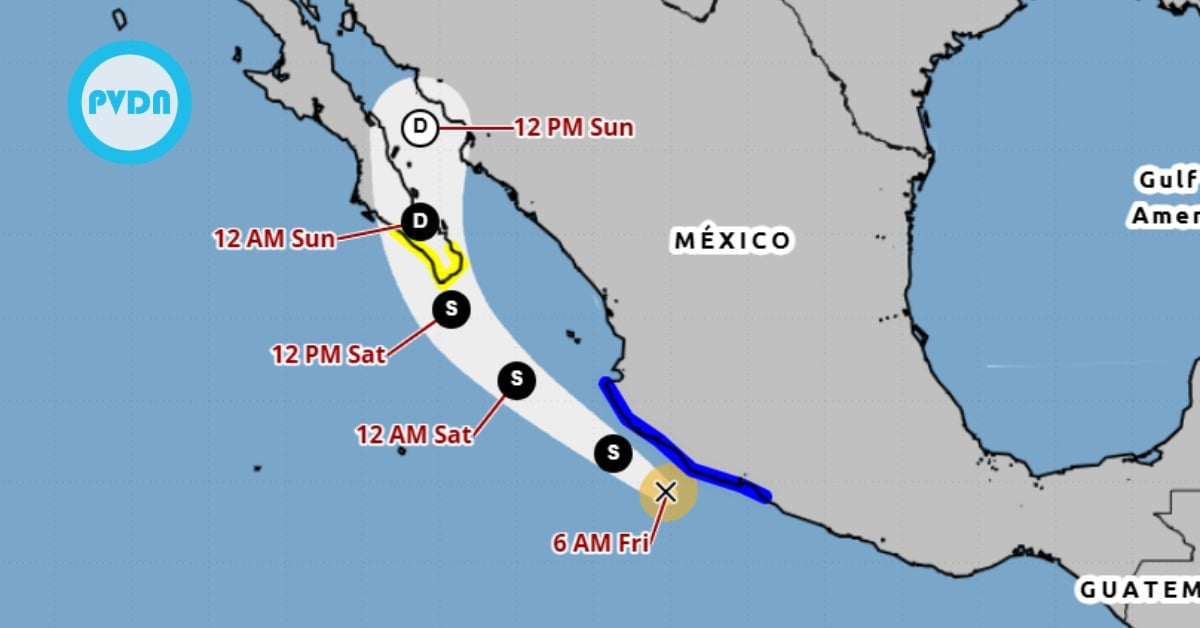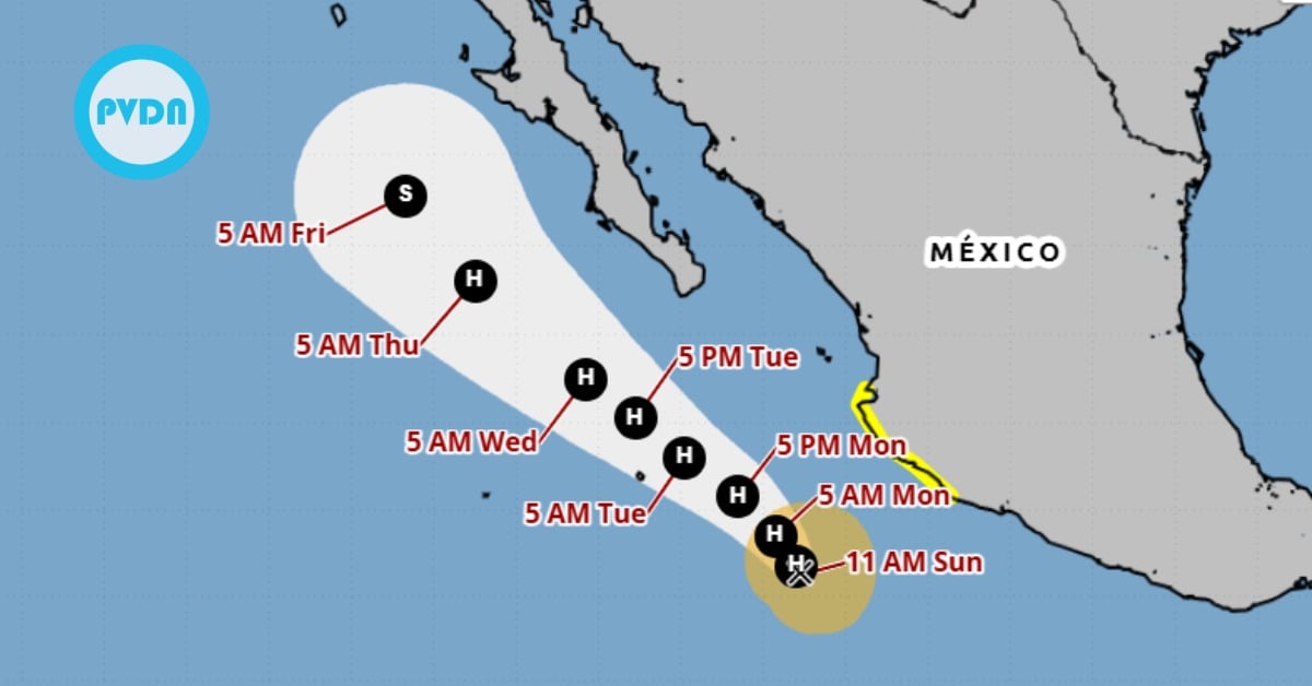
Puerto Vallarta is now under a tropical storm watch as Priscilla edges north just offshore. Forecasters say the system could reach hurricane strength while tracking parallel to the coast, with outer bands already sending high surf and rip currents toward Jalisco’s beaches. Rain totals along the coast may be enough for flash flooding in steep terrain, and tropical-storm winds are possible within the next day or so. Local authorities urge caution on the beach and close monitoring of official updates as the forecast evolves.
Puerto Vallarta is under a tropical storm watch this afternoon as Tropical Storm Priscilla inches north-northwest offshore, strengthening and drawing deep moisture toward Jalisco’s coast. The National Hurricane Center has issued a watch from Punta San Telmo to Punta Mita, which covers the Bahía de Banderas region, including Puerto Vallarta and Cabo Corrientes. At 11 a.m. MST (12 p.m. local time), Priscilla held maximum sustained winds near 70 mph and a minimum central pressure of 989 mb. Forecasters say it will likely become a hurricane while remaining just offshore.
Puerto Vallarta tropical storm watch
A tropical storm watch means conditions are possible within about 48 hours. Bands from Priscilla are expected to keep pushing ashore today through Monday, with bursts of heavy rain, gusty squalls, and building surf. The center’s track guidance keeps the core of strongest winds over water as the storm parallels the coast, but any jogs inland or persistent rainbands could still produce impacts around the bay. Tropical-storm-force winds already extend well beyond the center, and the system is moving slowly, which increases concerns about rainfall.
Forecasters expect 1 to 3 inches of additional rainfall along Jalisco’s coast, with locally higher totals in the mountains. That raises the risk of flash flooding and mudslides on saturated slopes. Mariners and beachgoers face another immediate hazard: life-threatening surf and rip currents as long-period swells reach west-central Mexico and the southern Baja peninsula by Monday. Local marine bulletins reflect the strengthening trend and indicate that the storm will track just offshore of the region through midweek.
What to watch in the next 24–48 hours
Puerto Vallarta’s risk profile revolves around three key factors: rainfall rates, onshore wind bursts, and surf. Even without a landfall, prolonged feeder bands can drop quick inches of rain in the hills above town and along Highway 200. Beach conditions can deteriorate fast under rip currents, especially near river mouths like the Cuale and Pitillal. Authorities in Jalisco and federal forecasters advise residents and visitors to monitor official updates and avoid risky shoreline areas while the watch remains in effect. If warnings replace the watch, expect faster changes in local closures and port restrictions.
By the numbers (NHC, 11 a.m. MST / 12 p.m. local, Sunday, Oct. 5, 2025): center at 16.5°N 107.1°W, about 285 miles south-southwest of Cabo Corrientes; moving north-northwest near 2 mph; maximum sustained winds 70 mph; pressure 989 mb. Outlook: additional strengthening with a track parallel to the coast. Hazards: heavy rain, tropical-storm-force gusts possible in the watch area, dangerous surf and rip currents.