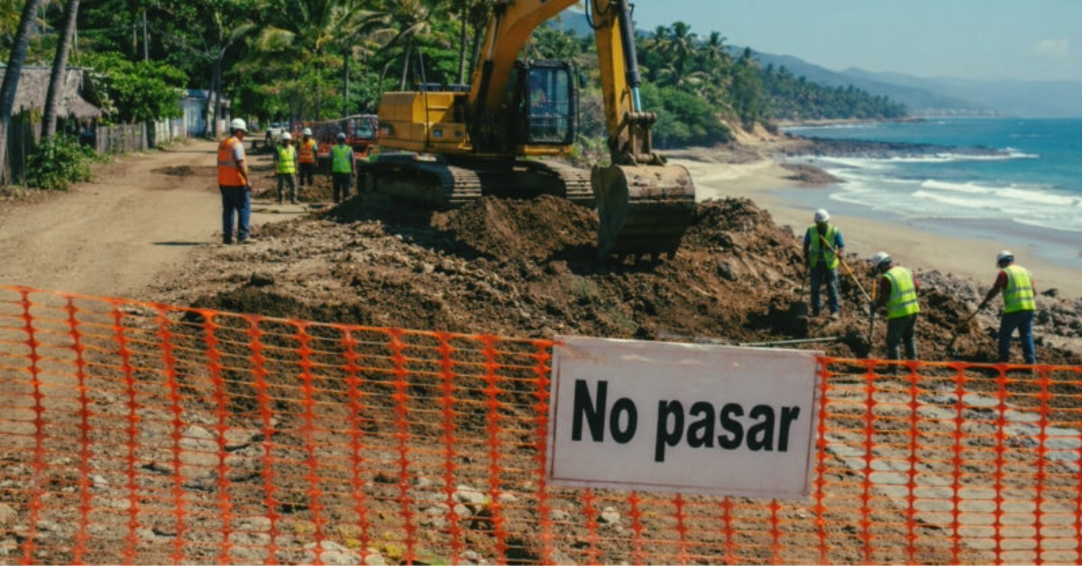
A new coastal project near Playa El Atracadero has reopened old fears in San Pancho, where beach access has become one of the most contentious disputes along the Nayarit coast. The project’s scope, permits, and environmental review remain central to the questions now being raised. The concern is not only about what is being built, but also about whether public access to the beach will survive once construction advances.
San Pancho residents question coastal project near Playa El Atracadero
Residents of San Pancho are asking authorities to clarify what is being built near Playa El Atracadero after new activity tied to a tourism project has renewed concerns that public access to the beach could be narrowed, controlled, or lost. Recent local reporting on the project says the demands center on permits, environmental approvals, the project’s footprint, and guarantees that the public route to the beach will remain open.
The concern is sharpened by what has already happened along the Bahía de Banderas coast. Punta de Mita’s Playa Las Cocinas beach-access dispute turned into a larger conflict over coastal construction, federal beach zones, and public oversight. In San Pancho, the fear is that El Atracadero could follow the same pattern if officials allow work to advance before the documents are fully public.
Mexico’s beach law is based on the central point. The Ley General de Bienes Nacionales lists maritime beaches and the federal maritime-terrestrial zone as public-use national assets. It also states that access to beaches and the adjacent federal zone may not be inhibited, restricted, obstructed, or conditioned except under rules set by regulation.
The same law defines the Zona Federal Marítimo Terrestre as a 20-meter strip of firm, walkable land next to the beach when the coast has a beach. If there are no public roads or routes from a public road, adjoining landowners must allow free access through routes agreed with Semarnat.
The permit question moves to the center
The request from San Pancho is not limited to a general promise that the beach will remain public. The demand is for documents. Residents want to know what municipal licenses exist, what Semarnat authorizations were issued, whether any ZOFEMAT concession is involved, and whether the project affects dunes, access roads, or coastal vegetation.
That distinction matters because a project can touch several layers of authority at once. A municipality may deal with land-use compatibility or construction licenses on private property. Semarnat and Profepa handle federal coastal and environmental questions. The public problem begins when each authority points to another, and no one produces the full permit trail.
Bahía de Banderas Mayor Héctor Santana has argued in a separate beach-works dispute that federal agencies control the beach zone. “People are trying to politicize it,” Santana said in May, adding that a municipal government is not authorized to approve work on the beach because the federal zone belongs to Semarnat and Profepa. He also said the public discontent was legitimate.
That position does not remove the municipality from the discussion about El Atracadero. Local authorities still control permits on private land, urban compatibility, and construction activity outside the federal strip. They also have the ability to request federal inspections, publish municipal files, and open a public review before construction turns into a harder legal fight.
San Pancho has seen this before
San Pancho already has a record of federal enforcement tied to coastal works. In 2017, Profepa inspected the Punta Paraíso San Pancho project over works in the federal maritime-terrestrial zone. In 2018, the agency said a cyclone fence had been removed and relocated after it had been installed outside the authorized polygon, freeing about 210 square meters of coastal dune and restoring free transit and access to the beach.
Those earlier actions are part of the reason El Atracadero has not been treated as a routine construction issue. The community has seen how a fence, a wall, a private security post, or a shifted access path can change public use of the coast even when a beach remains legally public. In beach towns, access is often lost through small physical changes before it is formally disputed.
The public access issue is also backed by penalties in federal law. Owners of land next to the federal maritime-terrestrial zone, concession holders, and permit holders can face fines if they block, restrict, or condition access to the federal zone or maritime beaches. In repeat cases involving concession holders or permit holders, the law allows revocation of the concession, authorization, or permit.
Pressure from Riviera Nayarit’s coastal buildout
San Pancho, Sayulita, and Punta de Mita sit inside a corridor where coastal land has become one of Nayarit’s most contested assets. Tourism projects bring investment, jobs, and tax revenue. They also bring pressure on roads, water, beaches, public space, and environmental enforcement.
That pressure is now visible in repeated conflicts over access. Last year, residents and activists also raised concerns over blocked historic routes and access near the Sayulita-San Pancho area, as covered in this report on the Sayulita-San Pancho ancestral trail and beach access.
At Las Cocinas, the dispute escalated around a luxury development, an escollera, and claims over whether public passage and the federal zone were being respected. The developer has maintained that it had permits and that free transit would continue, while opponents questioned the environmental and access impacts of works so close to the waterline.
El Atracadero now enters that wider pattern. The question is not whether all coastal construction is illegal. It is whether the authorities can show, before the work advances further, that the project is authorized, has undergone environmental review, and is physically compatible with free beach access.
What authorities have to clarify
The first public test is a documentary. Bahía de Banderas should clarify whether it issued any land-use, construction, or compatibility approvals tied to the El Atracadero project. If it did, the permits should show the authorized footprint and any access conditions.
Federal agencies should clarify whether Semarnat has issued an environmental authorization, a ZOFEMAT concession, a permit, or any related decision for the project area. Profepa can also inspect for allegations of work outside an authorized polygon, dune damage, obstruction of public access, or occupation of federal property.
Residents are asking for that review now, before the case becomes another prolonged fight over finished work. In coastal disputes, timing often decides the outcome. A public file can prevent confusion. A missing file can turn suspicion into protest.