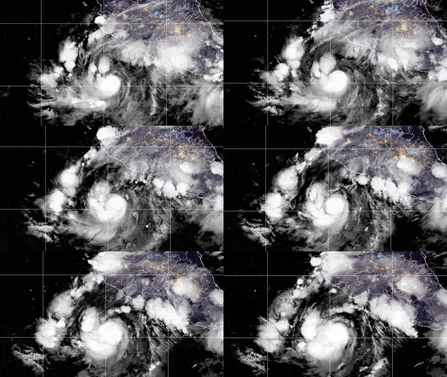
A broad area of thunderstorms south of Mexico is becoming better organized, although forecasters currently expect the system to remain well offshore as it moves west-northwest across the Pacific.
The National Hurricane Center is monitoring a large area of unsettled weather several hundred kilometers south of Mexico’s southern Pacific coast, which is expected to gradually develop over the coming days.
The disturbance is associated with a tropical wave, an elongated area of low pressure that can produce thunderstorms and sometimes develop into a tropical storm or hurricane.
At the moment, the system remains poorly organized. However, it is already producing widespread thunderstorms, gusty winds of approximately 37 to 46 kilometers per hour, and waves reaching around 2.4 meters.
Weather conditions over the eastern Pacific appear favorable for further development. Forecasters expect a tropical depression could form within the next two or three days as the system moves generally west-northwest, away from the southern coast of Mexico.
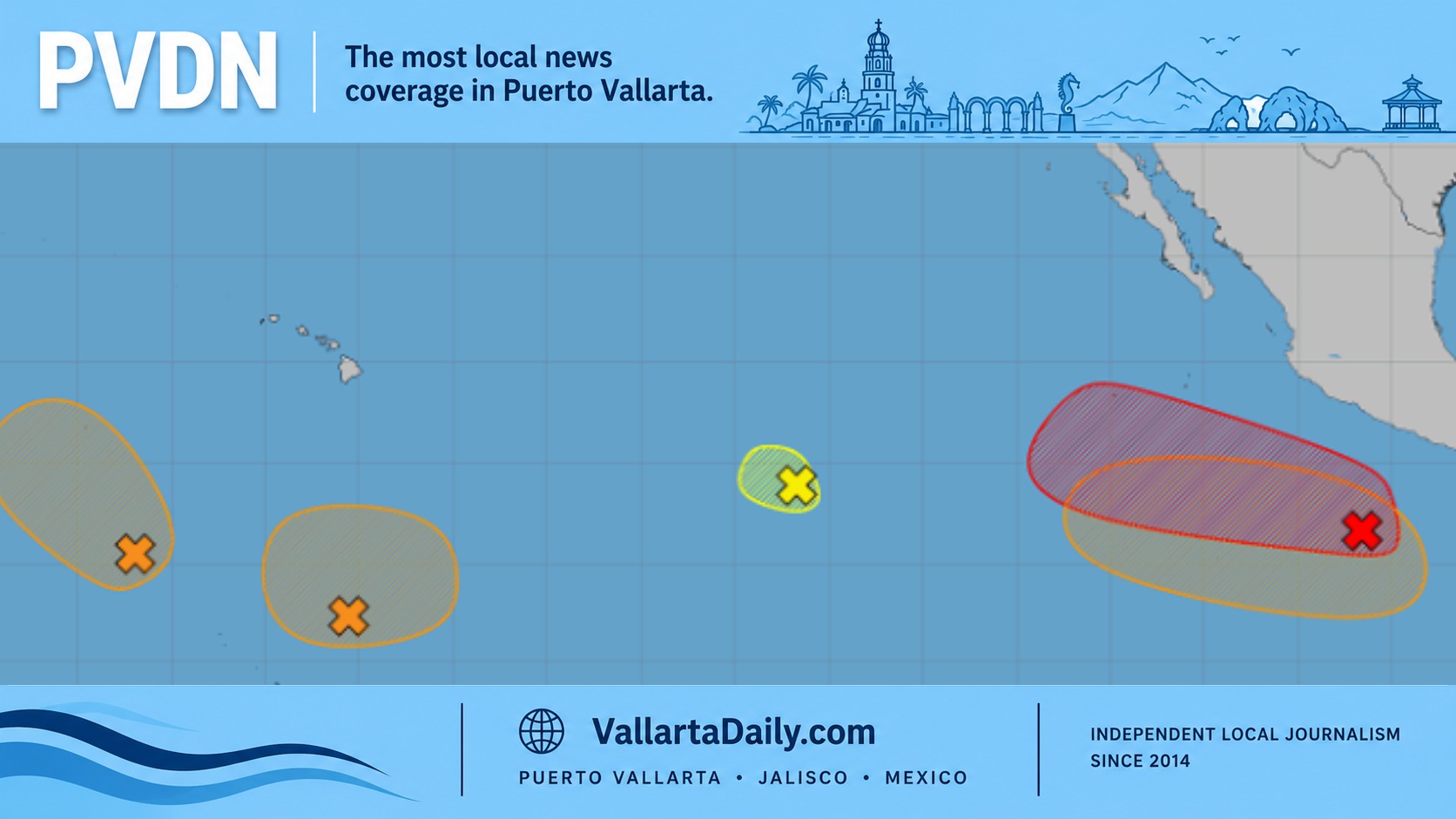
The National Hurricane Center currently gives the disturbance a medium chance of becoming a tropical cyclone within 48 hours and a high chance of developing over the next 7 days.
A tropical cyclone is the general term used for an organized rotating storm over tropical waters. The system would first be classified as a tropical depression and could later become a named tropical storm if its sustained winds reach strong enough levels.
No Immediate Coastal Threat Indicated
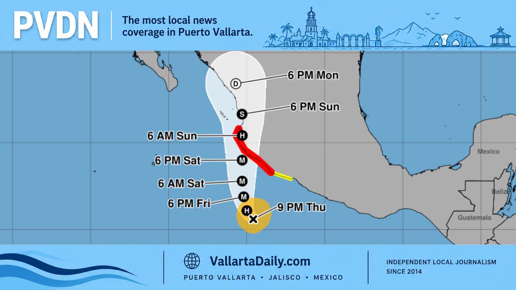
The current forecast keeps the disturbance well offshore. There is no indication in the discussion that the developing system is expected to make landfall in Mexico.
However, coastal waters south and southwest of Mexico are already experiencing periods of thunderstorms, gusty winds, and rough seas. Conditions may be especially hazardous for fishing boats, tour operators, and other small vessels operating far offshore.
The system’s projected movement and strength could change as it becomes more organized. Residents and maritime operators along Mexico’s Pacific coast should continue to monitor official forecasts throughout the week.
Another System May Develop Later This Week
Forecasters are also watching a second area where low pressure may form several hundred kilometers south of Mexico by the middle of the week.
Conditions could allow that disturbance to gradually organize, with a tropical depression possibly forming late in the week or during the weekend. It is also expected to move west-northwest while remaining well offshore.
The second system currently has a low chance of tropical cyclone formation over the next 48 hours and a medium chance over the next 7 days.
A separate disturbance located far west-southwest of the Baja California Peninsula is becoming less likely to develop as it moves into an area with less favorable atmospheric conditions.
Rough Marine Conditions Expected in Some Areas
Fresh to strong northerly winds are expected to continue periodically in the Gulf of Tehuantepec, particularly during the overnight and early morning hours. Rough seas may develop at times.
The Gulf of Tehuantepec is known for strong winds that funnel through the mountains of southern Mexico and accelerate over the Pacific. These winds can create dangerous conditions even when no tropical storm is present.
Elsewhere along Mexico’s Pacific coast, winds are generally expected to remain light to moderate. Waters near Baja California and within the Gulf of California should experience comparatively calmer conditions, although winds may increase in the central and northern Gulf of California around midweek.
For Puerto Vallarta and the surrounding coast of Jalisco, the discussion does not currently indicate a direct tropical storm threat. Nevertheless, increased ocean swell and changing marine conditions are possible when tropical systems develop south of Mexico, even when their centers remain far offshore.
Residents should rely on updates from the National Hurricane Center and Mexican civil protection authorities as the disturbances develop.