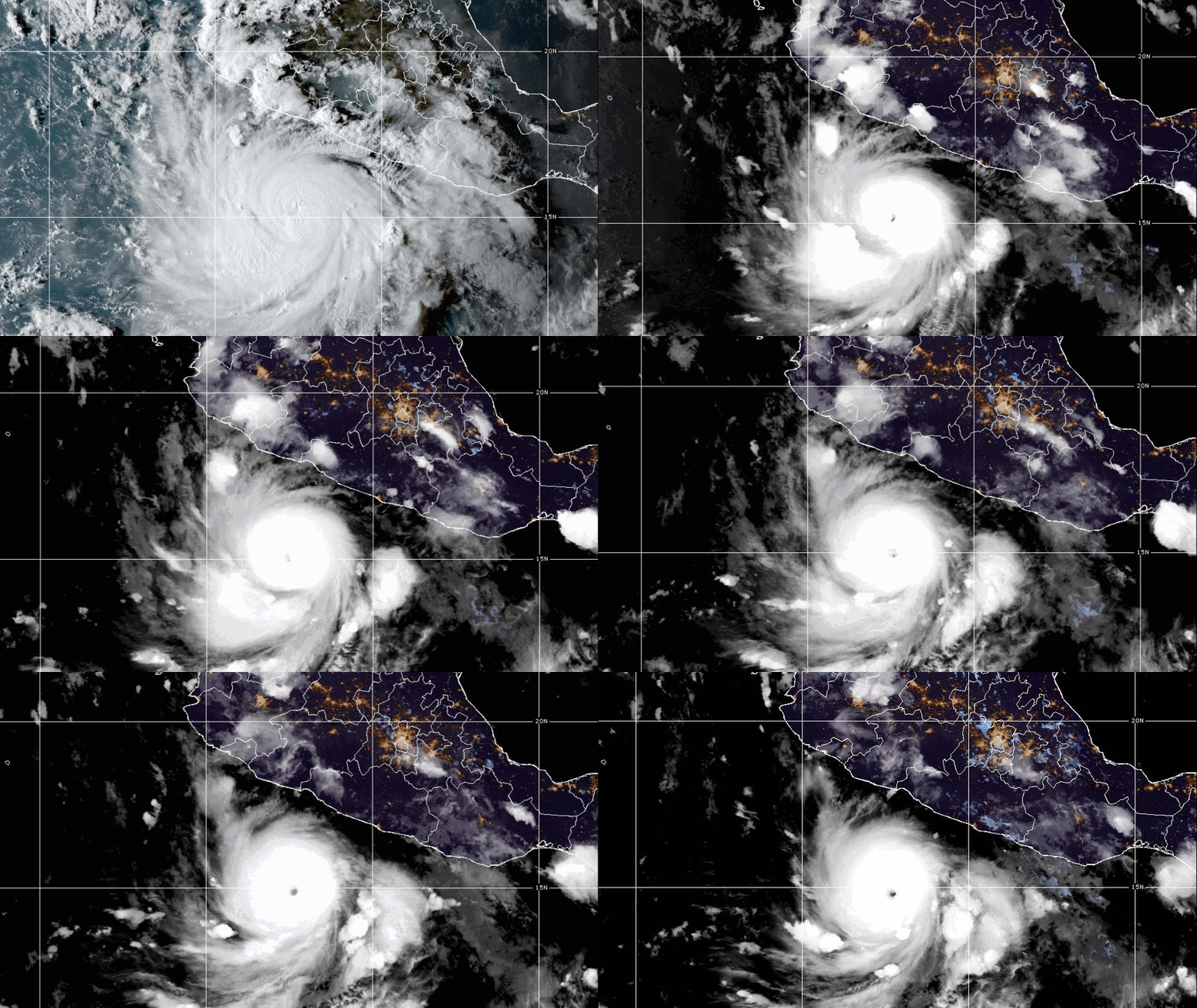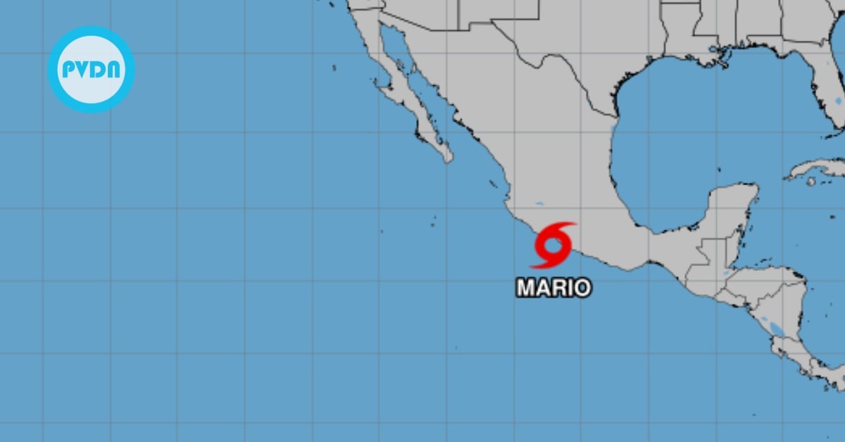
Tropical Storm Mario spun up just off Guerrero at 9:00 a.m. Mexico City time and is sliding west-northwest, parallel to the coast. Forecasts call for hefty rain in Guerrero, Michoacán, Colima, and Jalisco, rough surf building through the day, and brief tropical-storm conditions possible in Michoacán’s watch area. While guidance keeps the core offshore and trending away on Saturday, the storm’s rain bands and high seas will be felt across the central Pacific coast. Puerto Vallarta should see more clouds and scattered afternoon or evening showers as Mario makes its closest pass this weekend.
Tropical Storm Mario
By late morning Friday, the National Hurricane Center confirmed that Tropical Depression Thirteen-E strengthened into Tropical Storm Mario just off the coast near Zihuatanejo, at 9:00 a.m. Mexico City time, the center was about 65 km south-southwest of Zihuatanejo and 95 km south-southeast of Lázaro Cárdenas, moving west-northwest at roughly 22 km/h with sustained winds near 65 km/h. Mexico’s government issued a tropical storm watch from Lázaro Cárdenas to Punta San Telmo, meaning tropical-storm conditions are possible within 12 hours.
Forecasters expect Mario to continue tracking roughly parallel to the shoreline today before beginning to pull away from the coast on Saturday. Even as the compact core stays offshore, rain bands and gusty squalls will arc into the coastline, and seas will remain rough in the watch area and beyond.
What to expect along the coast
The storm’s circulation is primed to wring out hefty rainfall across the central Pacific states. Official guidance highlights 50–75 mm accumulations through the next 24 hours in Guerrero, Michoacán, Colima, and Jalisco, with lightning and brief visibility drops on highways; landslides and rapid rises in small rivers are possible in steep terrain. Authorities urge residents and mariners to take precautions and follow civil protection instructions.
Winds will freshen along exposed beaches and headlands, and surf of 2.5–3.5 meters is expected on the coasts of Colima, Michoacán, and Guerrero, spreading into southern Jalisco as the day goes on. That surf can run up quickly on open beaches and around river mouths; heed local closures and avoid jetties and piers during peak sets.
Puerto Vallarta and Banderas Bay
For Puerto Vallarta and the broader Banderas Bay, the near-term story is clouds thickening after midday with a chance of showers or brief thunderstorms, mainly later today into the weekend. Local forecaster Víctor Manuel Cornejo López notes Mario’s track is paralleling the coast but gradually bending away toward the Revillagigedo Islands. On that path, the storm doesn’t pose a direct threat to coastal towns, but it will help trigger moderate rains across Colima, Jalisco, and Nayarit. He estimates the closest approach to Puerto Vallarta will be Saturday afternoon, on the order of 240 km southwest of Cabo Corrientes.
Beach conditions will vary around the bay, with the roughest seas and strongest onshore push typically south of the bay’s opening and along more open-ocean exposures near Cabo Corrientes. Expect intermittent squalls, quick downpours, and choppy waters for small craft, especially during the afternoon and evening peaks.
Why it matters now
Mario arrives on the heels of an active eastern Pacific season and at the start of Mexico’s patriotic holiday weekend, amplifying travel and outdoor risks. The NHC characterizes Mario as a “tiny” storm—tropical-storm-force winds only extend about 40 km from the center—yet its rain footprint and surf impacts reach far wider. That combination often lulls coastal residents into underestimating hazards, especially flash flooding and rip currents. Keep plans flexible, check local alerts, and give rivers, arroyos, and cliffside roads extra respect until the storm has fully passed.