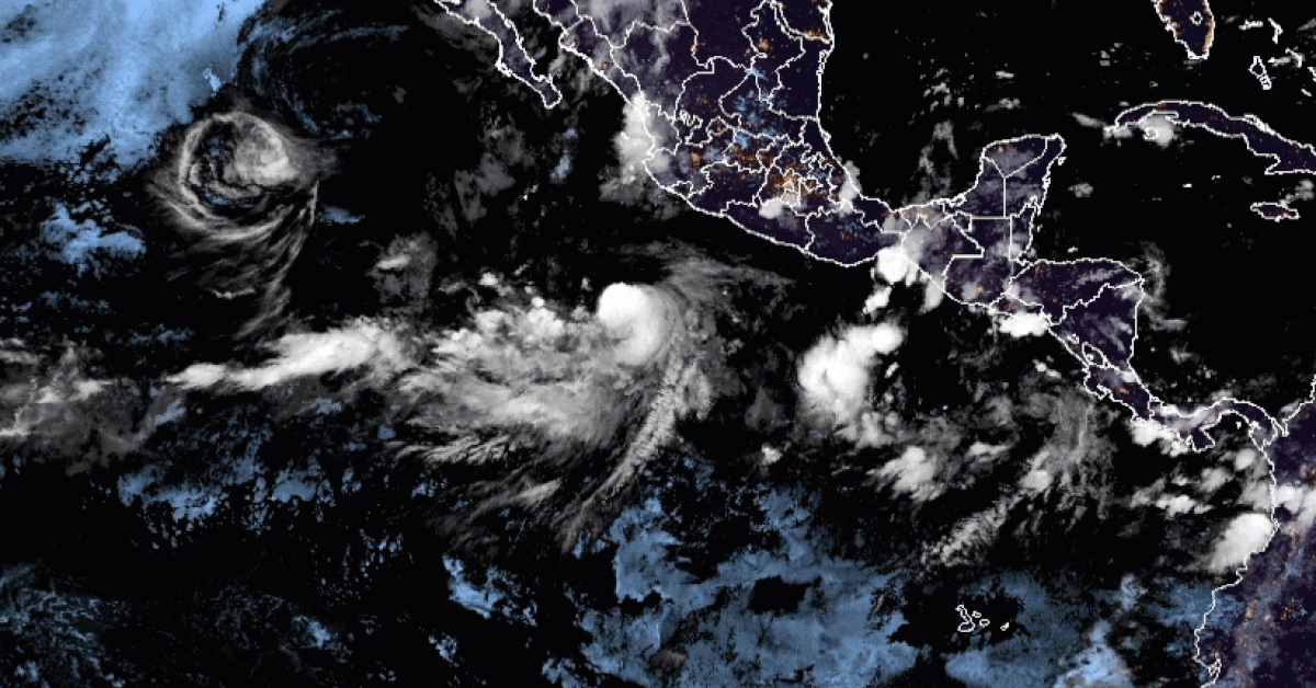
This Thursday, August 12, Tropical Storm Linda's strength increased and became a category 1 hurricane, and will continue to affect western Mexico.
The National Meteorological Service (SMN) reported that the center of the system is located 620 kilometers southwest of Manzanillo, Colima.
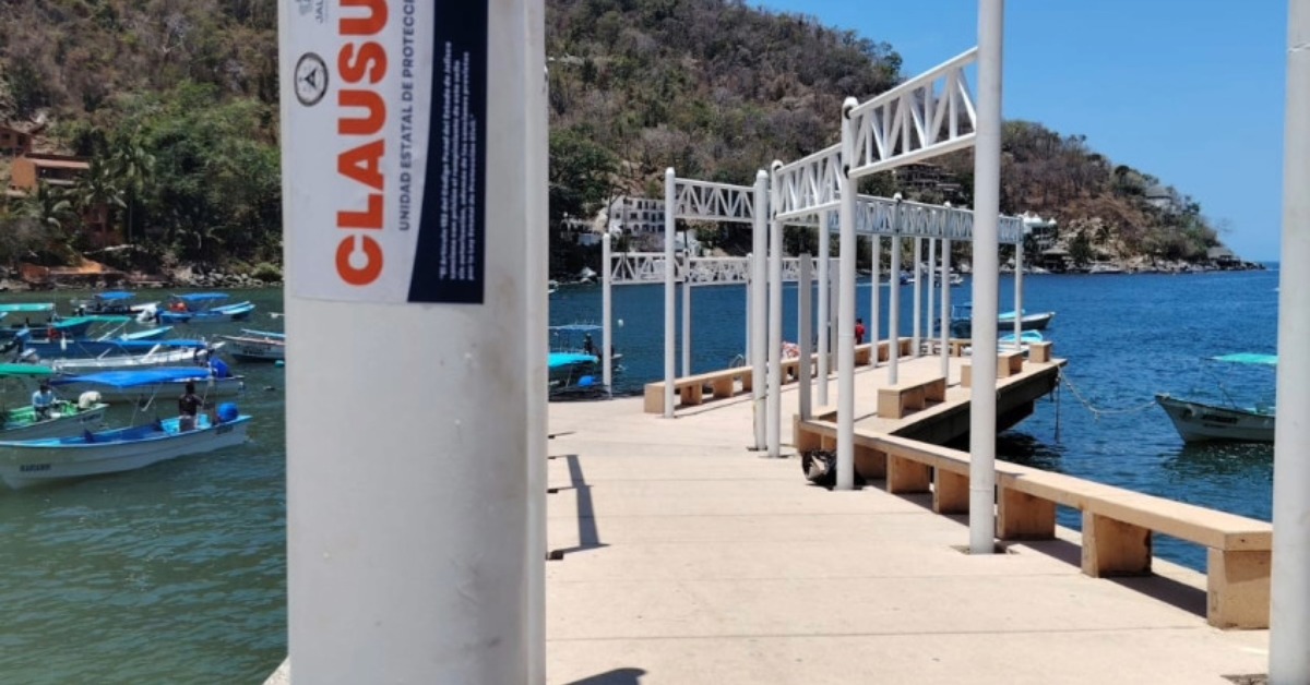
Although it will not make landfall, its broad cloud bands will spread over the country, leaving very heavy rains in Nayarit, Jalisco, Colima, Michoacán, and Guerrero. In addition, it will generate gusts of wind from 50 to 60 kilometers per hour on the coast of Colima and Michoacán, where the . . .