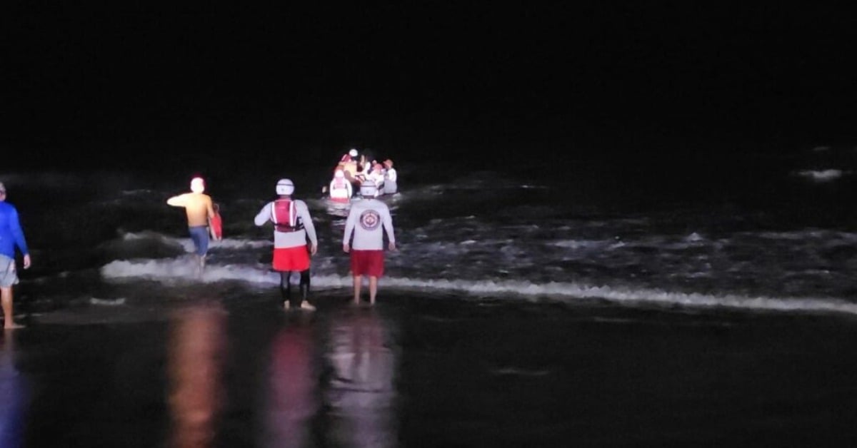
Late Tuesday, August 19, a fast-building storm turned parts of Mazatlán into brown canals, stalled traffic across low-lying neighborhoods, and left 22 people stranded on Isla Venados—better known locally as the “isla del medio.” Civil Protection coordinated with the municipal Aquatic Rescue Squad to ferry everyone back to shore without injuries. The same burst of rain pushed water deep onto main corridors and coincided with at least one vehicle rollover reported without casualties, the kind of hectic evening locals know too well during peak rainy season.
Heavy rains flood Mazatlán streets
City responders closed several streets while pumps and gravity did their slow work. Drivers waded beside idling cars; bus passengers waited out the worst under awnings and shopfronts. By nightfall, the priority had shifted offshore: a tour group pinned by wind and chop on Isla Venados needed a controlled evacuation, and lifeguards staged boats between lulls to bring them back safely. Authorities described a coordinated operation, standard when storms arrive faster than crews can clear drains or tour operators can turn vessels around.
A quick storm, familiar problems
This week’s burst didn’t come out of nowhere. Meteorologists had flagged a four-day window for storms across much of Mexico, with the monsoon, upper-level troughs, and tropical waves combining to prime the northwest coast. For Mazatlán, August has already delivered several heavy episodes—earlier in the month, the local observatory logged one of the highest 24-hour rainfall totals in the country—so saturated ground and clogged inlets made Tuesday’s flooding more likely. The city’s flood map highlights the same trouble spots every year; when rain stacks up in an hour, those warnings become closures.
Rescue on the “middle island”
Isla Venados sits just off the Malecón, a short hop on a panga in calm weather and one of Mazatlán’s signature day trips. It is also part of a protected coastal ecosystem with specific rules for visitors and tour operators. When the weather flips, that short hop can turn into a trapped-ashore scenario: wind stacks waves in the channel, visibility drops, and small boats stand off. The Aquatic Rescue Squad’s job is straightforward—wait for a safe window, move people in stages, and avoid adding a second emergency on the water. That’s what happened Tuesday. Everyone made it back. No injuries. A lesson, again, about leaving early when clouds build fast over the bay.
What Tuesday tells us about the season ahead
Storms will keep pulsing through August. Sea surface warmth is high, and afternoon heating feeds local cells that pulse with lightning, outflow winds, and rapid rises in curb-high water. The city has invested in clearance runs for storm drains. It keeps sand-bag stacks ready, but household habits—tying down trash, lifting appliances, parking upslope when possible—still make a difference on nights like these. Offshore, the safest call is often the simplest one: if the forecast nudges toward thunderstorms, skip the late run to the islands. There will be other days.