In Los Cabos, the question is not whether beaches are public. Under Mexican law, they are. The harder question is how people actually reach them when the route crosses private land, old informal paths, or poorly marked access points. Officials now say the municipality has made progress on planning, but legal certainty remains lacking in some of the places residents and visitors have long used to reach the shore. That gap matters more than it sounds in one of Mexico’s most developed coastal destinations.
Public access is still a legal right with practical gaps
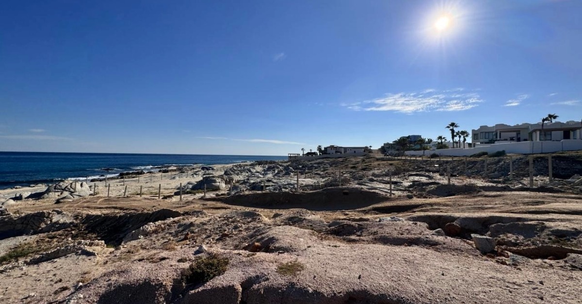
Guaranteeing public beach access in Los Cabos remains unresolved in places where private property overlaps with long-used entry routes. Officials say the problem is not uniform. Some access points are already public and clearly defined. Others have been used for years through customary access routes, but lack the legal strength needed to survive disputes over private land. That leaves authorities trying to turn informal practice into enforceable access.
The issue came back into focus this week after federal and local officials described the challenge in blunt terms. They said progress has been made in planning and coastal order, but not every route has the legal certainty needed to guarantee passage for everyone. In practical terms, that means Los Cabos is still dealing with a familiar problem. The beach itself may be public, but the path to reach it can still be contested, confusing, or physically restricted.
Why Los Cabos keeps running into the same problem
Los Cabos is one of Mexico’s most valuable tourism corridors, and that has shaped the coast for decades. Hotels, residential compounds, private developments, and tourism infrastructure sit beside beaches that remain public under federal law. That tension is not new, but it has become harder to ignore as development has expanded and more people expect reliable, clearly marked access.
Local authorities are now responding with a more formal approach. At the end of March, the municipality presented a Censo, Delimitación y Acceso a Playas program with federal coordination. The idea is to map the coastline, define boundaries, identify access points, and create the legal and planning record needed to support future agreements. Officials presented it as a way to bring legal certainty, better coastal management, and stronger public communication to a problem that has often been handled on a case-by-case basis.
What Mexican law says and why that still is not enough
Mexican law is clear on the broad principle. Access to maritime beaches and the adjacent zona federal marítimo terrestre cannot be blocked, restricted, or conditioned. The law also says that when no public route exists, owners of neighboring land must allow access through points agreed with environmental authorities, with compensation handled under the rules. Blocking access can bring heavy fines and, in repeat cases involving concessions, even revocation.
But the law does not automatically solve every local conflict. In places where a route was used by habit rather than formal agreement, authorities still need a legally defensible passage. That can require negotiation, technical review, boundary work, and sometimes compensation. In short, the public right may already exist, but the usable route must still be secured on the ground. That is why officials in Los Cabos are talking less about slogans and more about order, inventory, and certainty of passage.
The local data shows the size of the challenge
Municipal planning documents show why this is more than a symbolic debate. Los Cabos recorded 135 beach access points across its coastline in a 2024 study cited in the municipal development plan. Of those, 80 were listed as free access, 23 as closed, 14 as controlled, and 18 as having no access. The same plan says the municipality needs to formalize that survey into an official catalog of beaches and access points to provide legal certainty and guide improvements to signage and infrastructure.
That finding matters because it translates a general complaint into a measurable problem. It also shows that Los Cabos is not starting from zero. Authorities already have a baseline. What is still missing is the next step: turning a survey into a public, durable system that people can actually use. Until that happens, access will continue to depend too much on local knowledge, private negotiations, and on-the-ground conditions that can change from one beach to the next.
What happens next in Los Cabos
Officials have also made clear that there is no simple federal shortcut. They say the government does not have the resources to expropriate or indemnify every stretch of private land tied to coastal conflicts. That makes negotiated access points the more realistic path forward. The process will likely be slow, technical, and uneven, especially in areas where the route to the beach passes through land with strong private claims.
For residents, foreign homeowners, and long-term international readers, this is the key context. In Mexico, a beach can still be public even when access feels private. Los Cabos is now trying to close that gap between the law and lived reality. If the municipality can convert mapping, agreements, and legal review into clearly marked and protected entries, it could become a model for other coastal destinations. For now, though, the story is less about a solved problem and more about whether the next phase of coastal planning will finally make public access work in practice.
Deep Dive:
Hoteliers lose ground as Mexico beach access law advances