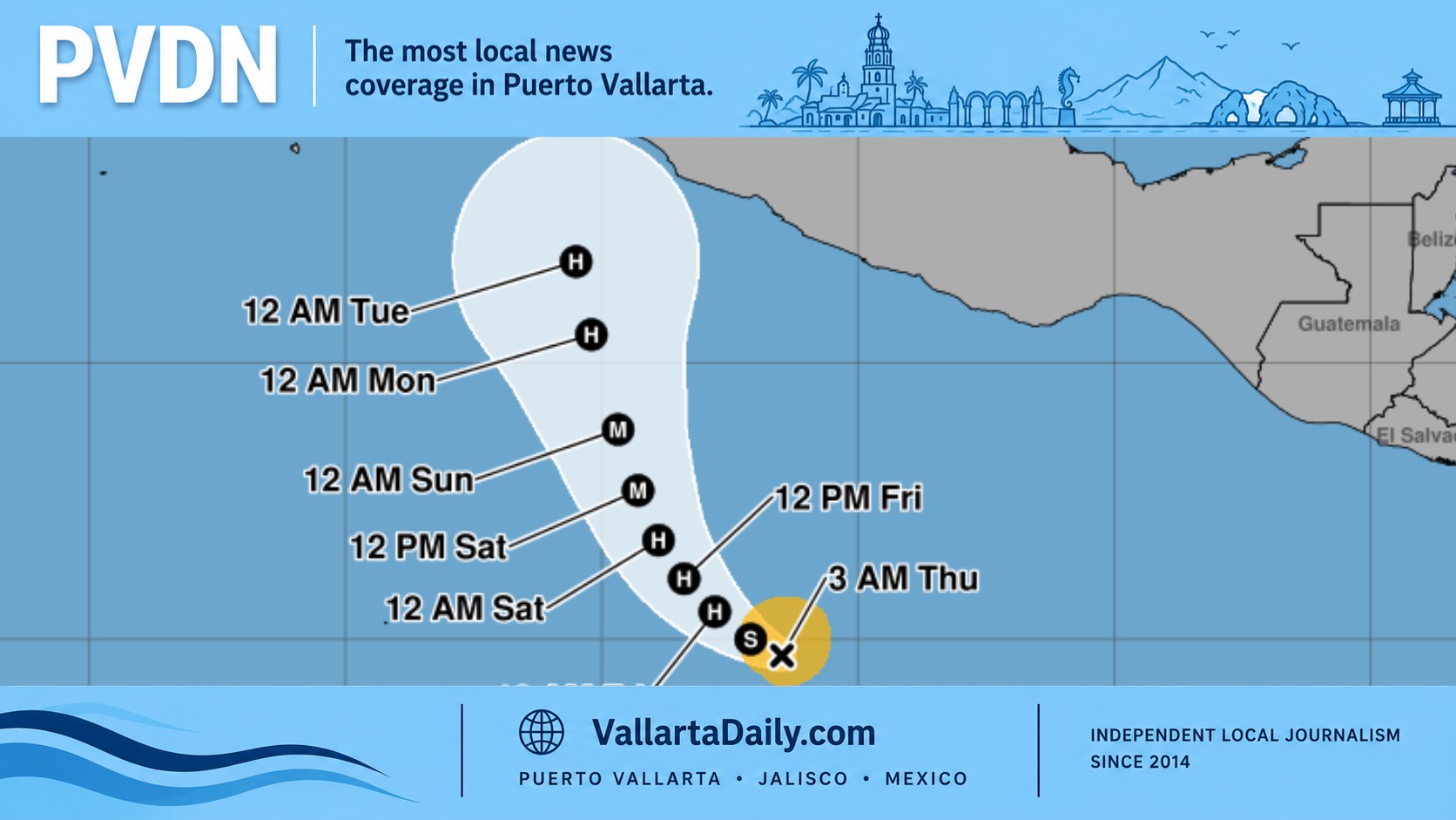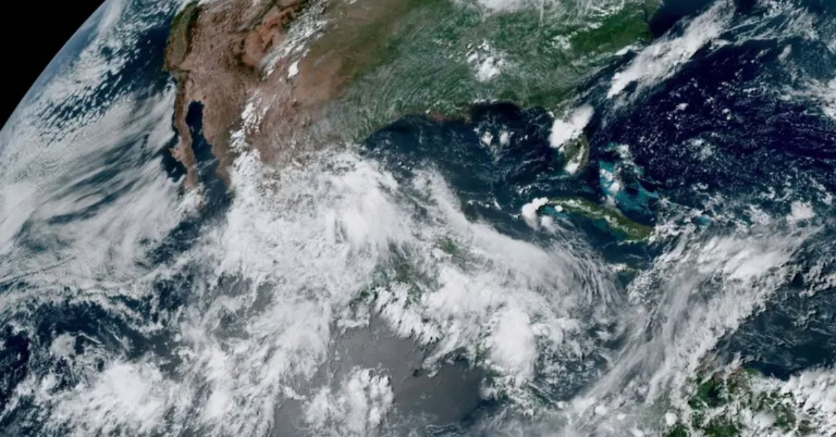
After Hurricane Erick’s devastation, Mexico faces a 40% chance of new cyclone Flossie forming near Chiapas and Oaxaca between June 23 and 29, 2025.
The destruction left behind by Hurricane Erick is still unfolding across southern Mexico, but forecasters are already warning that another tropical threat could be on the way. The National Meteorological Service (SMN) reported that there is a 40% chance a new tropical cyclone, which would be named Flossie, will develop off the Pacific coast between June 23 and 29, 2025.
The potential storm is expected to form near the same region where Hurricane Erick rapidly intensified—off the coasts of Oaxaca and Chiapas. That hurricane went from a tropical cyclone to a devastating Category 4 hurricane in a short span, making landfall on June 19 in Pinotepa Nacional, Oaxaca.
According to the SMN, a division of the National Water Commission (Conagua), satellite data and atmospheric models now suggest a growing likelihood that a low-pressure system forming in the region could evolve into the next named storm of the 2025 Pacific hurricane season.
What we know about the next cyclone
If current projections hold, the developing system will be named Flossie. The SMN announced this possibility in a weather advisory shared via social media, noting that conditions are favorable for tropical development over the next week. The area of concern lies just offshore from Chiapas and Oaxaca, where warm ocean waters and atmospheric instability are creating the perfect environment for cyclonic activity.
The announcement comes on the heels of Hurricane Erick’s destruction, which caused widespread flooding, wind damage, and displacement in southern Mexico. Communities in Pinotepa Nacional and neighboring municipalities are still in recovery mode after Erick’s landfall, which brought torrential rains and sustained winds well above 200 km/h.
How tropical cyclones form
Tropical cyclones are among the most destructive weather phenomena, and the SMN has laid out the typical lifecycle of these systems:
- Tropical Disturbance: Begins with atmospheric instability and low pressure, causing wind convergence.
- Tropical Depression: Winds pick up to sustained speeds of up to 62 km/h.
- Tropical Storm: Winds strengthen to between 63 and 118 km/h and take on a spiral cloud pattern. At this stage, the storm receives a name.
- Hurricane: Maximum sustained winds exceed 119 km/h, and the storm can reach up to 900 kilometers in diameter. It is then classified using the Saffir-Simpson scale, which ranges from Category 1 to Category 5 based on wind speed.
A hyperactive start to the season
The 2025 Pacific hurricane season officially began on May 15 and has already produced five named storms—Alvin, Barbara, Cosme, Dalila, and Erick—out of an anticipated 20.
Among them, Barbara reached Category 1 hurricane status, while Erick intensified into a dangerous Category 4 storm, leaving a trail of destruction in its wake. Authorities say the early surge in storm activity may signal a particularly intense season ahead.
The SMN estimates that the season will see between 16 and 20 total systems, with 8 to 9 likely becoming tropical storms, 4 to 5 reaching Category 1 or 2 status, and 4 to 6 expected to become major hurricanes (Category 3 or higher).
Coastal communities on alert
With the recent memory of Erick’s wrath still fresh, emergency preparedness efforts are already underway in Chiapas and Oaxaca. Civil protection authorities are monitoring the development of the low-pressure zone and coordinating with federal agencies to ensure rapid response should Flossie form and pose a threat to land.
Residents in vulnerable coastal and low-lying areas are urged to remain alert, follow official updates, and have evacuation plans ready. The risk of flooding and landslides remains high due to soil saturation from previous storms.
What’s next
Meteorologists will continue to monitor the Pacific for signs of organization within the current low-pressure zone. If the system’s wind speeds increase and its structure becomes more defined, it will be upgraded to a tropical depression, then to a named tropical storm.
As of now, the likelihood stands at 40%—a moderate risk that warrants close attention given how quickly Erick evolved into a powerful and destructive force. Conagua and the SMN will release updated advisories in the coming days.
For now, all eyes are on the Pacific, where the next chapter of this already busy hurricane season may be about to begin.