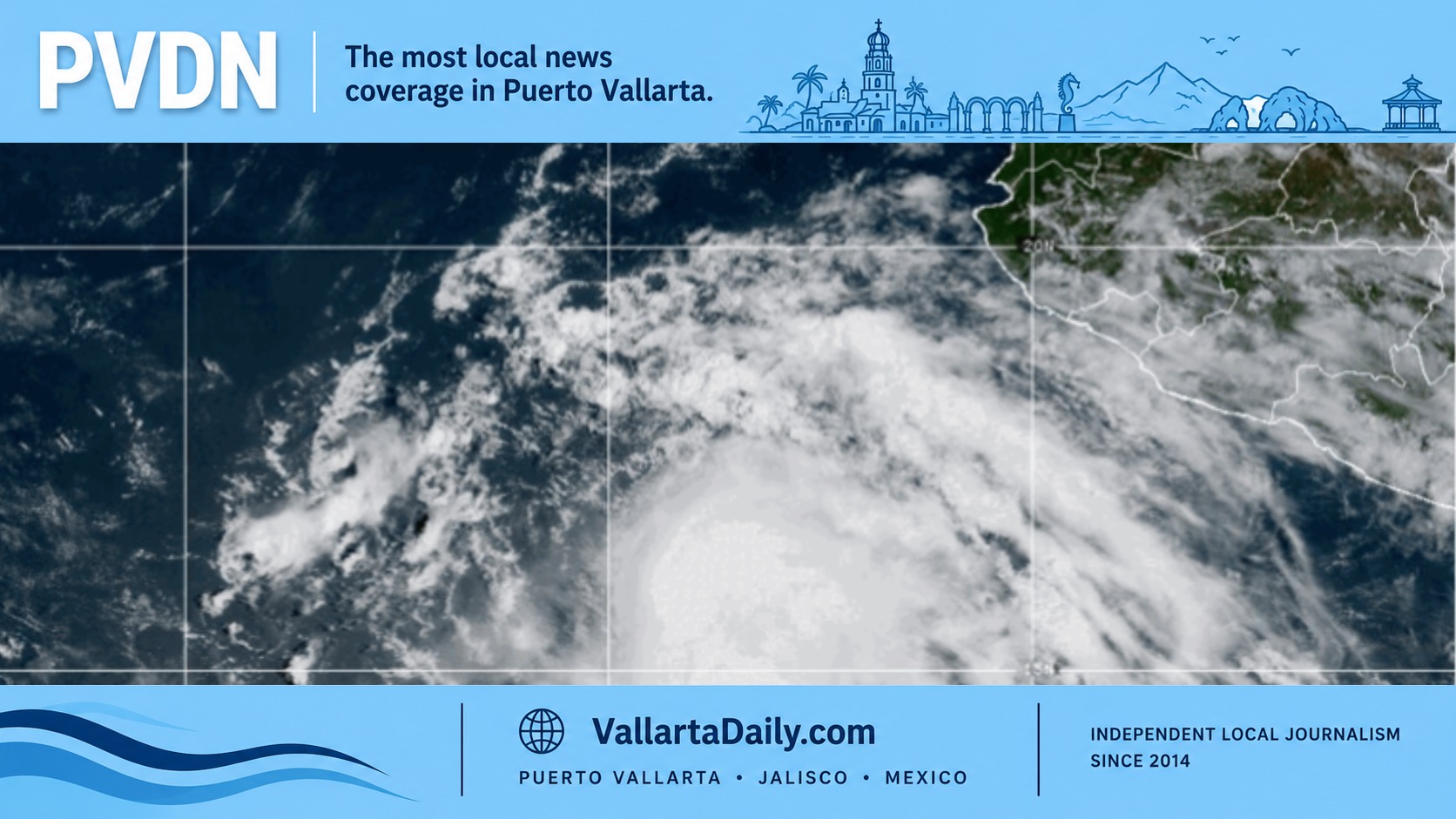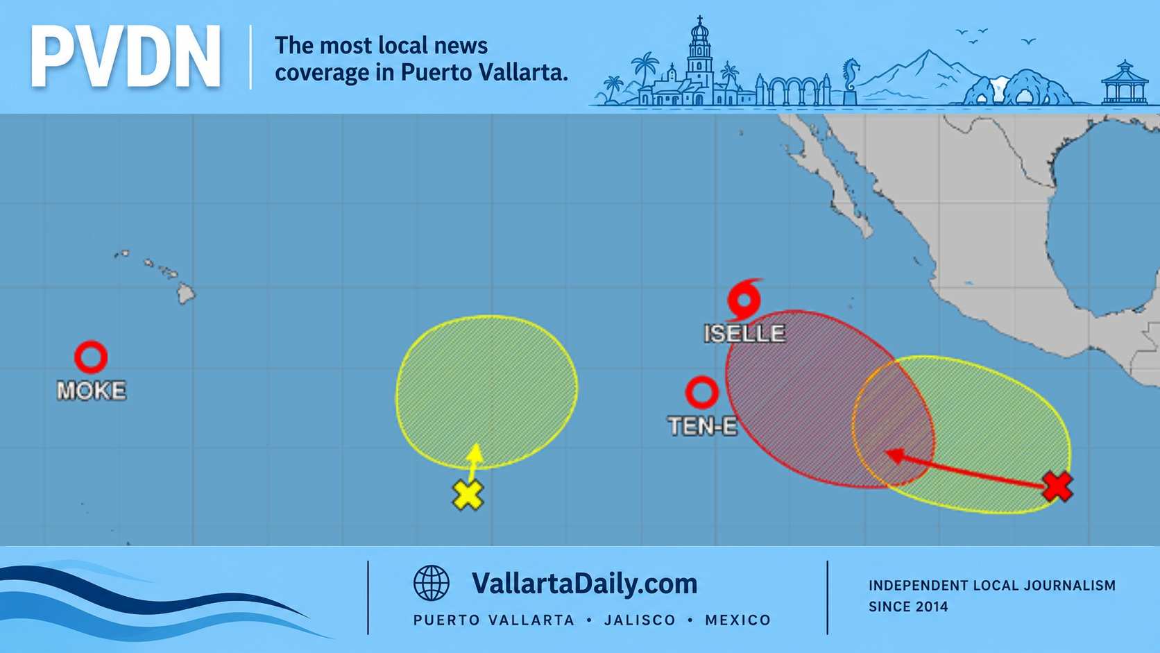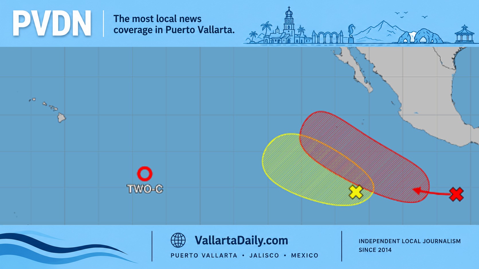
Puerto Vallarta, Jalisco, Sept. 10, 2026 — Tropical Storm Norbert formed Thursday far southwest of Baja California and was moving west, with no coastal watches or warnings in effect for Mexico.
At 10 a.m. Puerto Vallarta time, Norbert had sustained winds of 65 kilometers per hour. Its center was 1,215 kilometers southwest of the southern tip of Baja California.
The storm was moving west at 22 kilometers per hour. Forecasters expected that motion to continue through Friday before a turn toward the west-northwest Friday night.
No direct Puerto Vallarta impact in the forecast
Our review of the 8 a.m. forecast track found no part of Mexico under a coastal watch or warning. The official advisory listed hazards affecting land as “None.”
Norbert’s center was far beyond the Revillagigedo Islands and moving farther from Puerto Vallarta, Cabo Corrientes and the Costalegre.
The forecast does not show tropical-storm winds reaching Banderas Bay. Those winds extended no more than 95 kilometers from Norbert’s center Thursday morning.
That means Norbert poses no immediate direct threat to residents, hotels or businesses along the Malecón, Playa Los Muertos or Marina Vallarta.
Boat operators and visitors should still distinguish the storm’s distant track from local marine conditions. Open-ocean swell can reach the Jalisco coast even when a cyclone remains far offshore, but Thursday’s official coastal forecast did not attribute local conditions to Norbert.
Local rain and surf have separate drivers
The national weather forecast for Thursday called for 1.5- to 2.5-meter swell along the Jalisco coast. It also projected wind gusts of 30 to 50 kilometers per hour across parts of the state.
Those conditions were associated with a broader Pacific swell and Mexico’s rainy-season weather pattern. The forecast cited low-pressure channels, upper-level disturbances, and tropical waves 37 and 38.
The heaviest rain forecast for Jalisco was concentrated in the state’s northern and eastern regions, not along the Puerto Vallarta coast.
Local thunderstorms can still create short periods of poor visibility, stronger winds, and rough water around Banderas Bay. Anyone departing from Marina Vallarta, Los Muertos Pier or Boca de Tomatlán should use the day’s marine forecast rather than Norbert’s category alone.
Readers can follow changing local conditions through the Puerto Vallarta weather page and the 2026 hurricane season tracker.
Norbert could strengthen farther west
Forecasters expect Norbert to gain strength as it crosses warm Pacific water. However, its structure remained affected Thursday by moderate wind shear and dry air west of the center.
The forecast discussion said computer guidance showed “mixed signals” about how much strengthening would occur. Some models kept Norbert as a tropical storm, while another briefly brought it to hurricane strength.
The official forecast projected winds rising to 80 kilometers per hour Friday morning and 105 kilometers per hour Saturday. Norbert could reach hurricane strength early Monday near longitude 135 degrees west, far from Mexico.
The predicted track carries the storm west to west-northwest through the five-day forecast period. Forecast uncertainty increases with time, but the available guidance did not show a turn toward the Mexican mainland or Baja California.
Norbert developed from Tropical Depression Fourteen-E overnight, confirming the formation anticipated in earlier local meteorological reporting.
It became the 14th named storm of the 2026 eastern Pacific season. The basin had recorded four hurricanes and two major hurricanes through Thursday, according to the season summary.