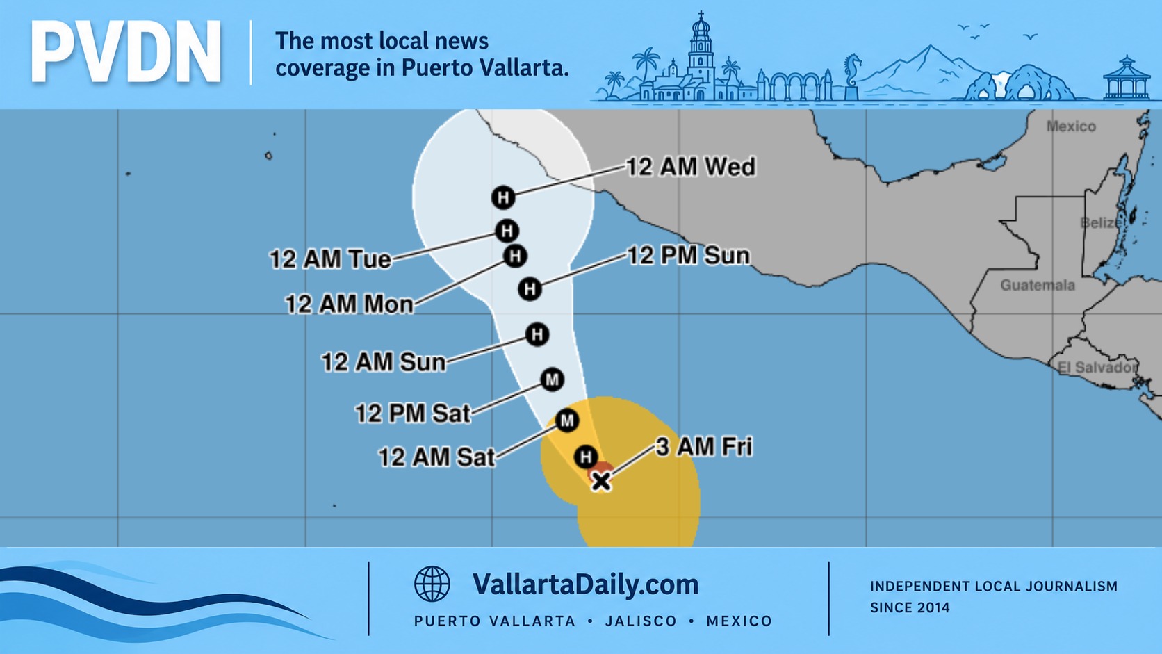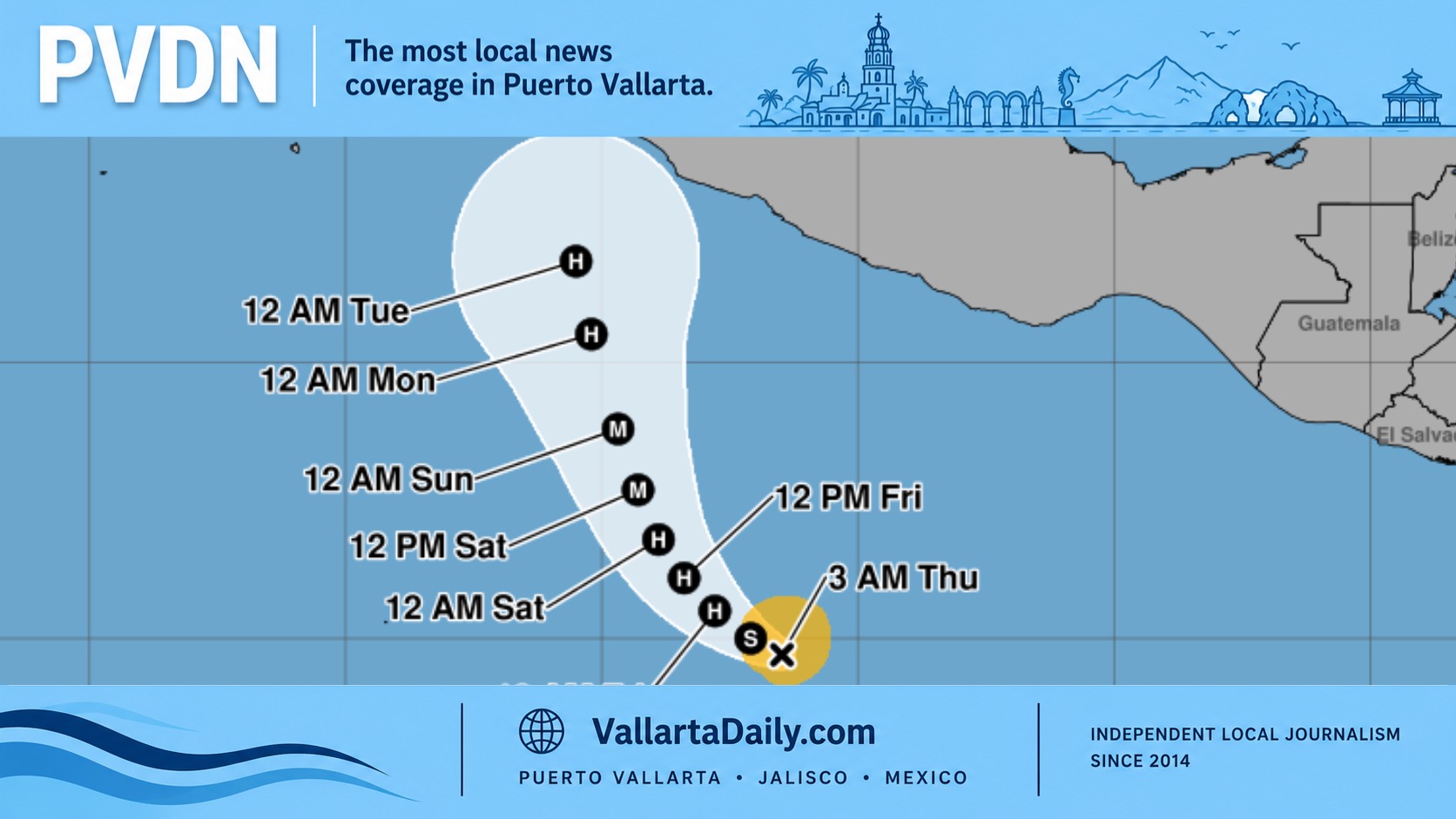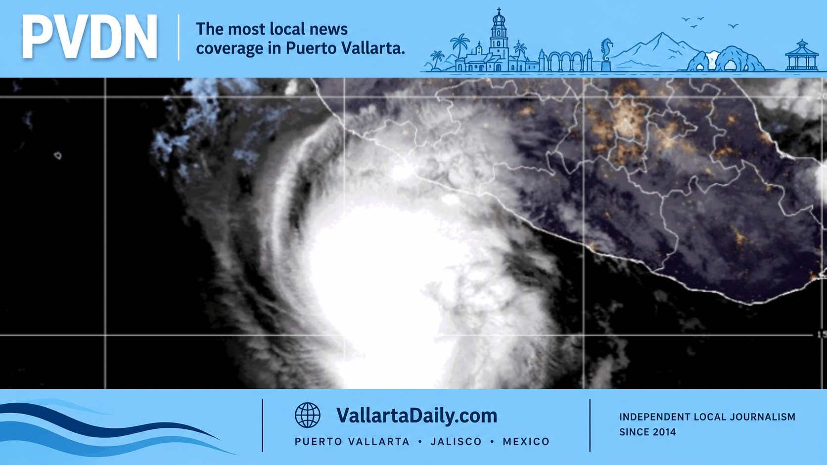
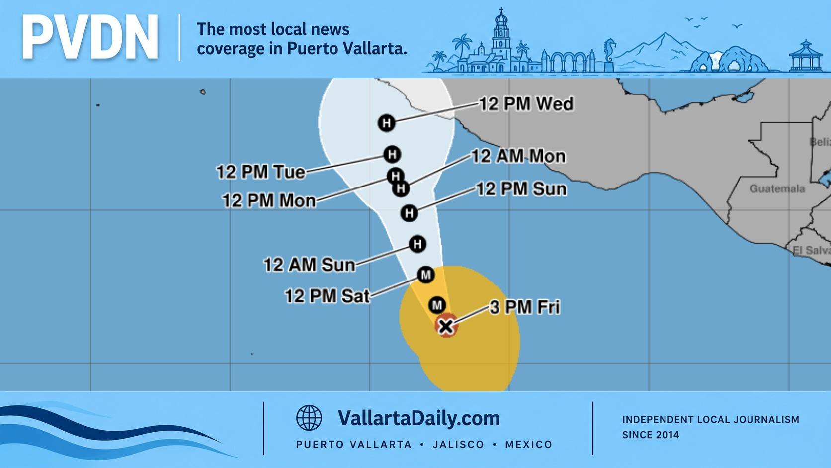
Puerto Vallarta, Jalisco, October 23, 2026 – Hurricane Vance strengthened to Category 2 Friday afternoon, with Jalisco placing its center 918 kilometers south of Cihuatlán and forecasting a closer approach next week.
The National Hurricane Center’s 3 p.m. advisory reported maximum sustained winds of 165 km/h, or 105 mph, with the hurricane moving northwest at about 7 km/h. No coastal hurricane or tropical storm watches or warnings were in effect at that time.
According to Jalisco’s afternoon bulletin, Vance’s closest approach to Cihuatlán is projected for 6 a.m. Wednesday, October 28, at a distance of 184 kilometers. That estimate describes a forecast offshore position relative to a municipality on Jalisco’s southern coast. It does not establish a landfall date or a closest-approach distance for Puerto Vallarta.
For residents deciding whether to keep a weekend beach outing or boat reservation, the immediate question is when the strengthening hurricane could begin changing conditions here.
The afternoon state bulletin does not provide a Puerto Vallarta-specific forecast for rainfall, wind, or the arrival of dangerous surf. A municipal notice detailing Vance-specific preparations, activated shelters or closures could not be verified for this report.
The Category 2 upgrade nevertheless advances the situation described in Vallarta Daily’s Friday morning coverage of Vance, when the system had recently become a hurricane.
The clearest coastal concern in the federal advisory is swell. The NHC expects waves generated by Vance to begin affecting parts of southern and southwestern Mexico this weekend and continue into next week, warning of “life-threatening surf and rip current conditions.”
That regional warning does not specify wave heights inside Banderas Bay. For someone booking a boat trip or planning to swim, current beach restrictions and the harbor master’s navigation notices are more useful than the storm’s distance alone. The October 28 forecast should not be treated as the first day coastal conditions could deteriorate.
Vance could also change strength substantially before then.
In its afternoon forecast discussion, the NHC described the intensity outlook as “low confidence.” Forecasters expected Vance to become a major hurricane overnight, then weaken as it encounters cooler water and increasing wind shear, or changes in wind with height.
Some renewed strengthening is possible after the hurricane moves beyond that cooler water. Its eventual strength also influences its path: the NHC explained that a stronger, more vertically organized hurricane could follow a different course from a weaker system disrupted by surrounding winds.
For households in Vallarta, the practical preparation remains straightforward. Jalisco’s published hurricane guidance recommends keeping drinking water, food, essential medicines, documents, a flashlight and batteries ready, while accounting for children, older relatives and pets. It also advises residents to identify evacuation routes and avoid flooded roads, rivers and streams.
Residents checking shelter locations should distinguish a designated building from an operating shelter. Jalisco’s October 8 shelter guide explains that identifying or preparing a facility does not mean its doors are open; authorities must announce its activation.