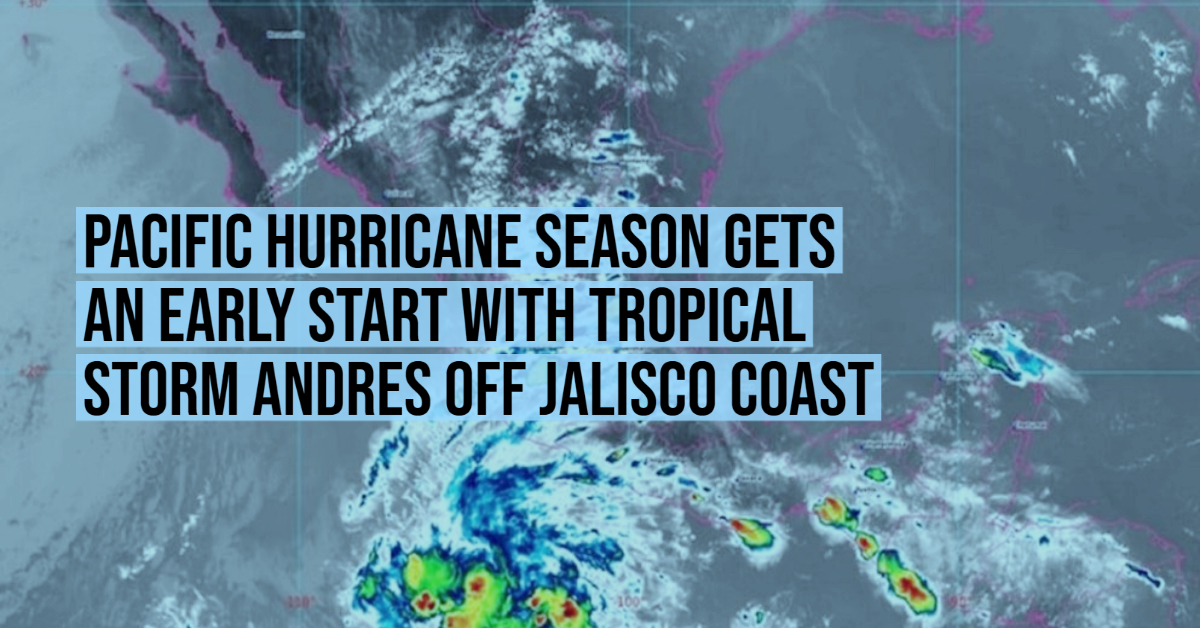
Tropical Storm Andres formed a few hours ago off the coasts of Jalisco and Michoacán, thus anticipating the start of the Pacific Ocean hurricane season – scheduled for May 15th. This was confirmed in its report by the National Meteorological Service (SMN), where it also warned that the system will intensify in the coming hours.
At 4:00 in the morning of this Sunday, the center of the cyclone was in the Pacific, 675 kilometers southwest of Punta San Telmo, Michoacán state, and 1,035 kilometers south-southeast of Cabo San Lucas, Baja California South. It’s moving very slowly towards the interior of the ocean, gradually moving away from the coast.
“For today, the tropical storm of the Pacific will be located off the coast of Jalisco and will increase the probability of rains in western, central and southern Mexico, very strong in Michoacán, strong in Jalisco and showers in Colima, all accompanied by lightning and possible hail fall ”, reported the climate agency.
The trajectory forecast shows that at least until Tuesday the system will continue to generate rainfall and winds in the national territory, despite the fact that it will not approach the mainland.
At 900 AM MDT (1500 UTC), the center of Tropical Storm Andres was located near latitude 14.1 North, longitude 107.9 West. Andres is moving toward the northwest near 6 mph (9 km/h), and this general motion is expected to continue through Monday. The cyclone is forecast to turn westward by late Tuesday, and continue that general motion on Wednesday.
Satellite data indicate that the maximum sustained winds have increased to near 40 mph (65 km/h) with higher gusts. Little change in strength is forecast today and tonight. Gradual weakening is expected to begin on Monday, with the system becoming a remnant low on Tuesday.
Tropical-storm-force winds extend outward up to 70 miles (110 km) from the center.
The estimated minimum central pressure is 1005 mb (29.68 inches).