Puerto Vallarta, Jalisco, August 24, 2026 – Two tropical systems were active in the eastern Pacific Monday, but neither was tracking toward mainland Mexico, leaving heavy regional rain as Puerto Vallarta’s immediate concern.
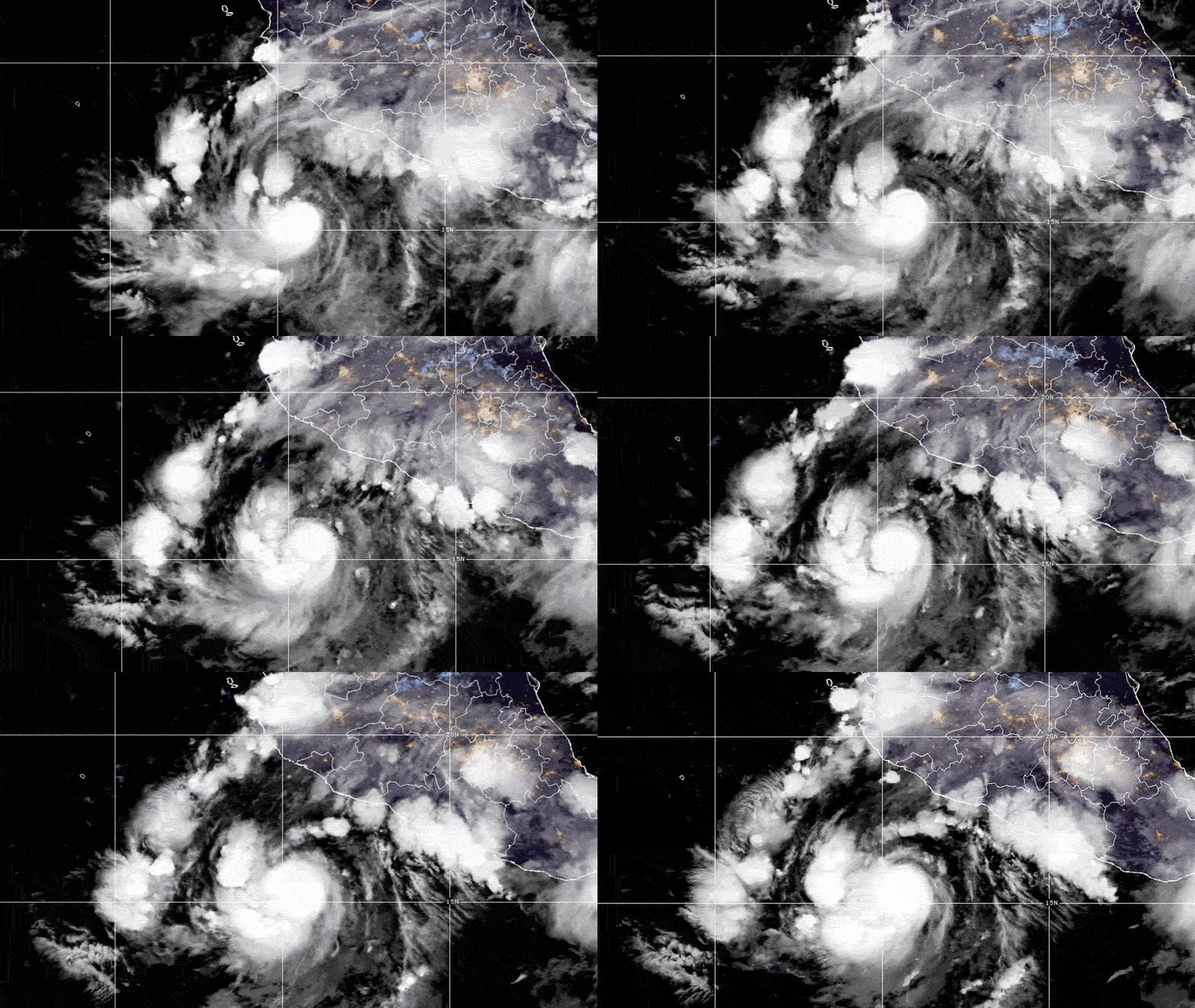
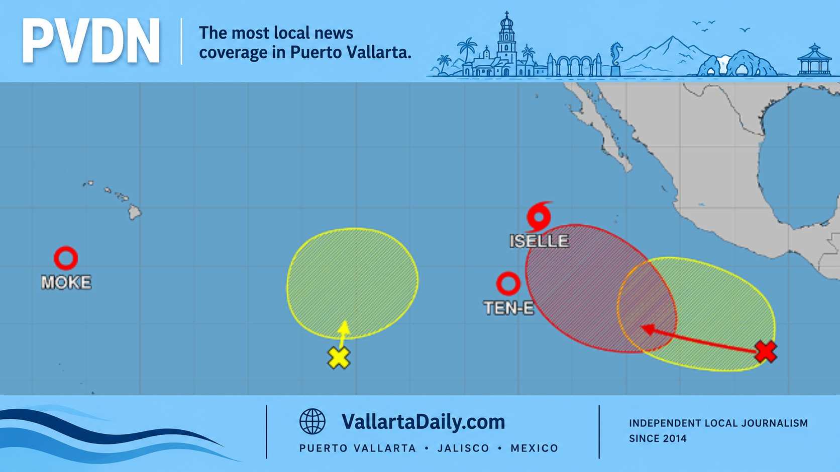
Tropical Storm Iselle was close to hurricane strength while newly formed Tropical Depression Ten-E was expected to remain separate only through Tuesday before being drawn into Iselle.
Western Jalisco still faces a wet and unsettled start to the week, but that risk comes from a different weather pattern. The heavy rain near Puerto Vallarta is tied to Tropical Wave 30, low-pressure troughs and atmospheric instability over western Mexico, rather than a direct strike or outer rainbands from either offshore cyclone.
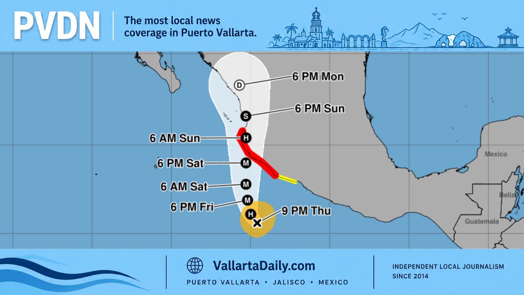
Iselle had maximum sustained winds of 110 km/h at 3 p.m. Puerto Vallarta time Monday, the equivalent of 2 p.m. Pacific time, and was moving northwest at 20 km/h. Its center was 935 kilometers west-southwest of the southern tip of Baja California. Using the coordinates in the latest National Hurricane Center advisory, the center was roughly 1,345 kilometers offshore from Puerto Vallarta.
The storm could briefly reach Category 1 strength Monday night, with winds near 120 km/h, before turning west-northwest and weakening Tuesday. The forecast carries Iselle farther into the open Pacific, with post-tropical status possible Thursday and dissipation projected by Saturday. Mexico’s National Meteorological Service reported no direct threat to national territory and issued no recommendations due to the storm’s distance and track.
No coastal watches or warnings were in effect. Tropical-storm-force winds extended as far as 315 kilometers from Iselle’s center Monday afternoon, leaving even the storm’s broadest wind field well away from the mainland.
The NHC did identify one indirect coastal effect along the Pacific-facing side of the Baja California Peninsula. Swells generated by Iselle were reaching Baja’s west coast and could produce dangerous surf and rip currents during the next couple of days. The eastern Pacific high-seas forecast showed seas rising to about nine meters close to the storm’s core. Those heights apply to the storm area in the open ocean, not to Jalisco beaches.
Ten-E formed Monday afternoon much farther southwest, near 13.5 degrees north and 120.8 degrees west. The first NHC advisory on the depression placed it 1,555 kilometers southwest of the southern tip of Baja California, with winds of 55 km/h and movement toward the north at 13 km/h.
The depression could become a short-lived tropical storm Monday night. Its circulation is then projected to be absorbed by Iselle Tuesday night. The NHC listed no land hazards and no coastal watches or warnings connected with Ten-E.
Puerto Vallarta’s weather picture is more local than the two cyclone tracks suggest. The SMN’s Monday forecast across Mexico placed western and central Jalisco in a 50-to-75-millimeter rainfall band. It also listed possible gusts of 40 to 60 km/h across Jalisco and seas of one to two meters along the state’s coast.
The 50-to-75-millimeter range represents possible point totals within the region, not a uniform total across Puerto Vallarta. Storm cells could bring lightning, reduced visibility, rising rivers and streams, landslides, street flooding and standing water in low areas. PVDN’s daily Puerto Vallarta weather report has the local timing and conditions, while an earlier report explains why city streets can flood quickly when mountain runoff, low ground and drainage limits converge.
The SMN outlook through Friday shifts Jalisco’s highest rainfall band toward the north and center Tuesday, then returns the 50-to-75-millimeter category to western and southwestern Jalisco Wednesday. One-to-two-meter seas remain in the Jalisco coastal forecast through Wednesday.
The next complete NHC advisories on Iselle and Ten-E are scheduled at 8 p.m. Pacific time Monday, or 9 p.m. in Puerto Vallarta.