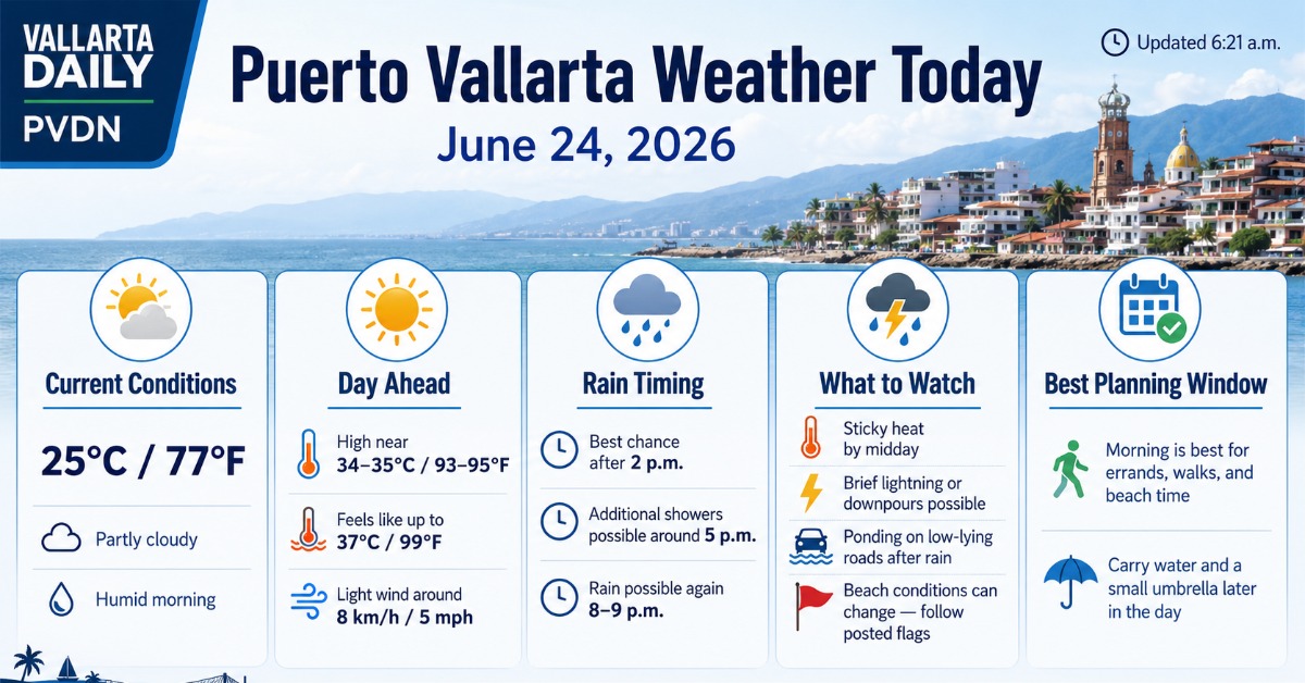
Puerto Vallarta, Jalisco, June 24, 2026 – Puerto Vallarta started Wednesday partly cloudy and humid, with current conditions at 6:21 a.m. showing 25°C / 77°F. Nearby airport weather reported passing clouds shortly before dawn, with humidity near 89% and a light northeast wind at around 8 km/h (5 mph).
The day should stay hot and humid, with the best outdoor window in the morning. Afternoon and evening rain remains the main planning issue, especially for errands, beach time, hillside roads, and anyone moving around low-lying streets after dark.
Morning Conditions in Puerto Vallarta
Early conditions were calm, warm, and sticky. The Puerto Vallarta airport weather report showed 27°C / 81°F at 6:06 a.m., with a feels-like reading of 31°C / 87°F.
Morning temperatures are expected to climb quickly, reaching around 29°C / 84°F by 9 a.m. and 31°C / 88°F by late morning. Skies should stay partly sunny to mostly sunny before clouds build later in the day.
Rain Timing for Wednesday
Forecast guidance points to a drier morning and a higher chance of showers later in the day. VallartaDaily’s weather pull showed rain windows around 2 p.m., 5 p.m., and again between 8 p.m. and 9 p.m.
The Met Office forecast for Puerto Vallarta International Airport put the day’s rain chance near 30% around 6 p.m. Timeanddate’s hourly outlook showed a higher evening signal, with thunderstorms possible after the afternoon.
Heat, Humidity and Wind
The afternoon high should reach about 33°C to 35°C / 91°F to 95°F, depending on cloud cover and where showers form. The heat index may feel closer to 37°C / 99°F during the hotter part of the day.
Humidity will make the air feel heavier, especially from late morning through mid-afternoon. Light wind is expected most of the day, generally below 16 km/h / 10 mph, with higher gusts possible near passing showers.
Beach, Port and Road Notes
No broad citywide beach closure or port disruption was found in the municipal weather advisories checked before publication. Beachgoers should still follow posted flags and lifeguard instructions, since local surf and current conditions can change faster than the citywide forecast.
For roads, the main risk is late-day rain. Brief downpours can cause ponding on flood-prone streets and slower traffic near low crossings, construction zones, and hillside routes. Drivers should be more cautious after sunset if showers arrive.
The SMN extended outlook placed western and southern Jalisco under a stronger rain setup during the Tuesday-to-Wednesday period, so lightning and heavier cells remain worth watching even if the morning starts calm.