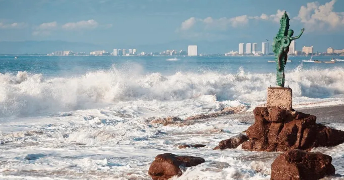
Puerto Vallarta, Jalisco, June 12, 2026 – Federal forecasters are warning of rough surf, gusty wind, and mar de fondo along parts of Mexico’s Pacific coast, including Jalisco, with beach and small-boat conditions expected to shift through the weekend.
The forecast is a coastal hazard warning that includes Jalisco’s shoreline, not specific to Puerto Vallarta, where stronger surf can arrive even when conditions look manageable from the sand.
The latest SMN wind and wave forecast listed a mar de fondo of 1 to 2 meters along the coasts of Jalisco, Colima, Michoacán, Guerrero, Oaxaca, and Chiapas for Friday, June 12. SMN also forecast wind of 10 to 20 km/h, with gusts of 30 to 50 km/h in Jalisco and several other states.
Jalisco included in Pacific coastal warning
For Puerto Vallarta, the main issue is beach safety: stronger wave sets, possible rip currents, and changing surf near shore.
The Mexican Navy’s Pacific marine forecast, issued at 8 a.m. Friday and valid through 8 a.m. Sunday, placed the broader central Pacific coast under seas of 5 to 7 feet, or about 1.5 to 2.1 meters.
The same forecast said troughs and tropical waves could bring local storms, strong gusts, elevated surf, lightning, and reduced visibility along the Pacific coast.
PVDN reviewed the Navy’s port status portal, which directs users to individual port captaincies for operational updates. As of this writing, the public page did not show a text-based Puerto Vallarta closure notice that could be independently confirmed from the portal.
That matters for boat tours, fishing trips, and private vessels. A surf advisory does not automatically suspend all maritime activity, but operators and passengers should confirm conditions with the harbor captain, marina, or tour company before leaving the bay.
Rain adds another concern for the coast
SMN’s extended outlook also forecasts very heavy to heavy rain for central and western Jalisco on Friday, with totals listed at 75 to 150 mm. The agency warned that heavy rain can raise river and stream levels, trigger landslides, cause flooding in low areas, and reduce visibility.
For Puerto Vallarta and the south coast, the marine forecast should be read together with rain alerts. Heavy rain in the hills can affect roads, arroyos, and low crossings before beach conditions improve.
The U.S. National Hurricane Center said at 11 a.m. Pacific time, Friday, that tropical cyclone formation was not expected in the eastern and central North Pacific during the next seven days.
Another swell event is possible Monday
The Navy forecast also flagged a new mar de fondo event expected during the afternoon of Monday, June 15. That event could generate surf of 6 to 8 feet, long wave periods of 17 to 21 seconds, and rip currents from Chiapas to Sinaloa, including the Islas Marías and the entrance to the Gulf of California.
Long-period swell can be deceptive. The sea may look calm between sets, then produce stronger waves near jetties, rocky edges, river mouths, and steep beach slopes.
Mexico’s federal risk agency describes mar de fondo as a long, continuous swell generated by storms or strong winds over the open ocean. It can travel long distances and reach the coast even when local weather is not severe, according to CENAPRED guidance.
What to watch in Puerto Vallarta
Beachgoers should follow lifeguard instructions and posted flag warnings, especially where waves are breaking close to shore. Swimmers should avoid entering the water during red-flag conditions and should not assume calm-looking water means the risk has passed.
Small boats, paddleboards, kayaks, and personal watercraft face added risk from changing wind, confused chop, and stronger currents near shore. Operators should check the latest Navy and SMN forecasts before departures.
PVDN will continue tracking official coastal and weather updates on the Puerto Vallarta Hurricane Season 2026 Updates page and the Puerto Vallarta Weather Forecast and Climate Guide. Current beach and road notes may also appear on the Puerto Vallarta Live Map when conditions affect local movement or public safety.
Forecasts can change quickly during the rainy season. Check beach flags before entering the water, and check marine conditions before leaving the bay.