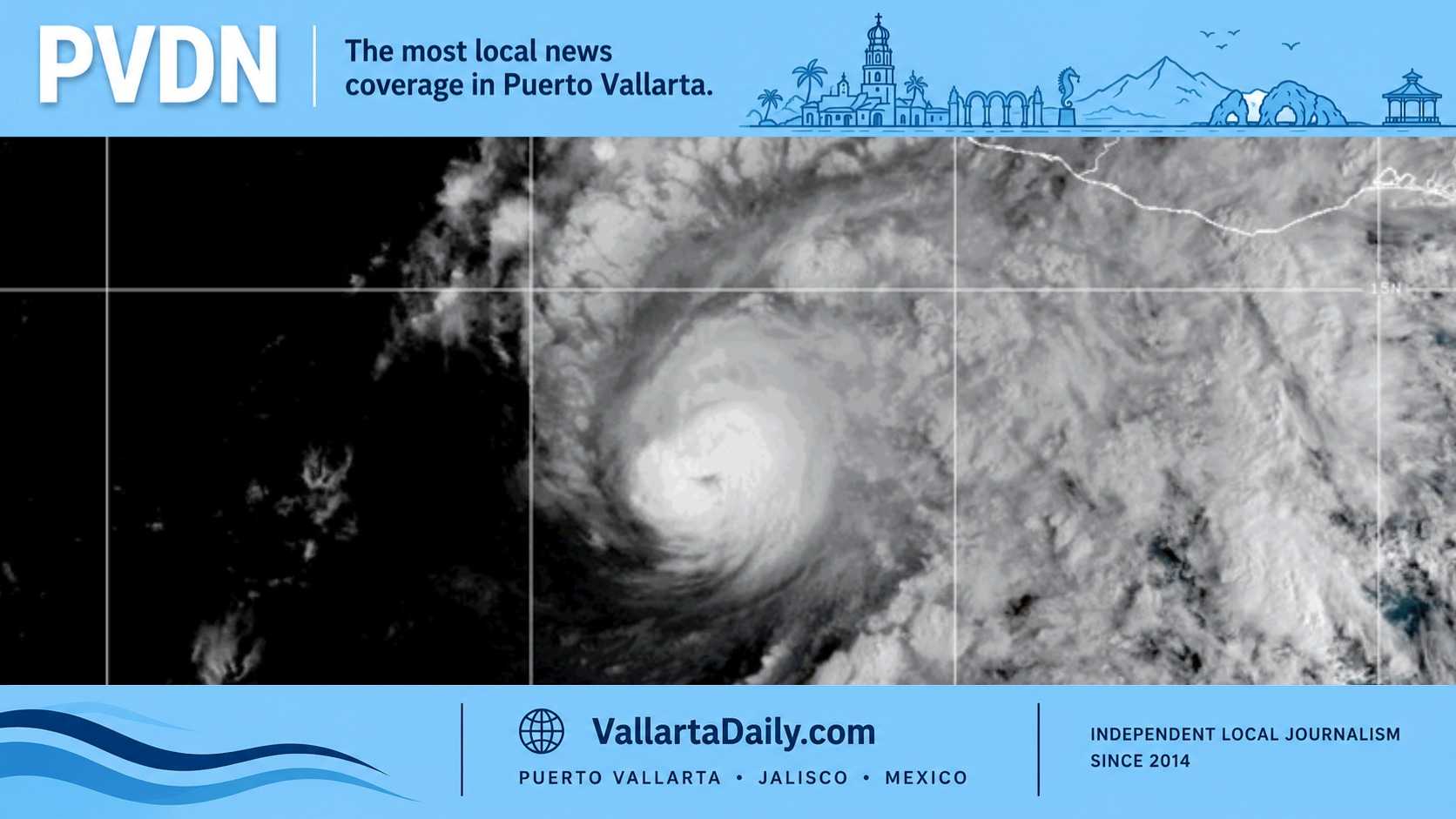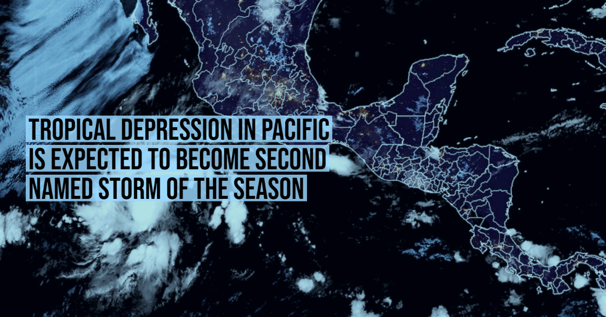
Tropical Depression “Two E” formed in the waters of the Pacific Ocean, and it is expected that in the next few hours it will intensify its strength and become the second named cyclone of the hurricane season: “Blanca”.
Through a statement, the National Meteorological Service (SMN) reported that the center of this system is located 760 kilometers south-southwest of Punta San Telmo, Michoacán. At 4:15 AM today, Monday, May 31, the tropical depression advanced at about 22 kilometers per hour (km / h) away from the Mexican coastline.
Although the system will gradually move into the sea, its wide circulation will affect the country.
Its cloud bands will increase the contributions of humidity that will reach Jalisco, Colima, Michoacán, and Guerrero, and that combined with atmospheric instability and a low-pressure channel “will cause showers and strong rains with lightning and possible hail fall in the west, with very strong rains in the State of Mexico ”.
According to the climate agency of the National Water Commission (Conagua), early this Monday the maximum sustained winds of the cyclone beat at 55 km / h . These are expected to increase in intensity in the morning and reach 65 km / h; at that time, the system would become “Blanca,” the second tropical storm of the Pacific Ocean hurricane season.
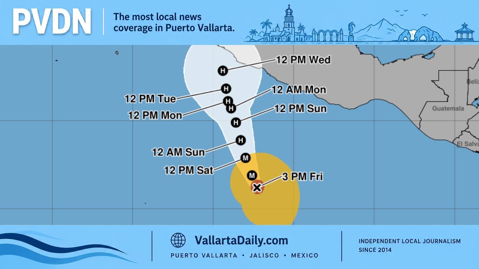
Trajectory of the Tropical Depression
If the forecasts of the meteorologists are correct, before noon “Two E” will become “Blanca”. According to the trajectory forecast, the storm will move parallel to the coasts of Mexico. It will move in a west-northwest direction, progressively moving away from the coast.
By 1:00 pm this Monday, “Blanca” will already be a tropical storm, with maximum sustained winds of 75 to 95 km / h. It will be found at 780 km / h southwest of Punta San Telmo, Michoacán.
The cyclone will strengthen rapidly and by early morning on Tuesday, June 1, its winds will reach speeds of 95 to 110 km / h. So, the vortex will be located about 815 kilometers southwest of Playa Pérula, Jalisco.
Although the system will strengthen rapidly in the next 24 hours, it is not expected to become a hurricane. For that, its sustained winds would have to exceed 118 km / h.
This year, the hurricane season in the Pacific began earlier than ever. Tropical storm Andrés formed on Sunday, May 9, off the coasts of Jalisco and Michoacán, and in doing so it broke a historical record as the earliest recorded named storm. The previous record had been set by Tropical Storm Adrián, which emerged on May 10, 2017.