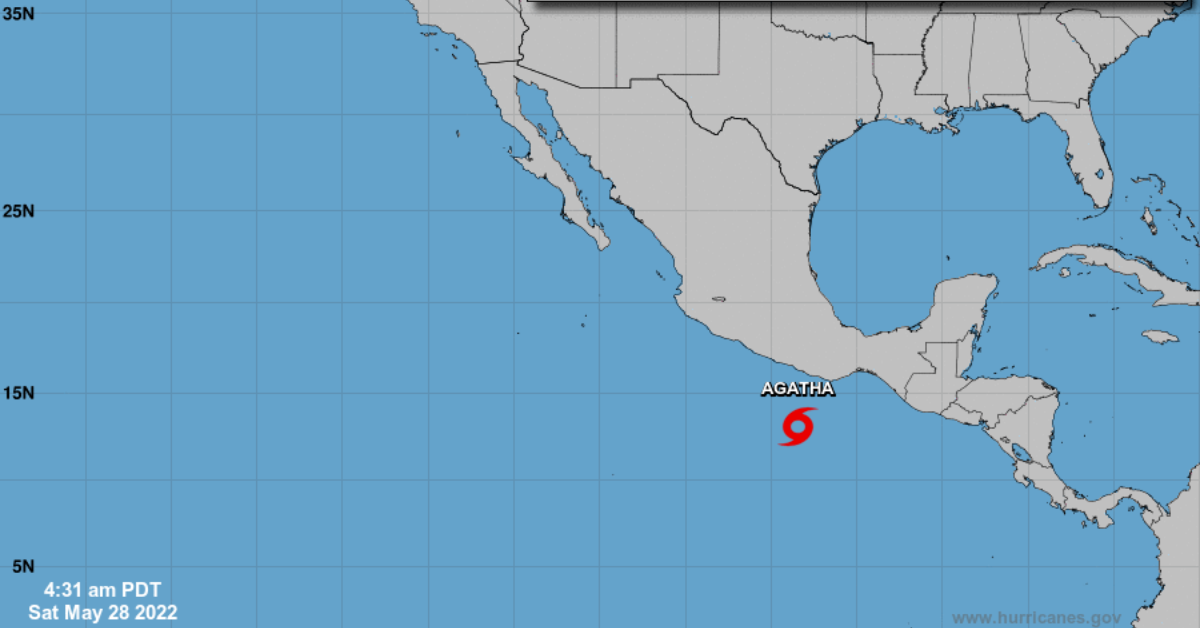
Tropical storm Agatha has become the first named storm of the 2022 Pacific hurricane season and will generate heavy rains in the south and southeast of the country this Saturday, May 28, especially on the coasts of Oaxaca and Guerrero.
Agatha is expected to strengthen into a hurricane within the next 24 hours and remain in the south of Mexico with a landfall in Oaxaca.
Strong winds with gusts of 60 to 70 km/h and waves of one to three meters high are forecast on the coast of Oaxaca. In addition, there will be . . .