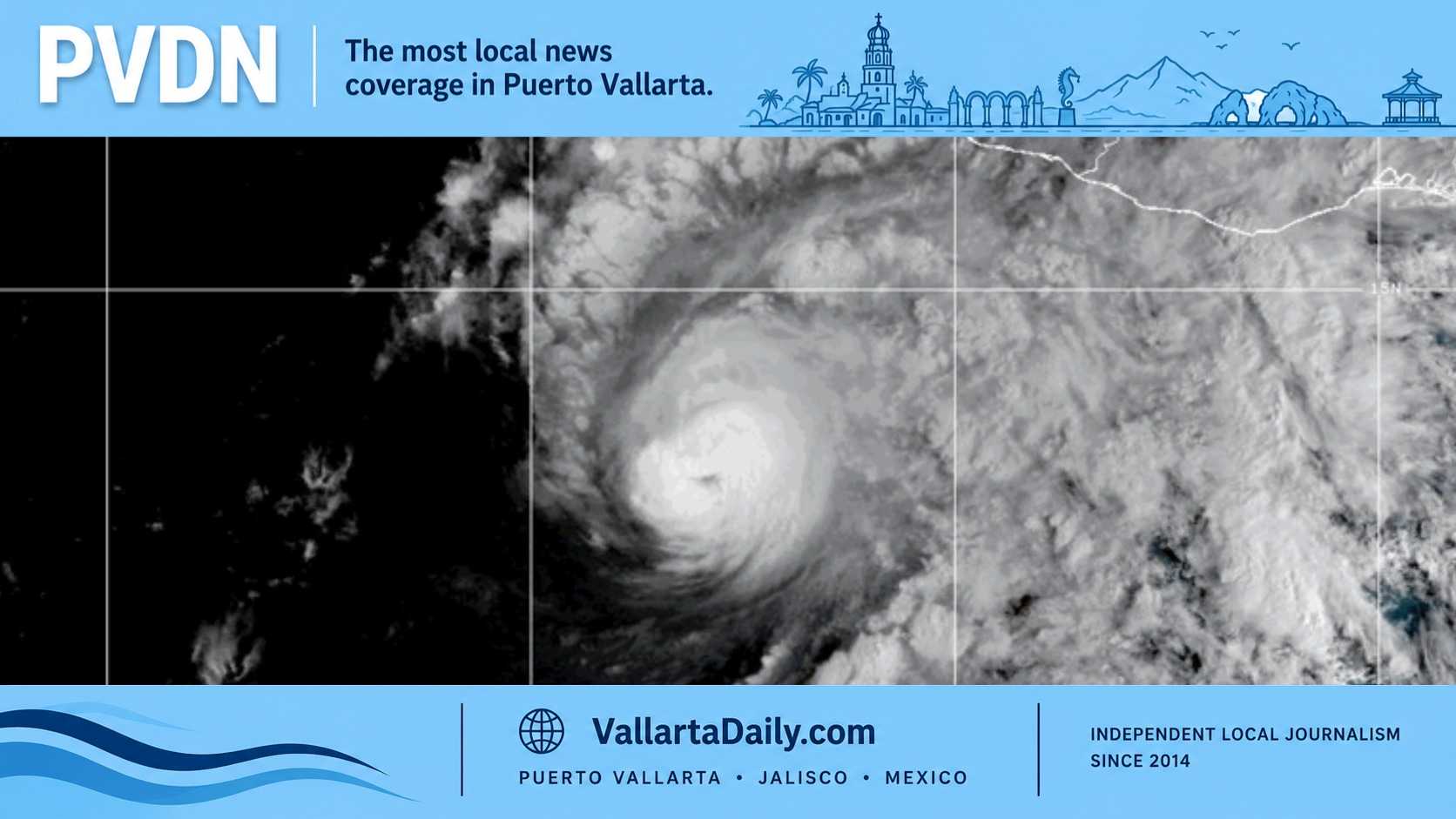
Puerto Vallarta, Jalisco, October 24, 2026 — Hurricane Vance weakened at 9 a.m. Saturday, but forecasters warned of heavy rain across western Jalisco through Thursday and possible coastal storm watches later today.
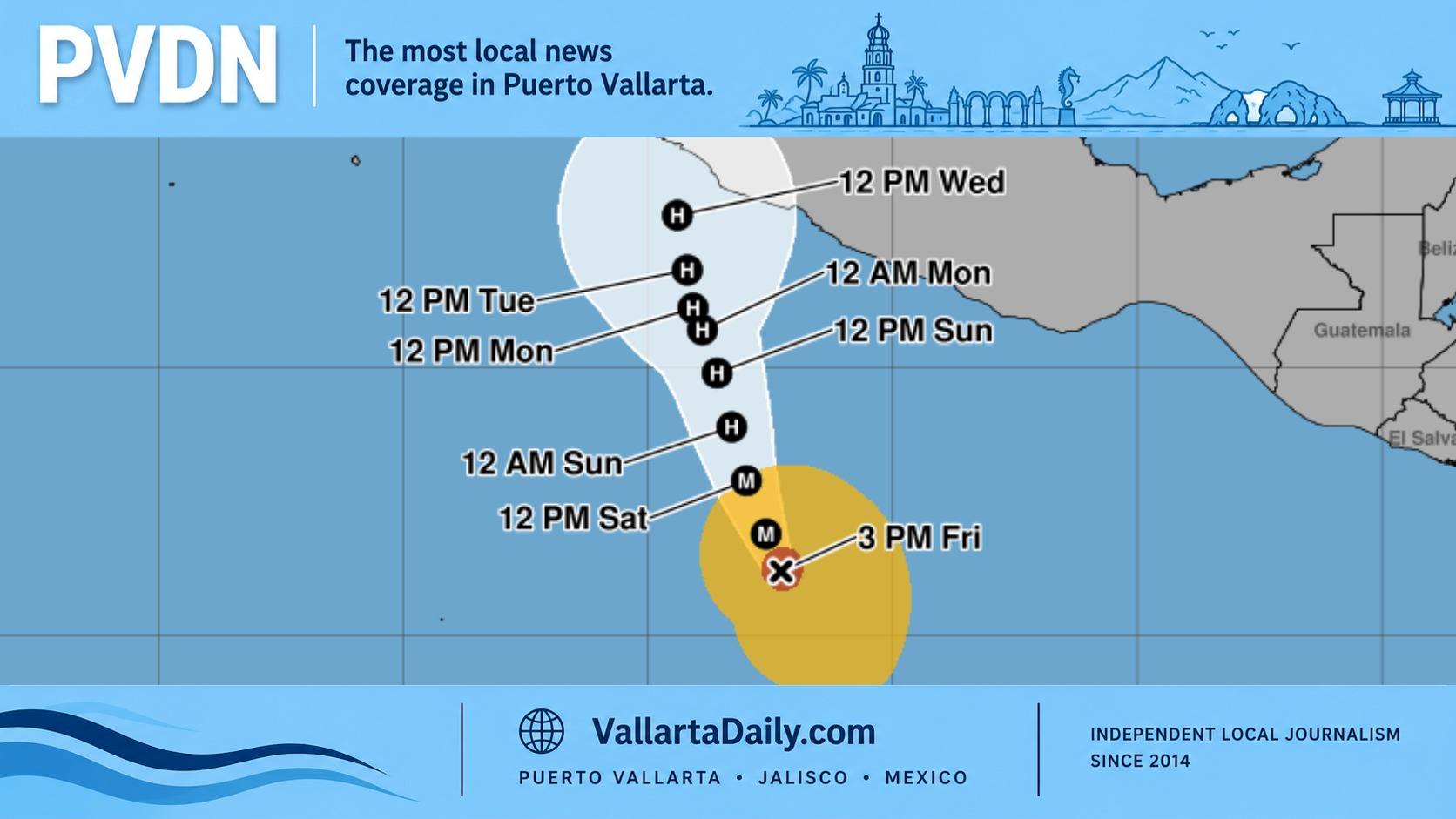
The National Hurricane Center’s latest advisory placed the Category 2 hurricane about 690 kilometers south-southeast of Manzanillo, with sustained winds of 165 km/h (105 mph). It was moving north-northwest at 9 km/h.
No coastal watches or warnings were in effect. The agency said: “A Tropical Storm Watch may be required for portions of the southwestern coast of Mexico later today or tonight.”
For Puerto Vallarta residents, the practical question is how Vance could affect the coming week. Rain and rough seas are already in the regional forecasts; the city’s eventual wind exposure remains uncertain.
Rain risk increases early next week
Through Thursday, October 29, the NHC forecasts 75–150 millimeters of rain, or 3–6 inches, across Colima and western portions of Michoacán and Jalisco. Isolated totals could reach about 250 millimeters, or 10 inches, with potentially deadly flooding and mudslides near steep terrain.
That is a regional forecast. The advisory does not assign a separate rainfall total to Puerto Vallarta.
Mexico’s Servicio Meteorológico Nacional, or SMN, gives a clearer indication of when rain could become heavier. Its Saturday morning forecast calls for pockets of 25–50 millimeters in western and southwestern Jalisco today.
The agency’s extended outlook, issued Friday afternoon, keeps rain in western and southern Jalisco on Sunday, then raises potential daily amounts to 50–75 millimeters in parts of the state on Monday and Tuesday.
For someone planning a drive along the coast or managing a home near a drainage channel, that timing gives a reason to prepare before Monday. The SMN warns that these storms can raise rivers and streams and flood low areas.
If water covers a road, the National Weather Service’s flood guidance is to turn back rather than drive or walk through it.
Weaker winds today do not settle next week’s forecast
Vance remains at Category 2 following Friday’s strengthening reported by Vallarta Daily. Its subsequent weakening may be temporary.
In the 9 a.m. NHC forecast discussion reproduced by Weather Underground, forecasters explain that cooler water and stronger winds aloft are disrupting the hurricane. Vance could regain strength after reaching warmer water closer to Mexico, beginning Sunday night or Monday.
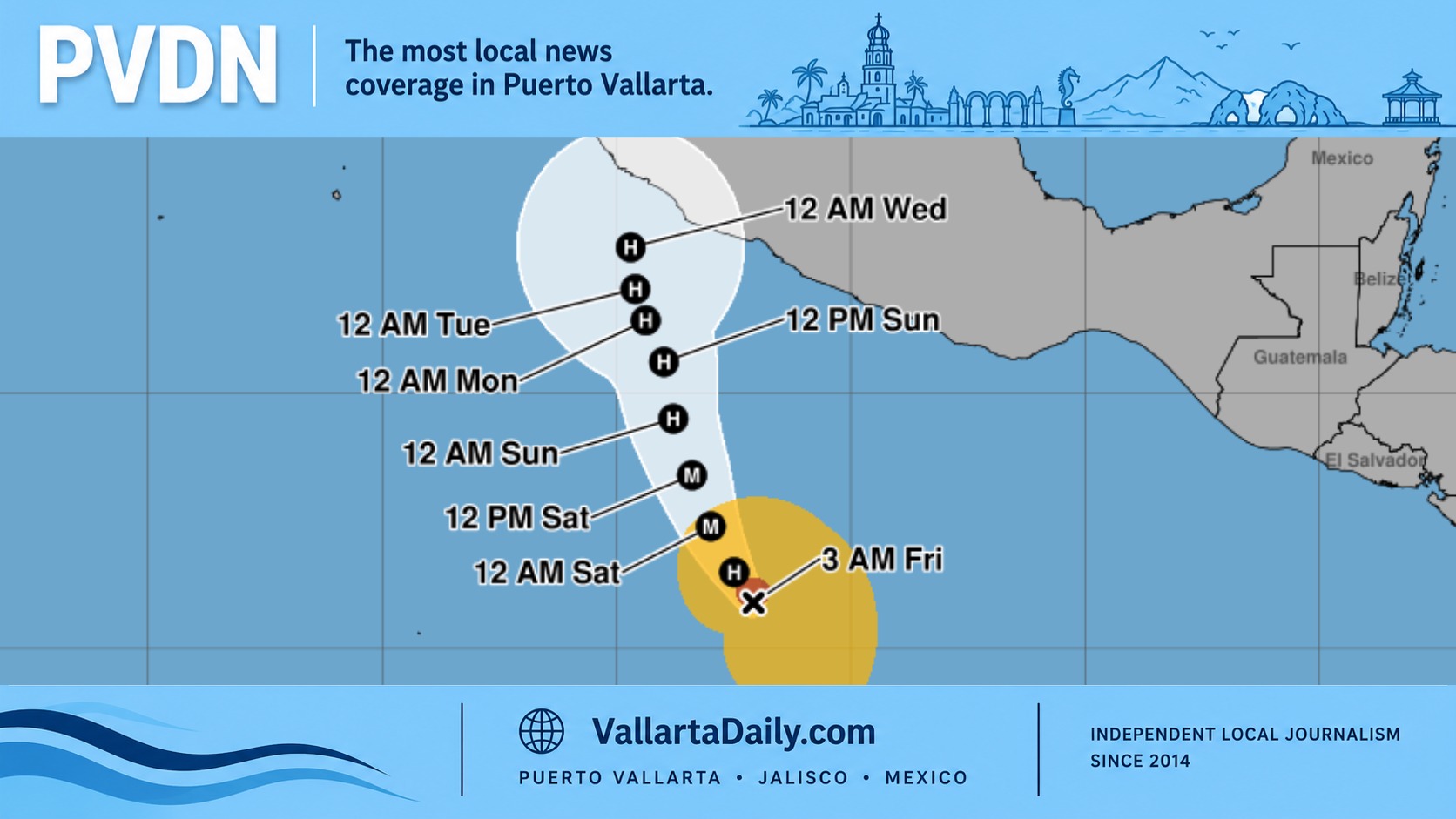
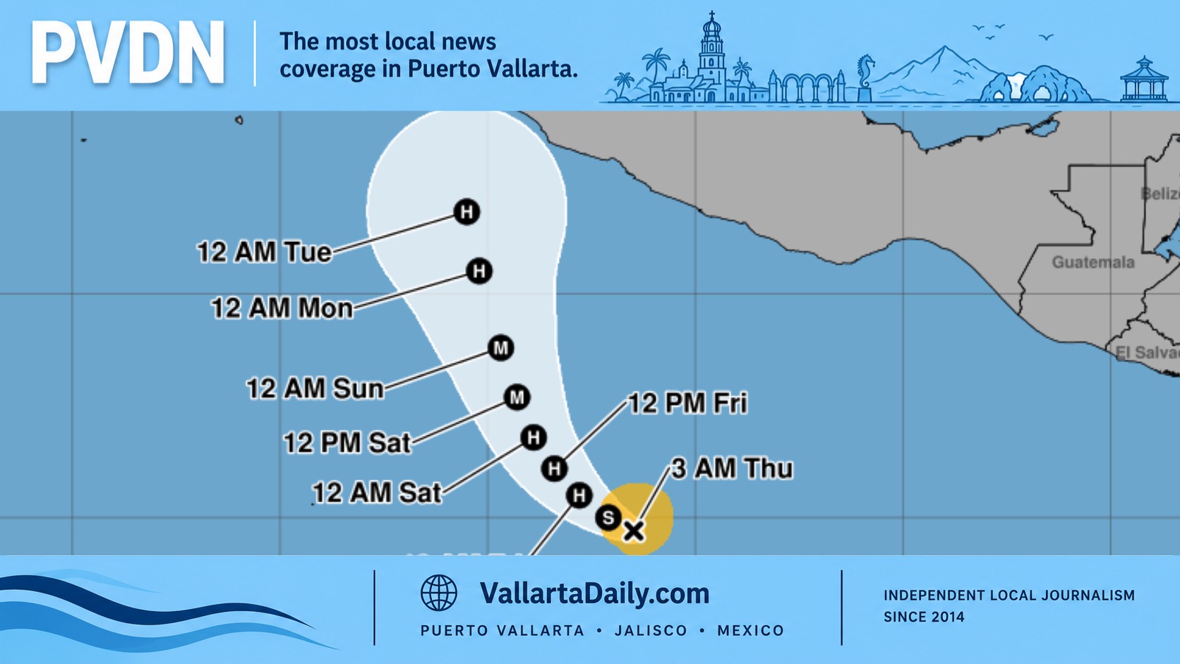
The official track takes the storm slowly north toward waters off Colima and southern Jalisco through Thursday, with weakening later in the period. Forecast strength and direction remain closely connected: a stronger, more organized storm could move farther north, while a weaker system could turn more toward the northwest.
The NHC says it is too early to determine coastal wind and storm-surge impacts. Its five-day wind-probability bulletin gives Manzanillo a 41% chance of sustained tropical-storm-force winds and Barra de Navidad a 14% chance. It does not provide a Puerto Vallarta figure in that location table.
Those probabilities describe winds of at least 63 km/h, not the chance of rain or flooding.
Beach and boat plans need daily checks
Vance’s swells are forecast to affect southern and southwestern Mexico this weekend and continue into next week, creating dangerous surf and rip currents.
The SMN’s extended outlook forecasts 2–3-meter waves along Jalisco’s coast Sunday, rising to 4–6 meters Monday. It also forecasts coastal gusts of 60–80 km/h Monday and Tuesday. These are coastwide projections, not measurements for individual beaches in Banderas Bay.
For a beach visit, check the flags and lifeguard instructions at that beach. The National Weather Service’s rip-current guidance cautions that sunny weather does not establish that swimming is safe. Anyone booking a boat trip should check the operator’s plans and port restrictions for the departure date.
Friday, October 30, and Saturday, October 31, fall beyond this advisory’s five-day track. Conditions for those days will need reassessment as the forecast advances.
The next complete NHC advisory is due at 3 p.m. Saturday. The immediate detail to watch is whether a tropical storm watch is issued and exactly which stretch of coast it covers.