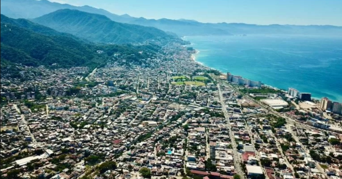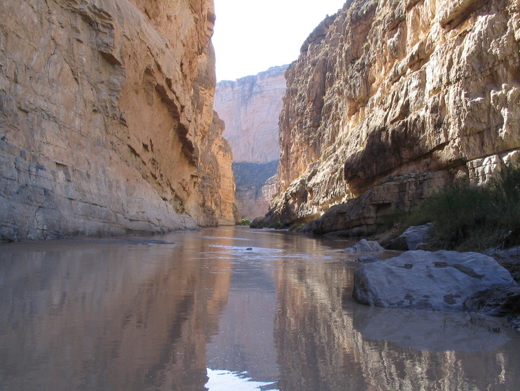
The United States and Mexico have shared their current international border for nearly 170 years. Today they cooperate at multiple levels on issues that affect the border region, although you would not know it from the divisive rhetoric that we hear in both countries. President Trump’s focus on building a border wall threatens to undermine many binational initiatives, as well as our shared natural environment.
As a scholar focusing on urban planning and design . . .