Puerto Vallarta, Mexico – Mexico’s National Meteorological Service (SMN) has confirmed that Hurricane John has strengthened to a Category 2 hurricane, currently situated off the coasts of Guerrero and Oaxaca. As it progresses, the storm is expected to bring extreme weather conditions, including heavy rainfall, high winds, and significant coastal surges. The SMN has issued warnings for residents in the south and southeast of Mexico, urging them to take precautions against potential flooding and damage from the storm.
Hurricane John’s Path and Current Status
As of the latest reports, Hurricane John is approximately 90 kilometers (km) south of Punta Maldonado, Guerrero, and 155 km west-southwest of Puerto Escondido, Oaxaca. The storm is currently moving north at a speed of 9 km/h, with maximum sustained winds of 155 km/h and gusts reaching 195 km/h.
If the hurricane maintains its trajectory, it is expected to make landfall between Santiago Pinotepa Nacional in Oaxaca and Copala in Guerrero late Monday night or early Tuesday morning, between 9 p.m. and 1 a.m.
Rainfall and Weather Conditions
The hurricane’s extensive cloud bands are expected to generate extraordinary rainfall exceeding 250 millimeters (mm) in Oaxaca and Guerrero. Additionally, torrential rains (150 to 250 mm) are forecast for Chiapas, while intense rainfall (75 to 150 mm) is expected in Veracruz and Puebla. Other affected regions include Michoacán, Morelos, and Tabasco, which will see very strong rainfall (50 to 75 mm), while the State of Mexico can expect heavy rainfall (25 to 50 mm).
Coastal Winds and Surges
Strong winds with gusts of 100 to 120 km/h are predicted along the coast of Oaxaca, accompanied by waves between 3 and 5 meters high. Guerrero and Chiapas can expect gusts of 40 to 60 km/h, with waves ranging from 1 to 3 meters. The risk of waterspouts is also elevated along the coasts of these states.
Warnings and Preventive Measures
The SMN, in coordination with Mexico’s National Water Commission (Conagua) and the U.S. National Hurricane Center, has issued a hurricane warning zone from Punta Maldonado, Guerrero, to Bahías de Huatulco, Oaxaca. In addition, a tropical storm warning has been established from the east of Bahías de Huatulco to Salina Cruz, Oaxaca, and from the west of Punta Maldonado to Acapulco, Guerrero. Residents in these areas are urged to follow evacuation orders and safety guidelines issued by local authorities.
Impacts on Other Regions
While southern Mexico braces for the worst of Hurricane John, other areas of the country are also facing significant weather events. In the western Caribbean, potential Tropical Cyclone Nine is approaching the coast of Quintana Roo, threatening heavy rains and winds of up to 60 km/h across the Yucatán Peninsula, including Campeche, Yucatán, and Quintana Roo.
Meanwhile, Cold Front No. 3 is sweeping across Mexico’s northern border, bringing strong winds, dust storms, and potential hail to the northern and northeastern parts of the country. This cold front, in combination with a low-pressure system and incoming humidity from the Pacific Ocean and the Gulf of Mexico, is expected to produce heavy rainfall with electrical storms and wind gusts in central and western Mexico.
Preparedness and Government Response
Federal, state, and local authorities are working together to ensure the safety of residents in the affected regions. Civil protection teams have been deployed to monitor vulnerable areas, especially in regions prone to landslides and flash floods. Evacuation centers have been prepared, and the public is being encouraged to remain vigilant, stay informed of weather updates, and follow official advisories.
Travelers in the affected regions should also exercise caution. Airports and major transportation hubs may face delays or cancellations due to the extreme weather. Those in coastal areas should avoid beach activities and secure their properties against potential flooding and wind damage.
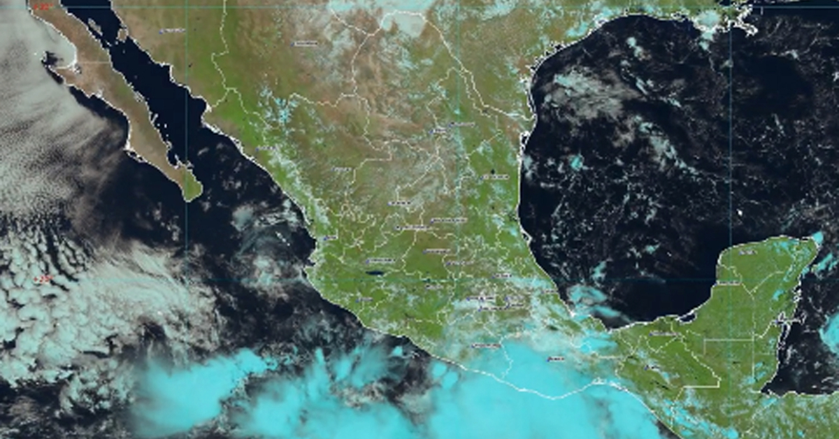
Puerto Vallarta, Mexico - Mexico's National Meteorological Service (SMN) has confirmed that Hurricane John has strengthened to a Category 2 hurricane, currently situated off the coasts of Guerrero and Oaxaca. As it progresses, the storm is expected to bring extreme weather conditions, including heavy rainfall, high winds, and significant coastal surges. The SMN has issued warnings for residents in the south and southeast of Mexico, urging them to take precautions against potential flooding and damage from the storm.