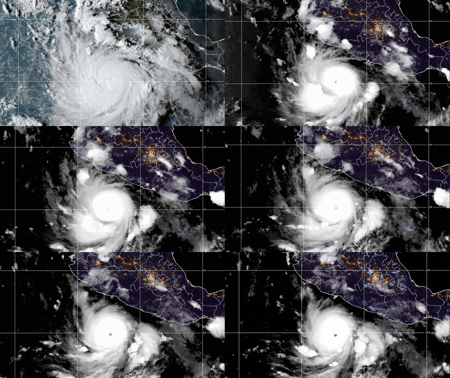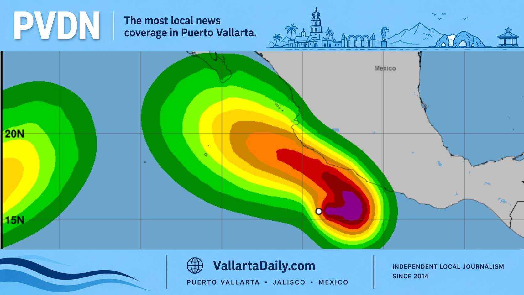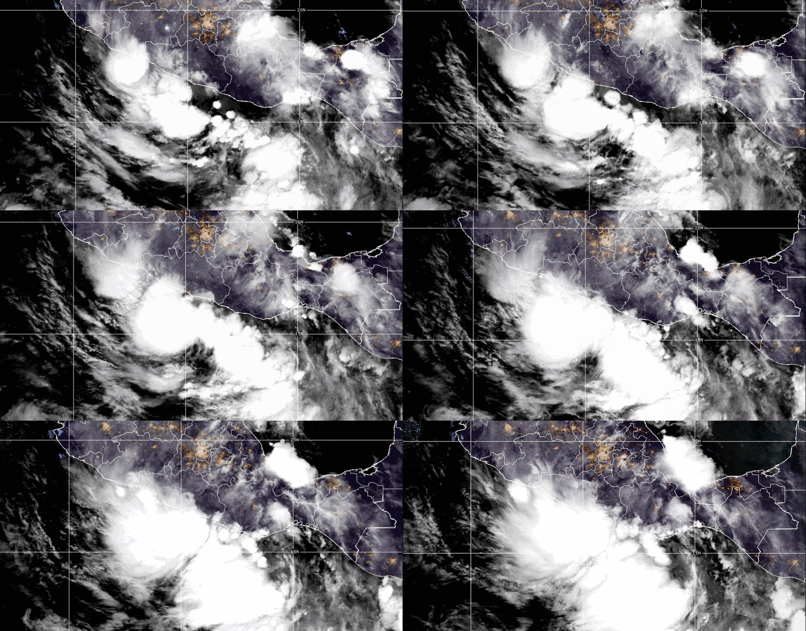
Boris is moving slowly just off Mexico’s southern Pacific coast, and that slow crawl is what forecasters are watching most closely. The warning zone now stretches from Oaxaca into Guerrero, where heavy rain, steep terrain, and rivers running down from the mountains could quickly change the picture. The storm is not expected to last long over land, but the rain forecast is doing the real work in the alerts, especially along the coast through Monday night.
Boris Is Crawling Toward Guerrero With Flood Threat
Tropical Storm Boris formed close to Mexico’s southern Pacific coast Monday morning and began crawling toward Guerrero. It put the coast from Laguna de Chacahua, Oaxaca, to Tecpan de Galeana, Guerrero, under a <strong>tropical storm warning.
The National Hurricane Center advisor placed Boris near 15.9 degrees north and 99.2 degrees west at 6 a.m. CST. That was about 85 miles southeast of Acapulco and 50 miles southwest of Punta Maldonado. The storm had maximum sustained winds near 40 mph, with higher gusts, and was moving northeast at just 2 mph.
That slow movement is part of the concern. Boris is not a large storm, and forecasters do not expect it to become a hurricane before landfall. The bigger risk is that it can sit close enough to shore to keep pushing rain into steep terrain already set up for runoff.
The warning area means tropical storm conditions are expected somewhere along that coastal strip within 24 hours. The hurricane center said Boris should turn north later Monday. A turn toward the northwest is expected Monday night. The center is forecast to reach the Guerrero coast by evening.
The storm does not have much time over water. Some slight strengthening is possible today, then the system should weaken quickly after its center reaches land. Boris is forecast to dissipate inland over Mexico by Tuesday.
Rain is the sharper threat
The official rain forecast is blunt. Boris is expected to produce 4 to 10 inches of rain across coastal Guerrero and Oaxaca through Monday night, with isolated totals of 12 inches possible.
The hurricane center warned that “This rainfall may produce life-threatening flooding and mudslides, especially in areas of steep terrain.” The storm rainfall graphic shows the heaviest focus along the southern Pacific coast. In this part of Mexico, beach towns, rivers, and mountains sit close together, so heavy rain can turn into a fast-moving problem.
Mexico’s weather service was also warning of heavy accumulations over several Pacific states. A Conagua and SMN bulletin said the system intensified into Tropical Storm Boris early Monday. It forecast torrential rain in parts of Guerrero and heavy rain in Michoacán and Oaxaca.
In a Sunday briefing, SMN coordinator Fabián Vázquez Romaña said the storm was carrying a “large supply of water vapor and humidity.” He warned that the rain would not stay limited to the Guerrero and Oaxaca coast.
He also said the system’s main danger was rainfall, not wind. “The main threat from this event will be the amount of rain expected to fall in the next 48 hours.,” Vázquez Romaña said. Guerrero could receive an amount in two days that rivals or exceeds its normal June rainfall, he added.
That kind of rain puts river levels, low crossings, and hillsides in the spotlight. The risk is not only coastal wind. It is water moving downhill, sometimes well after the worst rain band has passed.
Federal response moves into prevention mode
The federal government urged preventive measures along the Pacific coast as Boris approached land. A government prevention bulletin said authorities were coordinating through Conagua, the National Civil Protection Coordination, and state officials.
The advisory followed the activation of emergency plans in the southern Pacific states, with federal forces placed in prevention mode. Guerrero also suspended school activities on Monday in several regions because of the storm risk, according to state education notices shared by Mexican authorities and cited in local storm updates.
Along the coast, the wind field remains compact. Tropical storm force winds extend up to 35 miles from the center, according to the hurricane center. That keeps the strongest wind threat closer to the warning area, while the rain shield reaches farther.
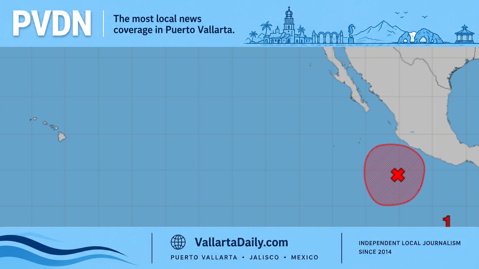
Puerto Vallarta is outside the tropical storm warning zone. Still, Boris belongs to a busy early-season Pacific pattern, with forecasters watching more than one system off Mexico’s coast in recent days. An earlier Pacific storm watch examined how southern Mexico’s developing systems could affect weather farther up the coast. The broader 2026 Pacific hurricane season outlook noted the basin opened with conditions that could support an active season.
Boris is the second named storm of the 2026 Eastern Pacific season, after Amanda. The season began May 15 and runs through November 30. The Atlantic season began June 1. As of Monday morning, there were no tropical cyclones in that basin.
Forecasters expect the next full Boris advisory at 9 a.m. CST. The storm’s future track is short, but the rain risk is not. Emergency officials are asking people in affected areas to follow local civil protection notices, avoid swollen streams, and stay away from unstable slopes.