This Friday, much of Mexico is under a dual alert of heavy rains and extreme heat in Mexico, with meteorological systems colliding to produce intense downpours, possible hail, scorching temperatures, strong winds and choppy seas. The combination raises risks of flooding, landslides, falling trees and localized storm damage across wide swaths of the country. Authorities are urging people to stay informed and take precautions, especially in areas forecast to receive the most severe conditions.
The Mexican monsoon remains a central driver of instability in the northwest and west, and is joining forces with an upper-level cyclonic circulation over Nayarit to feed heavy rains with electrical activity in Baja California Sur, Sonora, Chihuahua, Durango and Sinaloa, while the state of Nayarit faces particularly intense rainfall. Simultaneously, a series of low-pressure channels and a high-altitude trough over the Northern Tableland, together with tropical wave number 17 crossing western Mexico, are delivering additional rain and showers across northern and northeastern states.
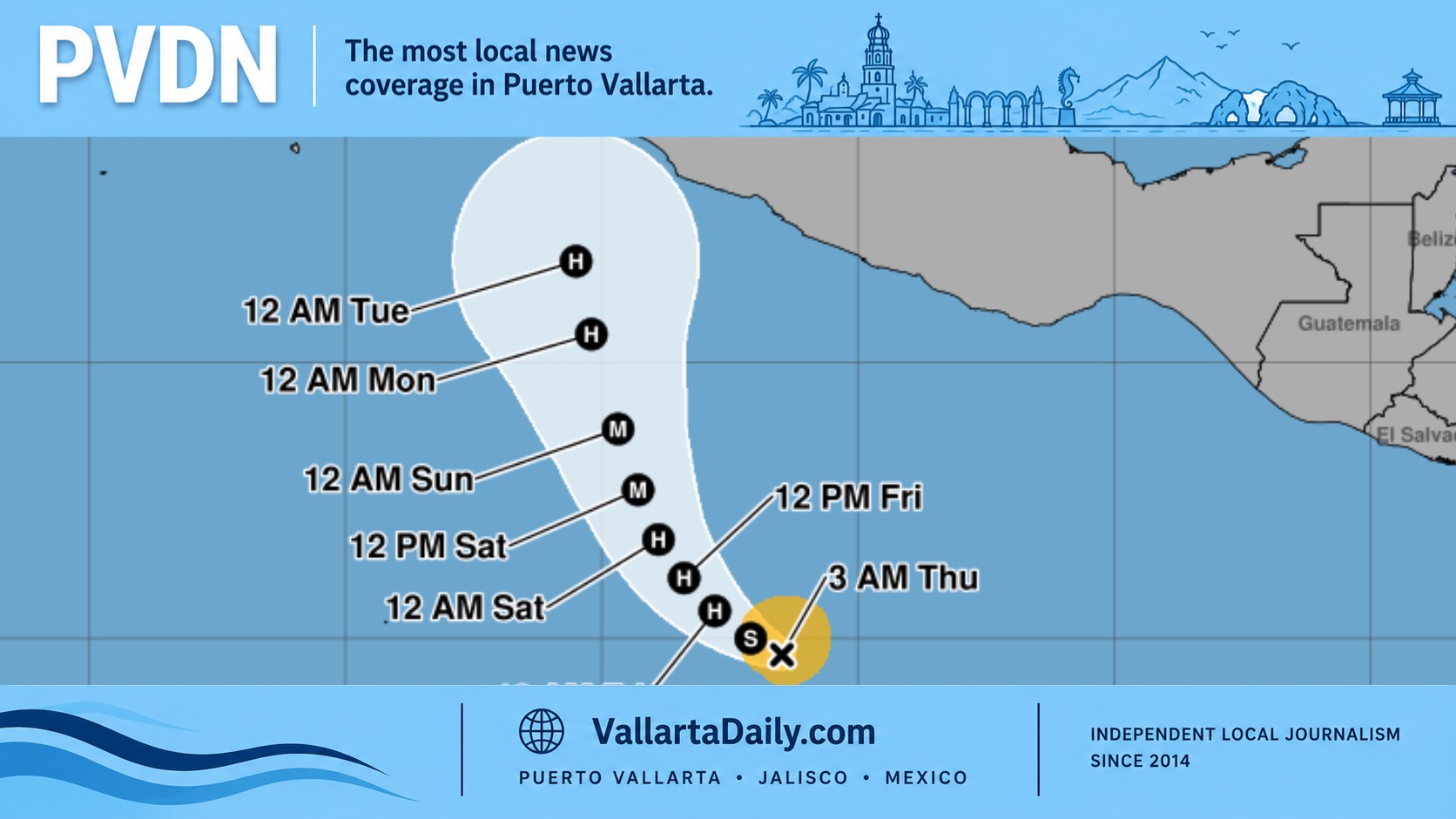
In southern and eastern Mexico, the pattern deepens. Tropical wave 18 advancing over the Gulf of Tehuantepec, in combination with another low-pressure channel in the southeast, will produce very heavy rains with lightning and possible hail, especially in Oaxaca, Chiapas, Tabasco and the Yucatán Peninsula. The Valley of Mexico is not immune: afternoon storms with heavy rain, thunderstorms and the chance of hail are forecast for Mexico City and the State of Mexico, where temperatures in the capital are expected to fluctuate between 13 and 24°C.
Heavy rains and extreme heat in Mexico
The worst rainfall accumulations are projected in the Pacific western corridor. Nayarit, Jalisco, Colima and Michoacán are forecast to receive between 75 and 150 millimeters, elevating the risk of flash flooding and slope failures. States including Sinaloa, Guerrero, Oaxaca, Chiapas and Veracruz should expect 50 to 75 millimeters, while parts of Guanajuato, Querétaro, Puebla, Tabasco and the entire Yucatán Peninsula are likely to see 25 to 50 millimeters. Isolated showers will also reach parts of Chihuahua, Coahuila, Nuevo León, San Luis Potosí and Durango.
The rainfall threat overlaps with an active heat wave farther north and along coastal belts. Temperatures above 45°C are expected in northeastern Baja California and northwestern Sonora, with readings of 40 to 45°C forecast in Baja California Sur, Sinaloa, Chihuahua, Nuevo León and Tamaulipas. At least 16 other states—including Colima, Michoacán, Guerrero, Oaxaca, Chiapas and Tabasco—will see highs between 35 and 40°C, keeping the heat wave in place for the next several hours. The concurrent heat and moisture increase both health risks (heat stress, dehydration) and the potential for energetic storm development.
In contrast to the heat on the plains and coasts, cold conditions persist in mountainous regions. Early morning low temperatures of 0 to 5°C are expected in high-altitude zones of Durango, Chihuahua, the State of Mexico, Puebla and Veracruz, which could catch unprepared residents off-guard. Strong winds will accompany the setup: gusts up to 70 km/h are likely in Oaxaca—especially over the Isthmus and the Gulf of Tehuantepec—while winds of 40 to 60 km/h are forecast in about 20 other states. Marine conditions will deteriorate along the Pacific: waves between 1 and 3 meters are predicted, with the highest swells off the coasts of Oaxaca and Chiapas.
Authorities with the national weather service and emergency management agencies are warning residents and travelers to monitor updates, avoid river crossings during heavy rain, secure loose objects that could be blown by gusts, and be cautious in steep or erosion-prone terrain where landslides are more likely. Urban areas should prepare for sudden street flooding, and high-elevation communities need to guard against the combined cold and wet stress on infrastructure.
Local officials in the hardest hit states—Jalisco, Colima and Michoacán—are on alert for urban runoff and rural road washouts as intense rainfall interacts with already saturated soils. In the Valley of Mexico, the timing of afternoon storms heightens the risk of traffic disruption and localized flooding during evening commutes in Mexico City and surrounding municipalities.
Residents along the western and southern Pacific coastlines should also heed marine advisories. Elevated seas combine with strong onshore winds to threaten small craft and coastal activities. Beachgoers, fishermen and transport operators are being advised to delay nonessential trips until conditions stabilize.
As the day progresses, the interplay of heavy rains and extreme heat in Mexico will remain dynamic—storms can intensify quickly in humid, hot air masses while the same regions may see abrupt temperature contrasts in higher elevations. Staying updated via official meteorological channels and avoiding unnecessary exposure during peak heat or storm windows is the most effective way to mitigate risk.