Hurricane Narda forecast: Mexico’s Pacific coast woke to a wet, windy Tuesday as Narda intensified offshore and pushed belts of heavy rain into Jalisco, Colima, and Michoacán. Forecasters said the storm would track west and gradually move away from land, but its bands were already driving dangerous surf, lightning, and quickly rising streams. Port authorities in Manzanillo restricted navigation for smaller craft as waves built along the coast. With soils saturated in places after recent systems, local officials warned of flash floods and landslides, and urged residents to avoid river crossings after dark.
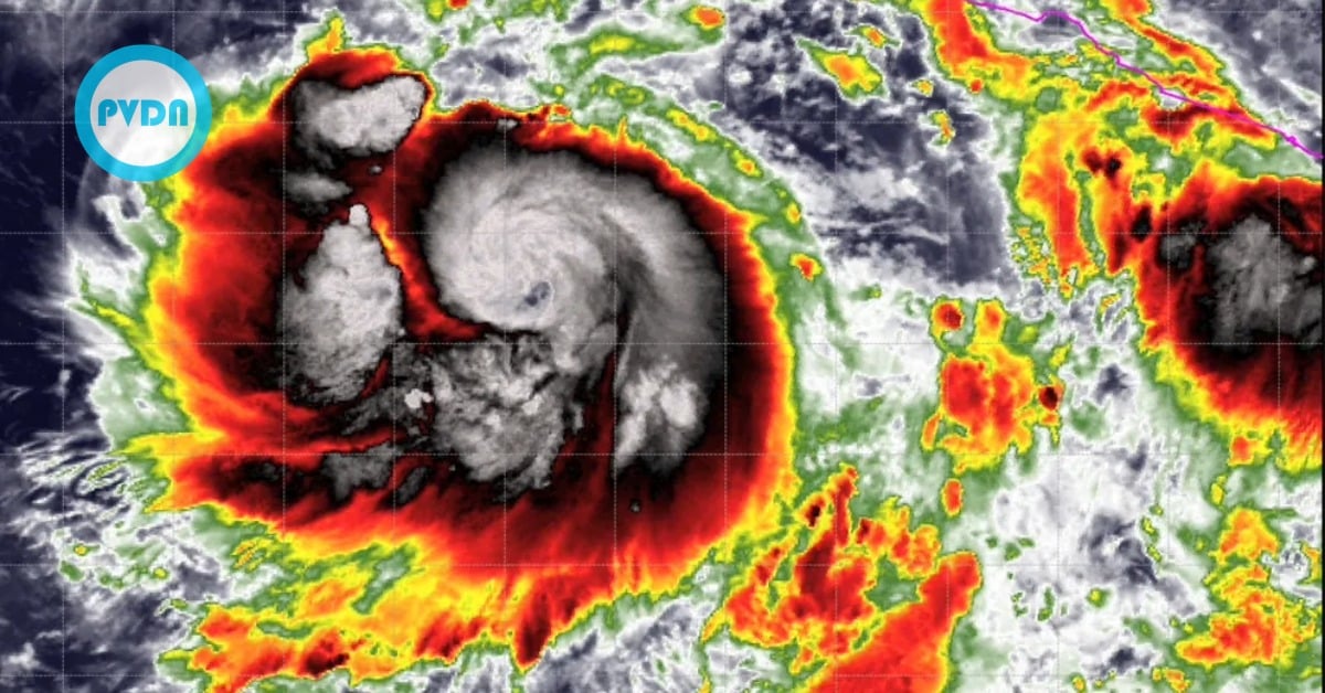
The National Water Commission’s Meteorological Service reported early Tuesday that Narda, spinning off the Pacific coast near Colima, Jalisco, and Michoacán, is intensifying and sending thick rainbands ashore. Officials projected hefty rainfall of 50 to 75 millimeters for the three states, with embedded lightning and hail in the most vigorous cells. Those downpours will cut visibility on highways and can trigger flash flooding, landslides, and sudden rises in rivers and streams.
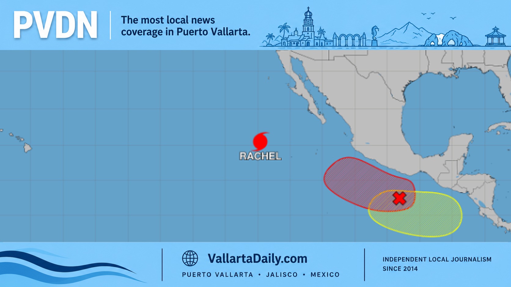
As of Tuesday morning, U.S. National Hurricane Center products still listed Narda as a tropical storm, tracking generally west and west-northwest over warm water, keeping the core offshore. Forecasters signaled additional strengthening through the day as the cyclone pulls away from the mainland. Mexican outlets echoed the same track message: stronger at sea, rain onshore. It’s a frustrating setup for coastal towns—no landfall, yet plenty of impacts.
Along the coast, authorities issued warnings about high surf and dangerous rip currents. Forecast guidance called for 2.5- to 3.5-meter seas with gusty squalls, especially near convective bursts. In Colima, the Manzanillo harbor master restricted small-craft navigation. He paused nautical tourism as conditions deteriorated Monday evening, a move that often ripples through fishing cooperatives and day-tour operators. If you live near open beaches or river mouths, keep a distance from the waterline; sneaker waves can catch you off guard.
What today looks like on the ground
From Barra de Navidad to Lázaro Cárdenas, residents woke to bands of rain sweeping in from the Pacific, followed by brief lulls and then more squalls. Drivers reported ponding in low spots on the coastal highway and debris washing off the hills. Civil Protection teams asked people in slope-side colonias and along arroyos to stay alert for new cracks in the soil, muddy water turning suddenly, or the rumble of rocks—classic signs a hillside is letting go. The advice is straightforward: delay non-essential trips, avoid crossing flowing water, and check in on neighbors who may need assistance.
Meteorologists stressed that the center of Narda should remain offshore while the weather reaches well inland. That’s why you can see blue sky in one moment and a white-out the next. The system’s gradual westward jog is good news for limiting direct wind damage on land, but it does little to reduce the risk of rain and surf in the short term. If you must travel, plan for detours around flooded underpasses and low bridges, especially after sunset when water depth is hard to judge.
Where Narda is headed next
Model guidance and official outlooks indicate continued strengthening over open water as Narda moves farther from the coast. Mexico’s meteorological service and several major outlets noted the potential for Category 1—and even a Category 2—intensity over the next 24–36 hours, while keeping the track away from the mainland. That means the worst winds should stay at sea, but peripheral impacts—rain cores, lightning, strong gusts, and the long-period swell—will linger into midweek for Jalisco, Colima, and Michoacán. Expect the surf to take longer to calm down than the rain.
For now, the practical checklist is local and straightforward: secure loose items on terraces and rooftops, clear drains at street level, and give yourself extra time if you work on the waterfront. Keep a battery pack charged in case of brief outages and save the number of your municipal Civil Protection office. Above all, keep your information to official feeds; storms evolve by the hour, and the Hurricane Narda forecast will be updated throughout the day by SMN/Conagua and the NHC.