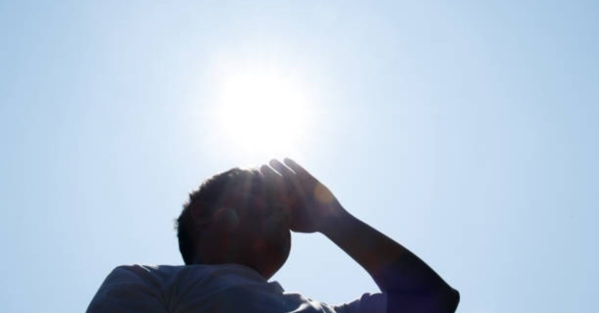
Mexico’s heat wave is expected to continue Tuesday across much of the country, keeping afternoon temperatures in dangerous territory in several states while storms and strong winds remain possible in parts of the northeast.
The National Meteorological Service said a mid-level anticyclone will remain over Mexican territory, helping maintain hot to extremely hot conditions in large parts of the country. The strongest heat is forecast for northwestern Durango and central Sinaloa, where temperatures could exceed 45°C.
Temperatures between 40°C and 45°C are expected in parts of Chihuahua, Nayarit, Jalisco, Michoacán, Guerrero, Oaxaca, Chiapas, Coahuila, Tamaulipas, San Luis Potosí, Guanajuato, Querétaro, Hidalgo, Puebla, Veracruz, Campeche, and Yucatán.
For readers used to Fahrenheit, 40°C is about 104°F. A temperature of 45°C is about 113°F. These readings are not just uncomfortable. They can become dangerous, especially for older adults, young children, people with chronic health conditions, outdoor workers, and pets.
Where the heat wave will continue
The forecast says the heat wave will continue Tuesday in portions of Chihuahua, Coahuila, Nuevo León, Tamaulipas, San Luis Potosí, Aguascalientes, Zacatecas, Durango, Sinaloa, Nayarit, Jalisco, Colima, Michoacán, Guerrero, Morelos, Mexico City, the State of Mexico, Guanajuato, Querétaro, Hidalgo, Tlaxcala, Puebla, Veracruz, Oaxaca, and Chiapas.
The same advisory says the heat wave will end Tuesday in Tabasco, Campeche, Yucatán, and Quintana Roo. Even so, the Yucatán Peninsula is still expected to see hot-to-very hot conditions during the afternoon.
That distinction matters for residents and visitors. An official end to the heat wave does not mean cool weather returns immediately. It means the specific heat-wave conditions identified by the weather service are expected to ease in those areas.
In Mexico City, the forecast calls for partly cloudy to mostly clear skies, no rain, and a high between 31°C and 33°C. Toluca is expected to be cooler, with a high between 26°C and 28°C.
Storms, hail and possible tornado risk in the northeast
While much of Mexico faces heat, parts of the northeast are expected to see a different risk. A dry line and the subtropical jet stream are forecast to bring showers and strong wind gusts to Nuevo León, Tamaulipas, and San Luis Potosí.
The advisory also mentions a chance of tornado formation in northern Coahuila. Wind gusts could reach 40 to 60 km/h in several northern states, with dust devils possible in Sonora, Chihuahua, and Durango.
For tonight and early Tuesday morning, the same weather pattern could bring showers, thunderstorms, and possible hail to areas of Coahuila, Nuevo León, Tamaulipas, and San Luis Potosí. Gusts may be strong enough to knock down trees or billboards in exposed areas.
This is the kind of forecast that can change quickly at the local level. People in affected areas should monitor official updates, especially if traveling by highway or staying in rural or open areas where storms and wind can become more dangerous.
Rain chances remain limited
Rain is not expected to bring broad relief from the heat. The forecast calls for periods of showers of 5 to 25 millimeters in Coahuila, Nuevo León, Tamaulipas, San Luis Potosí, Michoacán, and the State of Mexico.
Isolated rain of 0.1 to 5 millimeters is forecast for parts of Guanajuato, Querétaro, Hidalgo, Guerrero, Oaxaca, and Chiapas.
In central, southern, and southeastern Mexico, a low-pressure trough and moist air may create scattered showers and thunderstorms. These storms could include lightning, though most of the country is expected to remain under stable and hot conditions.
What this means for daily life
For expats, visitors, and residents across Mexico, the main issue on Tuesday is planning around the heat. Midday errands, outdoor exercise, long walks, and travel without shade or water can become risky when temperatures climb above 40°C.
The safest approach is to treat the afternoon heat as a serious weather hazard. People should drink water before they feel thirsty, avoid long exposure during the hottest hours, and check on older neighbors or relatives who may not use air conditioning.
Pets also need extra care. Dogs should not be walked on hot pavement during peak heat, and animals should never be left in parked cars. Even a short stop can become dangerous when the outside temperature is this high.
The heat can also affect daily routines in less obvious ways. Power demand may rise as more people use fans and air conditioning. Outdoor workers may need more breaks. Travelers may need extra time if storms, dust, or wind affect roads in northern Mexico.
Why the heat is lasting
The forecast points to an anticyclone in the middle levels of the atmosphere. In simple terms, this kind of system can help keep the weather stable and limit cloud formation. That allows sunshine and heat to build during the day.
This pattern can also reduce the chance of widespread rain, which is one reason many states remain hot even while scattered storms form in other regions.
Heat waves in Mexico can be especially difficult because the country’s geography creates major regional differences. A single national forecast can include extreme heat in the Pacific and northern states, cool dawn temperatures in mountain areas, and storm risks in the northeast.
For Tuesday morning, some mountainous areas of Baja California, Sonora, Chihuahua, and Durango could still see minimum temperatures between -5°C and 0°C with frost. Mountain areas in the State of Mexico and Puebla could see minimum temperatures between 0°C and 5°C.
That contrast shows why local forecasts matter. A national heat wave does not mean every place is hot at every hour, but it does mean much of the country faces elevated heat risk during the afternoon.
The bottom line for Tuesday
Tuesday’s forecast keeps extreme heat as the main national weather story, with the highest temperatures expected in Durango and Sinaloa. Large parts of western, southern, central, and northern Mexico will remain hot to very hot.
At the same time, the northeast faces storm-related risks, including showers, hail, strong winds, and a possible tornado risk in northern Coahuila.
For most people, the practical advice is simple: avoid unnecessary afternoon exposure, stay hydrated, keep pets and vulnerable people cool, and follow official weather updates if traveling through storm-prone areas.