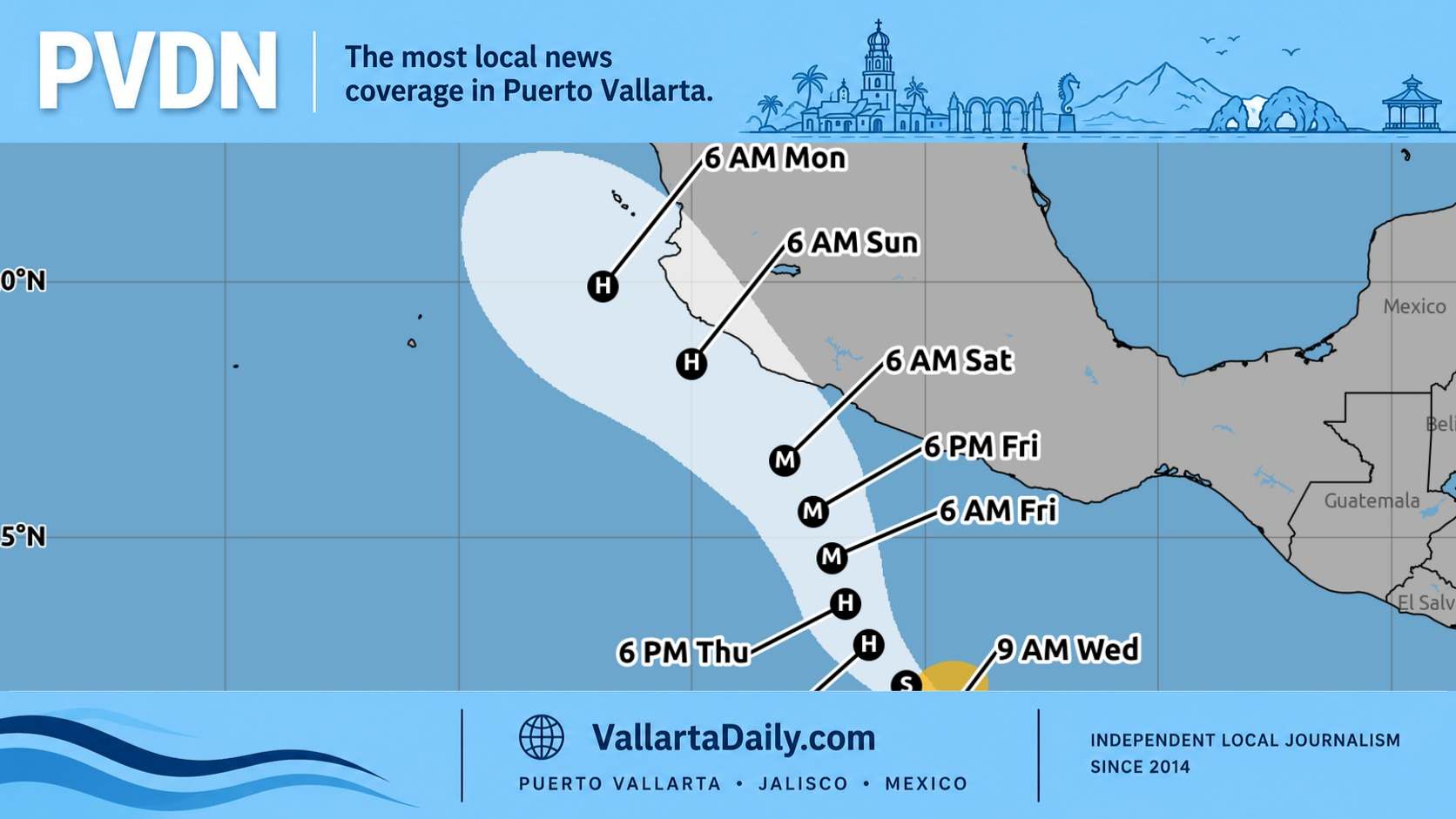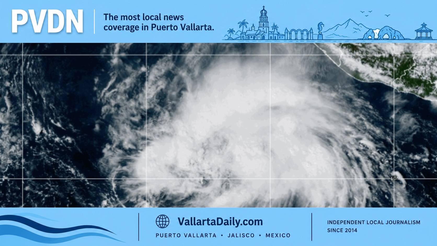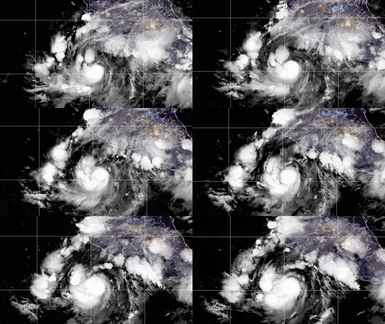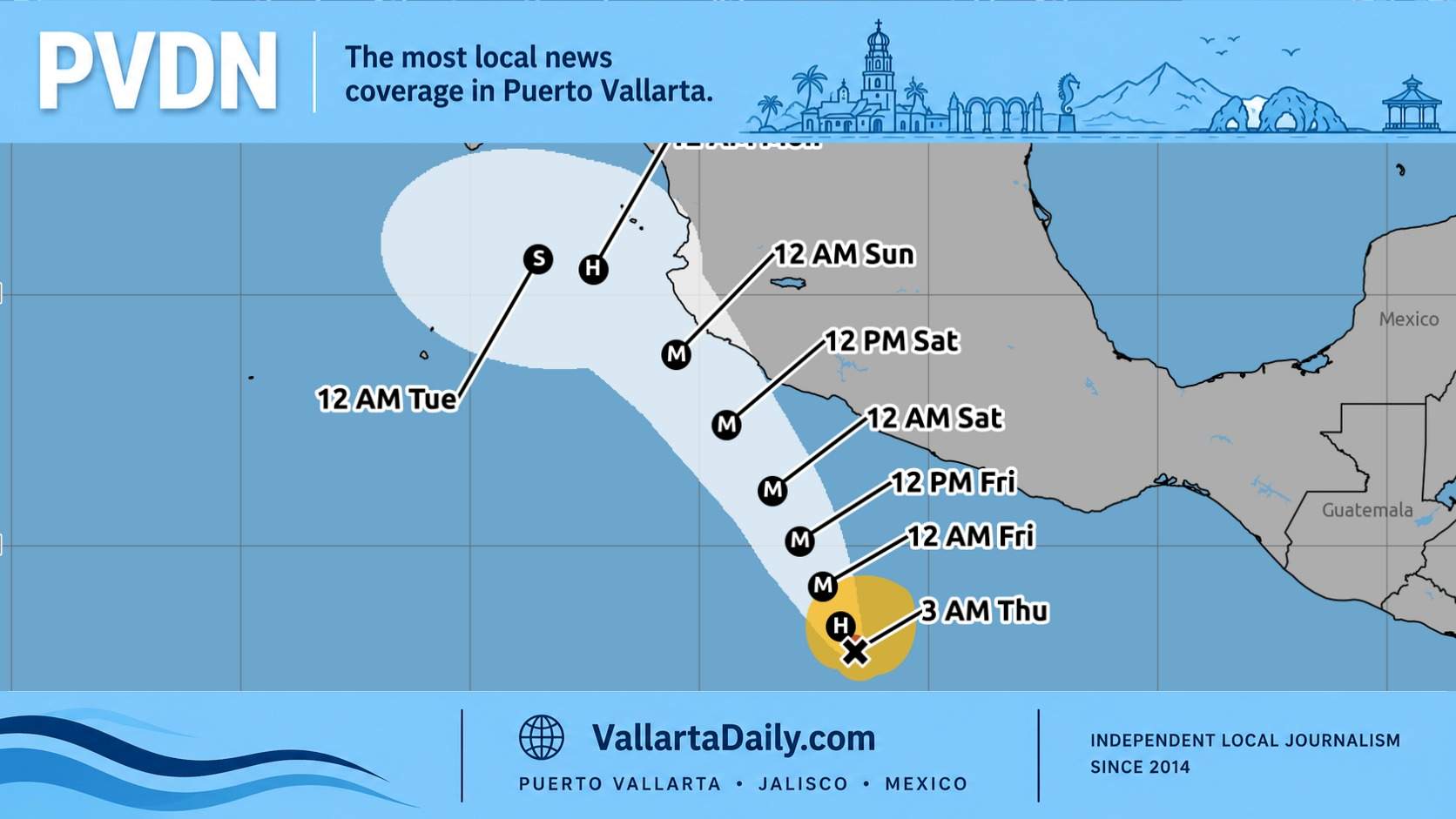
Puerto Vallarta, Jalisco, October 15, 2026 — Hurricane Trudy strengthened Thursday and is forecast to become a major hurricane Friday, bringing a threat of dangerous rain and surf to Jalisco this weekend.
The National Hurricane Center’s 3 a.m. advisory reported sustained winds of 75 mph (120 km/h). Trudy was about 480 kilometers south-southwest of Acapulco, moving northwest at 15 km/h.
No coastal watches or warnings were in effect at that hour. However, forecasters said watches would likely be needed later Thursday morning for portions of southwestern and west-central Mexico.
For Puerto Vallarta residents, the immediate question is how much preparation the weekend forecast calls for.
The answer starts with separating the hurricane’s overall strength from the conditions it could bring to the area. The NHC’s latest wind-probability table gives Puerto Vallarta a 29% chance of sustained tropical-storm-force winds over five days, through early Tuesday. The probability of hurricane-force winds is 1%. Tropical-storm-force winds begin at 39 mph (63 km/h).
Those figures describe wind at Puerto Vallarta. Flooding and dangerous coastal conditions require separate attention, including if the storm’s strongest winds remain offshore.
The NHC’s forecast discussion describes a weekend approach close to the coast between Punta San Telmo and Cabo Corrientes, south of Puerto Vallarta. A turn westward, away from the coast, is forecast early next week.
“Considerable track uncertainty remains,” forecasters cautioned, particularly four to five days out. The forecast therefore leaves room for changes in how close Trudy passes and which communities experience its strongest winds.
Rain is already a concern for Jalisco. Through the weekend, the hurricane center forecasts 4 to 8 inches (about 100 to 200 millimeters) across Colima and Jalisco, with isolated totals near 12 inches (about 300 millimeters).
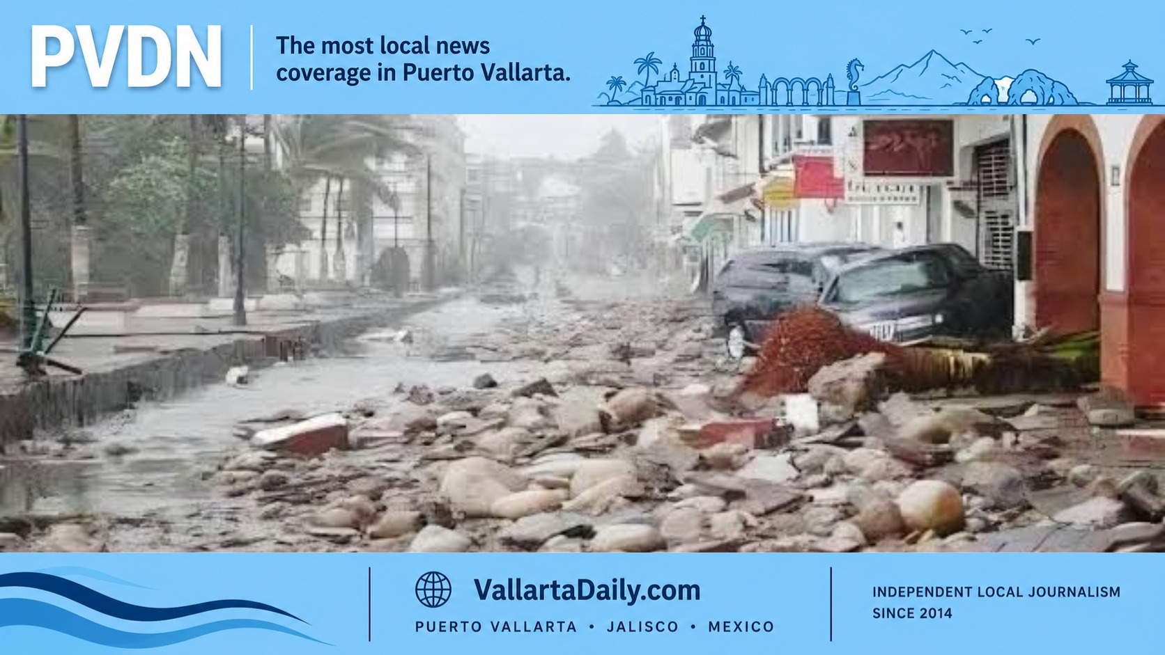
The agency warned that rainfall could produce “life-threatening flooding and mudslides,” especially along steep terrain. These are regional rainfall totals; the advisory does not assign a specific amount to Puerto Vallarta.
For residents, that shifts some attention from the storm’s center to the route between home, work and essential services. Vallarta Daily’s reporting on why some Puerto Vallarta streets flood before others identified 26 recurring roadway flood points in a 2026 municipal inventory. Elevation and drainage capacity help explain why conditions can differ between nearby streets.
Anyone whose usual route crosses a flood-prone street should identify an alternative before heavy rain develops. NOAA’s hurricane safety guidance advises against driving through floodwater or crossing compromised bridges, even after a storm has passed.
The coast presents another concern. Trudy’s swells are expected to begin affecting portions of southwestern Mexico over the next day or so and continue through the weekend, with potentially life-threatening surf and rip currents.
For anyone planning a swim or boat outing on Banderas Bay, sunshine alone is not enough reassurance. NOAA explains that distant hurricanes can generate dangerous surf and currents hundreds of miles away, sometimes days before their closest approach. Beach signs and instructions from lifeguards and local authorities should guide those decisions.
Thursday offers time to secure loose outdoor items, check essential supplies, and review an evacuation route if local authorities call for one. The purpose is to have those arrangements ready before deteriorating weather makes them harder.