Mexico’s average temperature is rising faster than any other country-level measure cited for Latin America, according to new WMO data. The figure comes after a year marked by record heat in Mexicali, unusually heavy June rainfall, flooding in eastern Mexico, and ongoing concerns about coastal risks in the Gulf of Mexico. The report does not point to a single event. It places recent extremes inside a longer warming trend that is now showing up in heat, rain, and water risk.
Mexico’s warming rate stands apart
Mexico is warming at the fastest rate reported for Latin America, according to a new World Meteorological Organization report on the region’s 2025 climate.
The report says Mexico’s average temperature rose about 0.34°C per decade from 1991 to 2025. That rate is higher than the figures cited for South America, Central America, and the Caribbean.
The finding places Mexico at the forefront of a regional pattern already being felt through heat, drought, heavy rain, flooding, and coastal risks. The report does not treat those events as isolated problems. It places them within a longer trend of rising temperatures and a less predictable water cycle.
Heat and rain both shaped 2025
The clearest heat marker came in Mexicali, where the temperature reached 52.7°C on August 12. The WMO report identifies that reading as Mexico’s highest recorded temperature.
The same year also brought unusual rainfall. June 2025 was described as the rainiest month ever recorded in Mexico. National rainfall averaged 155.5 millimeters that month.
That does not mean the country had steady relief from dry conditions. The report says drought affected northern and central Mexico, covering up to 85% of the country at its peak. That put pressure on crops and reservoirs.
Extreme events added to the warning
The WMO report lists several recent events in Mexico as part of the region’s extreme weather picture.
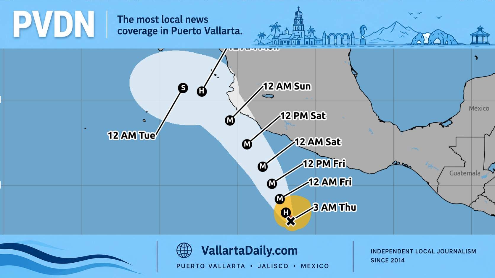
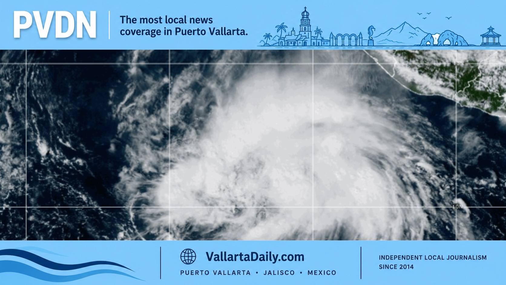
They include Hurricane Erick in June, heat waves in the northwest in August, and flooding in eastern Mexico in October. Erick reached Category 4 strength before making landfall as a Category 3 hurricane in western Oaxaca.
The October floods were among the year’s deadliest events in Mexico. The WMO release says flooding in Mexico caused 83 deaths that month and damaged infrastructure.
The report also points to changing ocean conditions. In the Gulf of Mexico and nearby waters, sea-level rise, warmer surface waters, and marine heat waves are part of the regional climate picture.
A national issue with local effects
The report’s findings are national, but the effects are local. Heat changes daily life in northern cities. Heavy rain strains drainage systems in central and southern states. Drought affects farming areas, reservoirs, and water planning.
Coastal areas face a different set of risks. Rising sea levels, warmer waters, and more intense rainfall can affect beaches, ports, fishing grounds, and low-lying neighborhoods. The WMO report says Atlantic-facing coasts in parts of the region are experiencing sea-level rise faster than the global average.
The report does not say every event had one cause. Weather events are shaped by many factors. Its main point is that Mexico’s warming trend is measurable, and recent extremes are occurring against that warmer background.