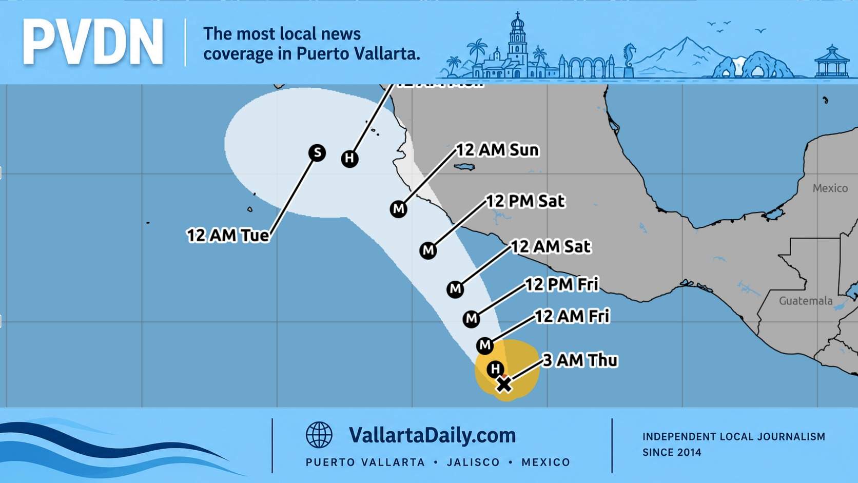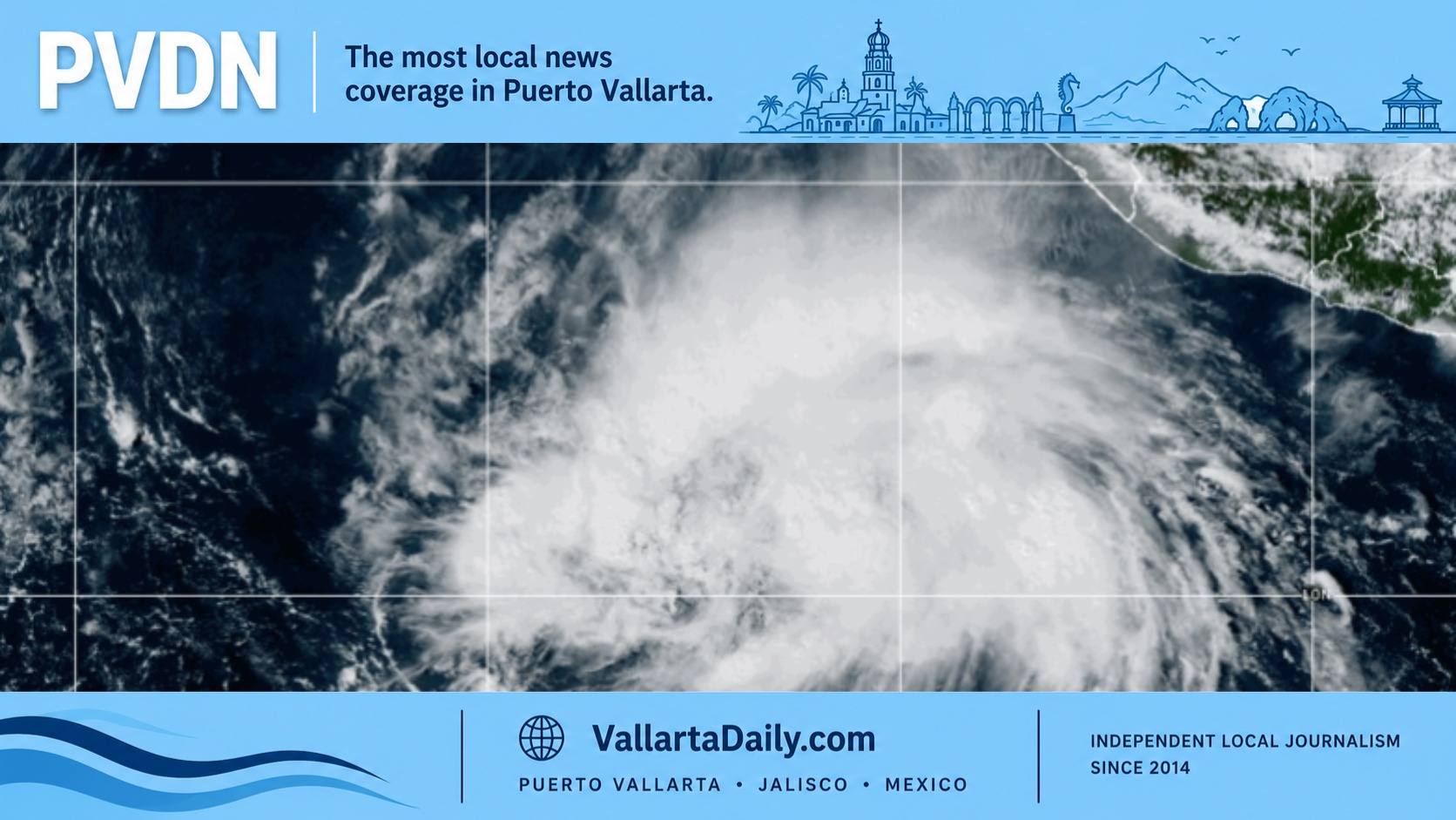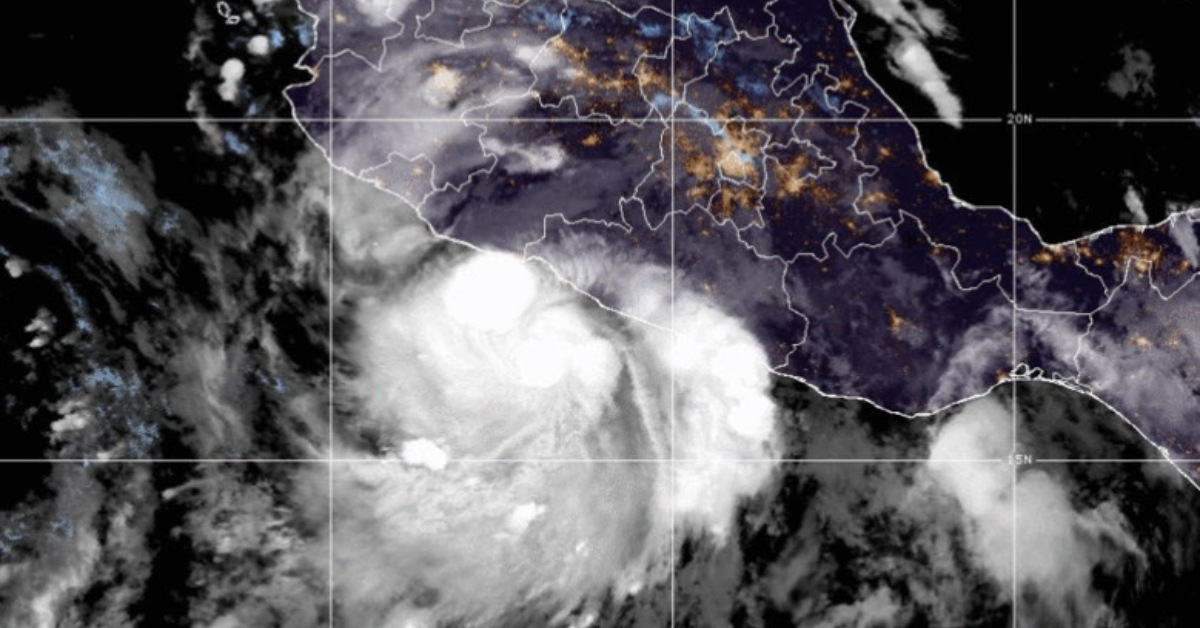
The 2026 Pacific hurricane season has not started yet, but the early signal is already in place. The eastern Pacific season runs from May 15 through November 30. As of mid-April, there are no tropical cyclones in the basin, and routine outlooks resume on May 15. The bigger story is the climate setup behind the season. El Niño is not here yet, but it is more likely than not to emerge as the season begins. That matters for Mexico’s Pacific coast, because El Niño tends to support a more hurricane-friendly background in the eastern Pacific.
Mexico’s early public forecast from Meteorología-SEMAR calls for 16 Pacific cyclones in 2026. The breakdown is 2 depressions, 6 tropical storms, 4 category 1 or 2 hurricanes, and 4 major hurricanes. That is close to the long-term eastern Pacific baseline in overall volume. NOAA’s 1991-2020 average is about 15 named storms, 8 hurricanes, and 4 major hurricanes. Read another way, SEMAR is not signaling a low-activity season. It is signaling a season that could stay near normal in terms of counts while still leaving room for strong storms.
Why El Niño changes the conversation
This is the part readers in Puerto Vallarta should watch the closest. In the eastern Pacific, El Niño does not always produce a sharp jump in total storm numbers. NOAA’s ENSO background shows a more useful pattern. During El Niño peak seasons, the basin averaged about 15 tropical storms, 8.5 hurricanes, and 5.5 major hurricanes. Across all seasons, the averages are roughly 15.4 named storms, 8.3 hurricanes, and 4.2 major hurricanes. The message is simple. El Niño can matter less for raw count and more for how many systems reach hurricane or major hurricane strength.
NOAA’s April ENSO discussion says ENSO-neutral conditions are present now and favored through April-June. It then gives El Niño a 61 percent chance of emerging in May-July and persisting through at least the end of 2026. NOAA also says there is a one-in-four chance the event becomes very strong. SEMAR’s outlook points in the same direction. It warns that a shift from neutral to El Niño could raise the odds of rapid intensification and major hurricanes in the eastern Pacific. That does not tell anyone where a storm will strike. It tells readers not to judge the season by the total number of names on the list.
How 2026 compares with recent and El Niño seasons
The most recent season offers a useful benchmark. In 2025, the eastern Pacific finished with 18 named storms, 9 hurricanes, and 4 major hurricanes. SEMAR’s early 2026 forecast comes in lower on total named systems, but close on hurricane counts. History also shows why El Niño years deserve extra attention. The eastern Pacific produced 17 named storms, 9 hurricanes, and 7 major hurricanes in 1997. In 2015, it produced 18 named storms, 13 hurricanes, and 9 major hurricanes. In 2023, it logged 17 named storms, 10 hurricanes, and 8 major hurricanes. Those seasons were not identical, but they show how warm-Pacific years can shift a season toward higher-end storms.
That is why the 2026 outlook deserves a careful reading. By count, it does not point to a record basin. By structure, it does not look weak. A forecast of 8 hurricanes and 4 major hurricanes is close to the historical eastern Pacific average, but it also aligns with a pattern of a season where intensity matters as much as volume. For readers trying to decide whether this sounds like a calm year, the safer conclusion is no. It sounds like a season that still leaves a meaningful opening for a major storm near Mexico.
What this means for Puerto Vallarta and Mexico’s central Pacific coast
For Puerto Vallarta, the basin forecast is only the first layer of the story. NOAA is clear that seasonal outlooks do not predict landfalls months in advance. Landfall depends on short-range steering patterns that cannot be resolved in April. That is why a season can look moderate on paper and still produce a damaging local event. The practical question for Bahía de Banderas, Jalisco, and nearby Nayarit is whether storms form close enough to southern Mexico and then track northwest or north-northwest along the coast. That setup can send dangerous rain, high surf, river flooding, and landslide risk into the region even without a direct strike.
Research on landfalls along the Pacific coast of Mexico adds useful local context. One long-term study found that the coast averaged about 1.8 landfalls per year from 1850 to 2010, or about 2.1 per year when the earliest decades are excluded. Another study found the highest near-coast frequencies in Baja California Sur and Sinaloa, but also identified a secondary maximum from Oaxaca through Jalisco. That matters for readers in west-central Mexico. Jalisco is not the most active stretch of coast each year, but it lies within a corridor where storms can still pass close enough to cause major rain and flooding.
Timing matters too. The eastern Pacific begins earlier than the Atlantic, but its pace is not evenly spread. The first named storm usually forms around June 10. The first hurricane usually arrives near June 26. The first major hurricane typically appears around July 15. NOAA says the peak months are July through September, yet late season still matters for Mexico. In the average eastern Pacific calendar, the eighth hurricane does not form until October 23. That is one reason readers on the Pacific coast of Mexico should not treat October as an afterthought.
The names and dates readers will hear in 2026
The 2026 eastern Pacific name list begins with Amanda, Boris, Cristina, Douglas, Elida, Fausto, Genevieve, Hernan, Iselle, Julio, Karina, and Lowell. Those are the first names readers will hear if the season starts on schedule. The next six are Marie, Norbert, Odalys, Polo, Rachel, and Simon.
The final six names on the main 2026 list are Trudy, Vance, Winnie, Xavier, Yolanda, and Zeke. The eastern Pacific uses a rotating six-year list, so the 2026 set is official and fixed unless a name is retired later. Another small change is worth noting. If the basin burns through all 24 names, forecasters now move to a WMO-approved alternate list instead of using Greek letters.
The bottom line
The early read on Mexico’s 2026 Pacific hurricane season is more nuanced than a simple above-normal or below-normal label. By count, the season currently looks close to the long-term average. By background climate, it looks capable of producing stronger hurricanes if El Niño develops on schedule. For readers in Puerto Vallarta, that means the key takeaway is not that a strike is likely or unlikely. It means this season should be watched from the start, with extra attention on systems forming south of Mexico and on the July to October window when the basin usually becomes more relevant for the Mexican coast.
That is also why the most useful forecast in April is not a promise about landfall. It is a reminder about timing, intensity, and local risk. The season starts May 15. The first named storm often appears by June 10. And if El Niño locks in by summer, the most important question may not be how many systems form. It may be how many reach hurricane strength before they pass close to Mexico.