Puerto Vallarta, Jalisco, Sept. 16, 2026 – Puerto Vallarta began Wednesday warm and humid, with afternoon heat, isolated thunderstorms and elevated surf expected along the Jalisco coast.
The 5:45 a.m. airport observation recorded 25°C (77°F), humidity near 94%, and light north-northeast wind. Visibility was about 13 kilometers (8 miles), with haze and scattered clouds but no rain or thunder at the airport.
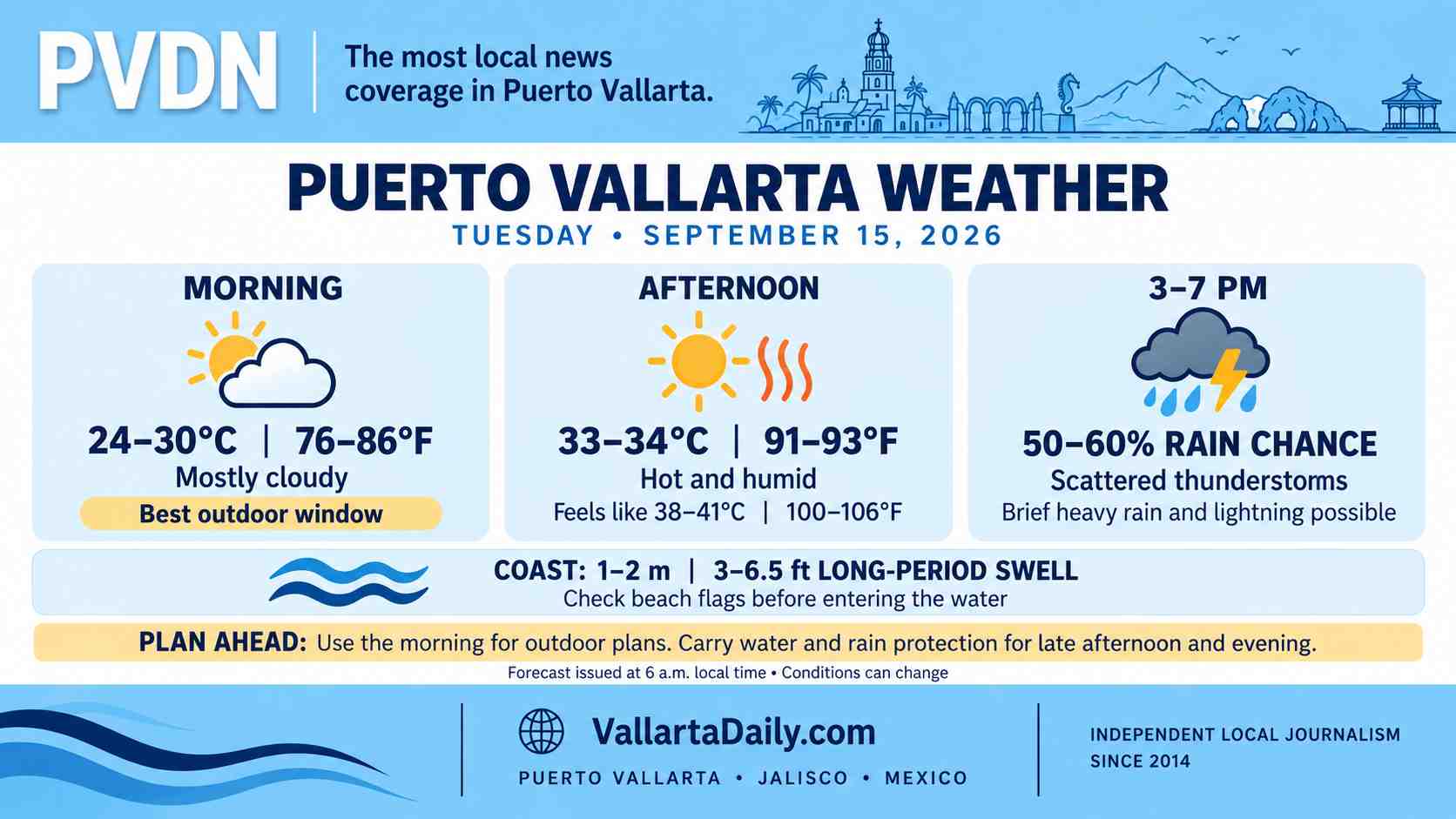
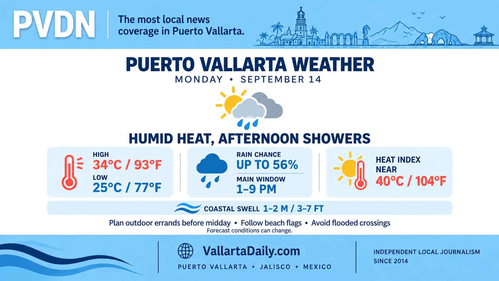
Temperatures are expected to reach 33°C to 34°C (91°F to 93°F). Humidity could push the apparent temperature to about 38°C or 39°C (100°F to 102°F) during the hottest part of the day.
Rain chances rise during the afternoon
City-level forecasts place the rain chance near 20% to 30%, with the most likely window from about 2 p.m. through the late afternoon. Any storms are expected to be scattered, meaning rainfall may vary sharply between neighborhoods.
The 6 a.m. forecast for western Mexico presents a higher regional risk. The National Meteorological Service, or SMN, forecasts 25 to 50 millimeters (1 to 2 inches) of rain in parts of western and southwestern Jalisco.
Those regional totals are not expected everywhere in Puerto Vallarta. However, a slow-moving storm could produce a short period of heavy rain, lightning, and street flooding. The forecast risk is highest in low-lying areas, near waterways and on roads where drainage is poor.
No tropical cyclone warning was in effect for Puerto Vallarta early Wednesday. The local concern comes from unstable regional weather rather than a named storm near Banderas Bay.
Gusts and long-period swell along the coast
Surface wind in the city should remain light through the morning and increase during the afternoon. Thunderstorms may produce brief, stronger gusts.
The SMN’s regional forecast calls for wind of 20 to 30 km/h (12 to 19 mph), with possible gusts of 40 to 60 km/h (25 to 37 mph) in Jalisco. That is a regional forecast and does not mean those speeds will occur across the city.
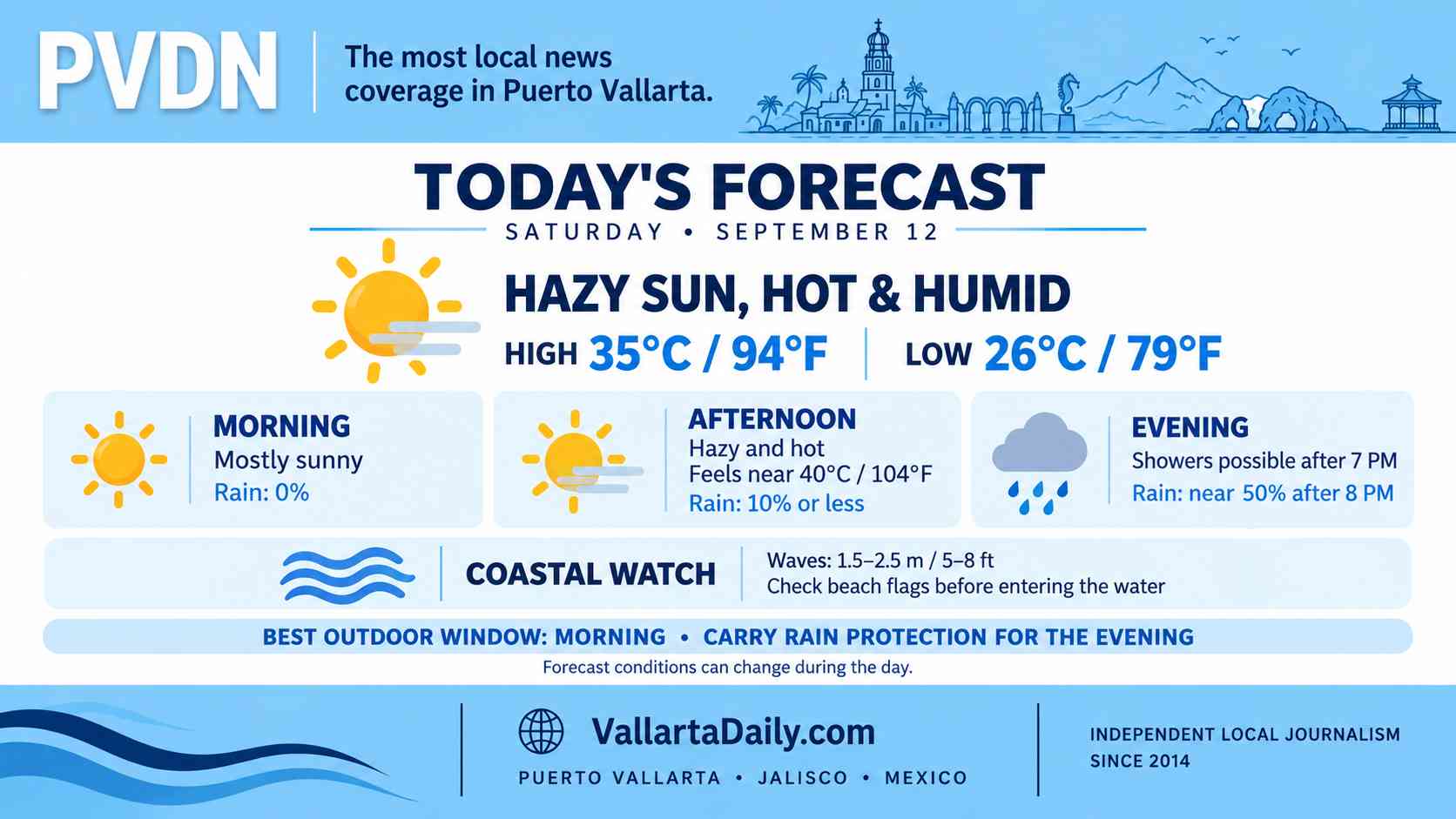
Long-period swell of 1 to 2 meters (3 to 6.5 feet) is forecast along the Jalisco coast. Swimmers should check the flag posted by lifeguards at each beach because conditions can differ along the shoreline. Boat operators should confirm the latest Puerto Captain navigation status before departure.
Leave the water when thunder is heard. Lightning can reach beaches and open water before rain arrives.
The best window for outdoor plans
Morning offers the best window for errands, exercise and beach time. Heat will build quickly after 10 a.m., with the highest apparent temperatures expected around midday and early afternoon.
Carry water, seek shade during prolonged outdoor activity and keep rain protection nearby after lunch. Drivers should avoid entering flooded streets if a storm develops, especially after dark when water depth is harder to judge.
Weather conditions can change quickly during the afternoon. Updated radar, beach flags, and official advisories should take priority over the morning forecast.