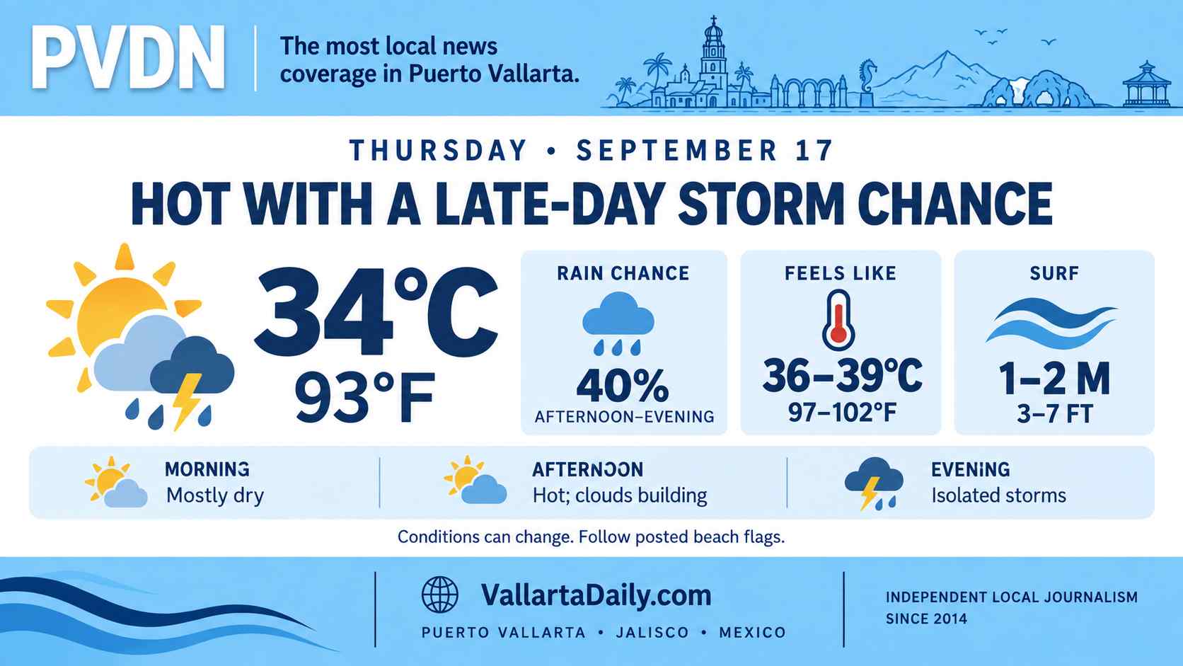
Puerto Vallarta starts June 4 with the kind of weather that can look manageable in the morning and change by afternoon. The local forecast points to heat, humidity, and a spotty risk of storms, while federal forecasters keep Jalisco under a broader rain and surf pattern. The strongest state-level rain signal is not centered on the bay, but the day still carries the familiar early-season uncertainty that comes with June weather on the coast.
Heat holds before the wetter window
Puerto Vallarta weather enters Thursday with heat, humidity, and a chance of spotty afternoon storms. Federal forecasters also keep Jalisco under broader rain, wind, and coastal surf conditions tied to an active early-June pattern across western Mexico.
The local forecast for June 4 calls for partly sunny, humid weather. The high is near 33°C (91°F). The low is near 24°C (75°F). Conditions early Thursday were around 25°C (76°F).
The main shift is expected later in the day. The morning may look stable enough for normal movement around the city. After lunch, heat and moisture can build over the bay and the Sierra Madre foothills.
Federal forecasters warned in their 96-hour bulletin that heavier rain bands could be accompanied by “electrical discharges and hail.” The bulletin also cited possible rises in river and arroyo levels, landslides, ponding, flooding in low-lying areas, and reduced visibility.
Jalisco rain risk is not centered on the bay
Puerto Vallarta is not shown as the center of the heaviest state-level rain band. The federal forecast placed the strongest Jalisco signal in the state’s southeast. That area could see 50 to 75 mm of precipitation, or about 2 to 3 inches.
Nayarit, across the bay, was listed in the lower 5-25 mm band. That equals about 0.2 to 1 inch. Localized storms can still form when the strongest official precipitation zone is inland or away from the immediate coast.
Puerto Vallarta’s rainy season often begins with uneven afternoon buildup rather than steady all-day rainfall. That pattern is covered in this Puerto Vallarta weather guide.
Wind and surf add a separate concern
The broader setup still puts the coast on watch. Federal forecasters listed wind in Jalisco at 10 to 20 km/h, or 6 to 12 mph. Gusts could reach 30 to 50 km/h, or 19 to 31 mph.
Surf along the Jalisco coast was forecast at 1 to 2 meters. That is roughly 3 to 6.5 feet. Those numbers do not describe a severe local wind event by themselves.
They do mean beach and small-craft conditions can change faster than the visible sky over downtown may suggest. Rain over the hills can also send water into streets, drainage channels, and low crossings after the storm has moved on.
Amanda is distant while the coast watches new areas
The tropical picture is active, but the named storm on the map is far from Puerto Vallarta. Amanda was located well west-southwest of the southern tip of Baja California early Thursday. Maximum sustained winds were near 65 km/h, or 40 mph.
The hurricane center said Amanda had “changed little in strength.” It’s the same outlook that lists two areas of possible development in Central America and southern or southwestern Mexico during the next several days.
Formation chances over the next 48 hours were near zero for both areas. Seven-day chances were listed as medium. One area carried a 50 percent chance, and the other carried a 60 percent chance.
No local tropical storm warning is in effect for Puerto Vallarta from Amanda. The immediate concern on Thursday is the early rainy-season combination of heat, humidity, afternoon storm risk, and rougher surf.
The 2026 Pacific hurricane season began May 15 and runs through November 30. Puerto Vallarta has already established its municipal civil protection council for the rainy and tropical cyclone season. The city’s longer seasonal risk is tracked in the Puerto Vallarta Hurricane Center.