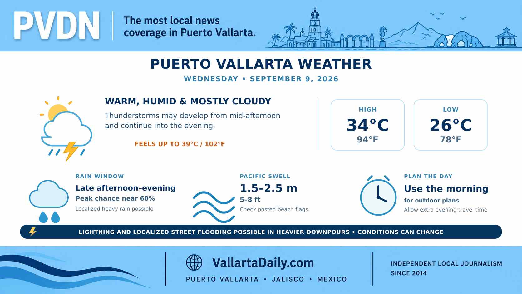
Puerto Vallarta, Jalisco, September 9, 2026 – Puerto Vallarta began Wednesday under mostly cloudy skies, with temperatures expected to climb quickly before thunderstorms become possible later in the day.
At 6:00 a.m. CST, the temperature was near 26°C (78°F). Humidity was about 82%, making it feel closer to 28°C (83°F), with a light northeast wind near 8 km/h (5 mph), according to the latest hourly conditions for Puerto Vallarta.
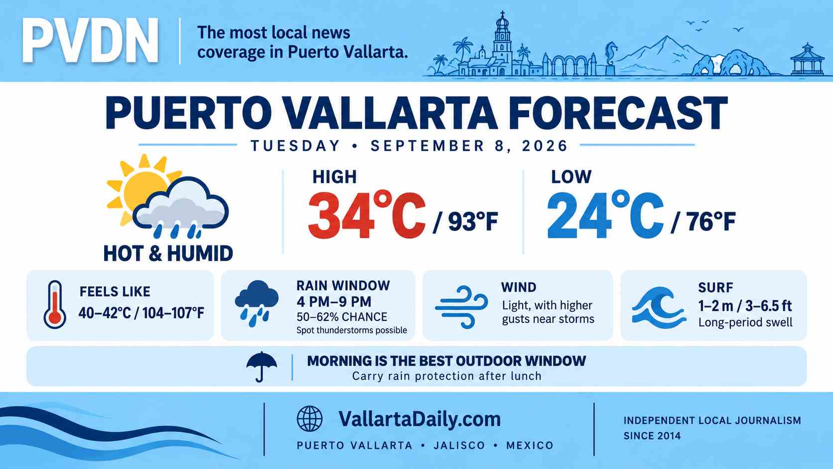
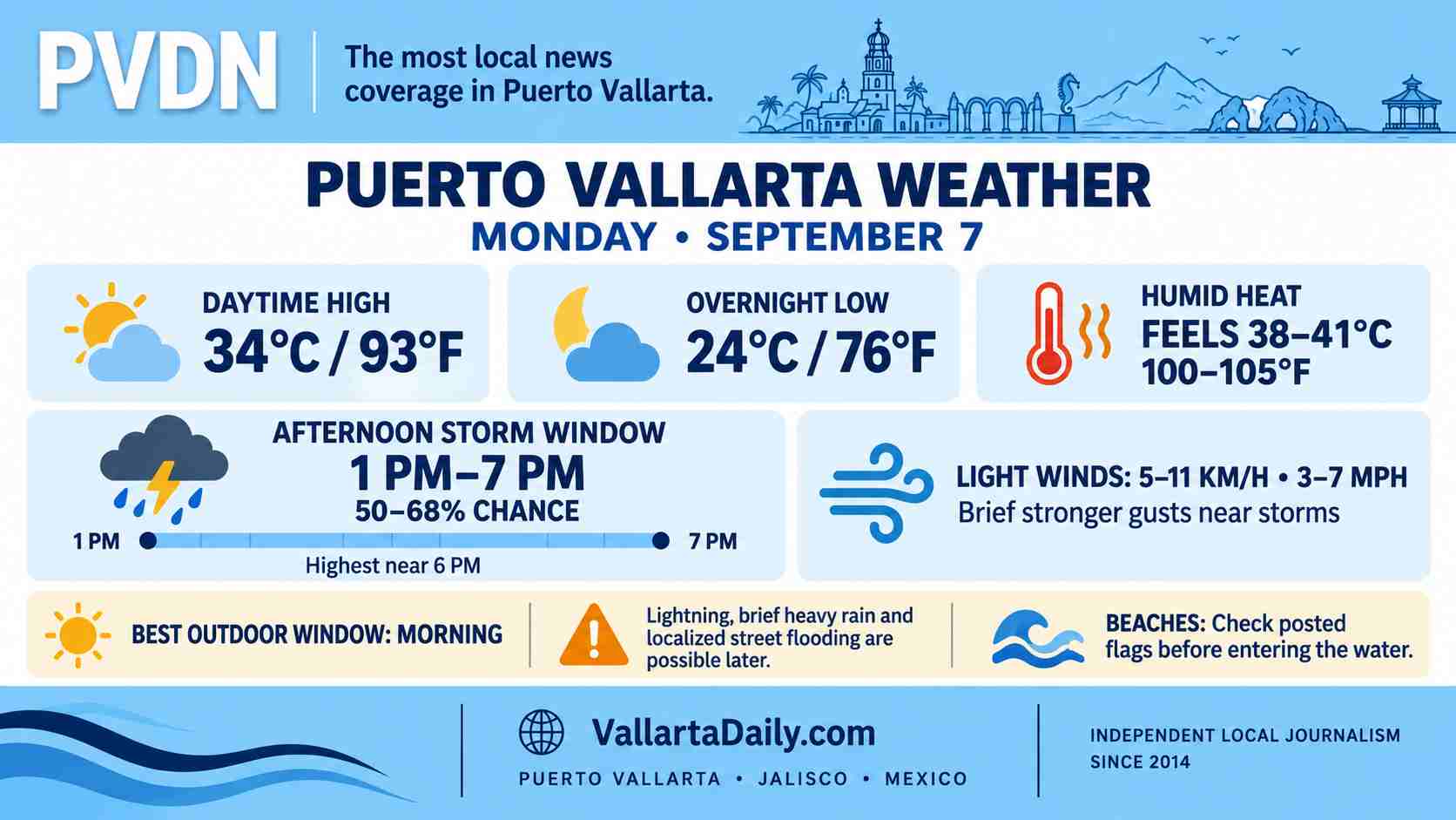
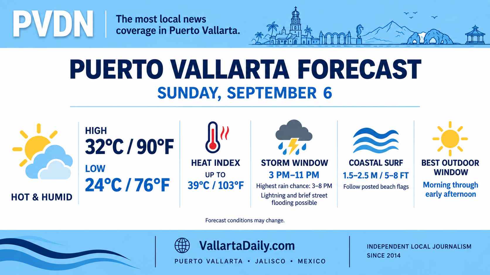
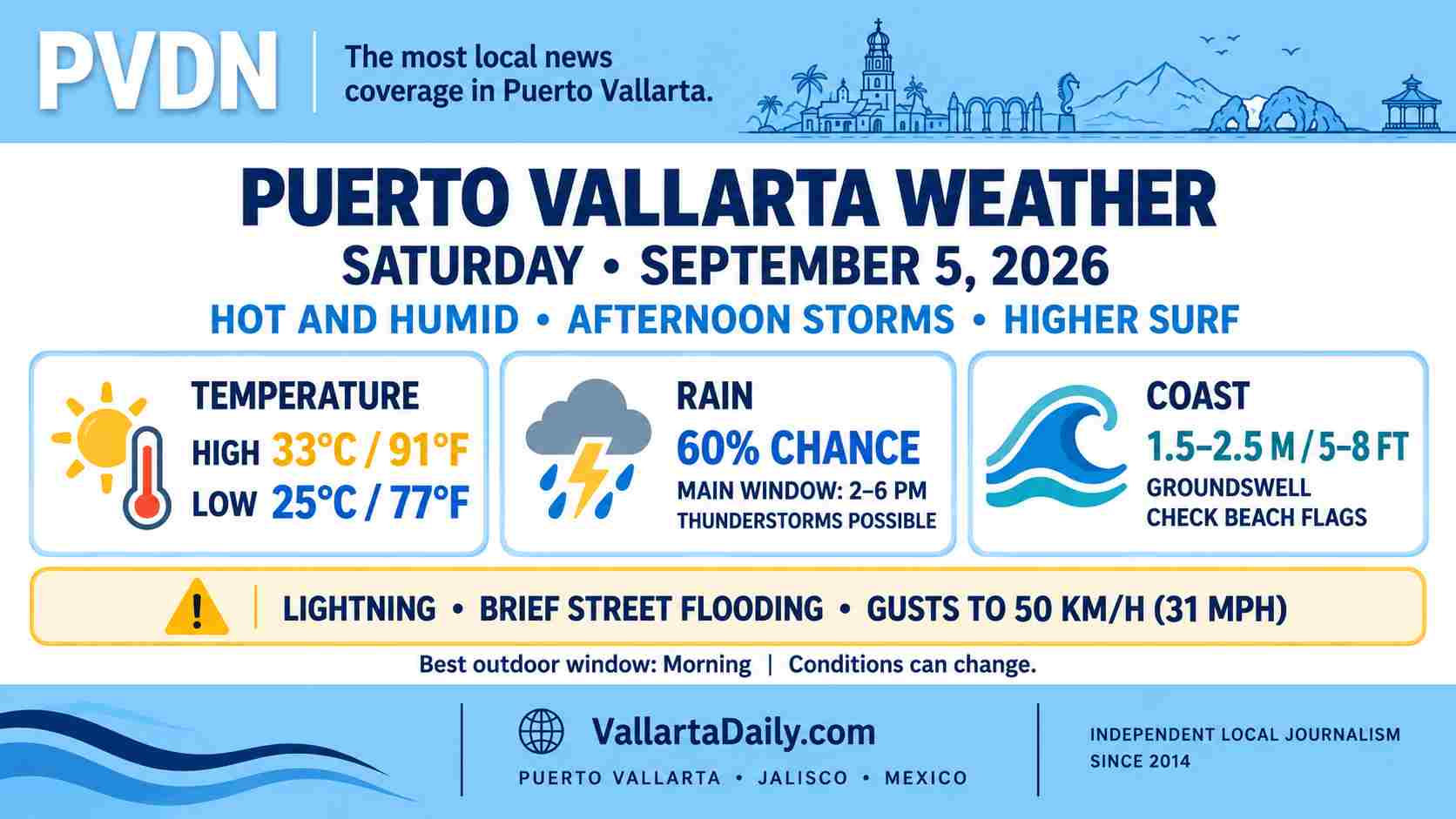
The forecast high is near 34°C (94°F), with the heat index approaching 39°C (102°F) during the afternoon. The overnight low should remain near 26°C (78°F).
Rain chances rise later in the day
The morning should remain mostly dry. The hourly forecast introduces isolated thunderstorms during the afternoon, although the stronger local rain signal develops after sunset. Rain probabilities rise to about 56% at 8:00 p.m. and 61% at 9:00 p.m. before easing later tonight.
Forecast models differ on the precise start of the rain. Residents should allow for an isolated storm from midafternoon onward, particularly near the mountains and along the southern side of the bay.
Mexico’s National Meteorological Service forecast places western and central Jalisco within a broader zone where rainfall could reach 50–75 millimeters (2–3 inches). That is a regional forecast rather than a guaranteed total for Puerto Vallarta, but any concentrated downpour could produce street flooding, reduced visibility and rapid runoff. Thunderstorms may also contain frequent lightning.
Humidity will amplify the afternoon heat
Temperatures should reach 33–34°C (91–94°F) around midday and remain near that level through the afternoon. Humidity will keep apparent temperatures close to 38–39°C (100–102°F).
Outdoor work, exercise and longer walks will be more comfortable during the morning. Anyone working outside during the afternoon should plan additional water and shade breaks.
Winds will remain light around the city for much of the day. Stronger gusts are possible near thunderstorms, and unsecured lightweight objects should be brought inside if clouds build quickly over the mountains.
Higher swell along the Jalisco coast
The federal forecast calls for Pacific swell of 1.5–2.5 meters (5–8 feet) along the Jalisco coast. Those figures describe offshore swell and do not represent the exact breaking-wave height at every Puerto Vallarta beach. Conditions can vary considerably around Banderas Bay.
Swimmers should follow the flag displayed at each beach and instructions from lifeguards. Leave the water when thunder is heard, even if rain has not reached the shoreline.
Current municipal flag conditions were not available in the official sources reviewed at 6:30 a.m. Boaters and tour operators should also confirm departure conditions through the federal port-status dashboard before leaving the marina.
The most reliable outdoor window
Morning through early afternoon offers the best chance for outdoor plans, although midday heat will be uncomfortable. Keep evening activities flexible and allow extra travel time if storms develop.
Drivers should avoid water-covered streets and low crossings during heavy rain. Beachgoers should reassess surf and flag conditions on arrival rather than relying on morning reports.
This forecast was checked at 6:30 a.m. CST in the America/Mexico_City time zone. Rain timing, beach conditions and localized flooding risk can change during the day.