Puerto Vallarta, Jalisco, September 3, 2026 – Puerto Vallarta started Thursday under an overcast sky with high humidity. At 5:40 a.m. CST, the airport weather observation reported 25°C (77°F), humidity near 83%, and wind from the northeast at 11 km/h (7 mph). Visibility was about 19 kilometers (12 miles).
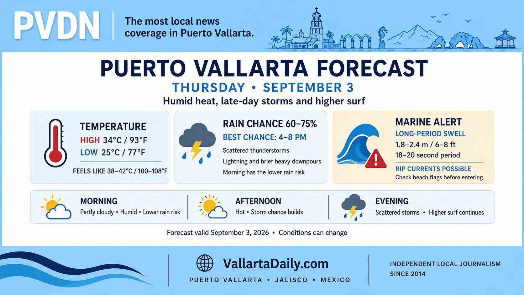
Forecast guidance places the afternoon high between 32°C and 34°C (90°F and 93°F). The heat index could reach about 38°C to 42°C (100°F to 108°F) before temperatures ease later in the day.
Rain is not expected to continue all day. The hourly forecast and a second city forecast put the daily chance of measurable rain between roughly 60% and 75%. Showers and scattered thunderstorms are most likely from late afternoon into the evening, with another shower possible late Thursday night.
Storm timing and road conditions
The Pacific marine forecast, valid through 8 a.m. Friday, calls for heavy rain and thunderstorms in parts of Jalisco. It gives a broad regional range of 25 to 50 millimeters (1 to 2 inches), with isolated totals of 100 to 150 millimeters (4 to 6 inches).
Those figures cover a large area and are not a rainfall prediction for Puerto Vallarta alone. A storm that develops over the city could still bring lightning, brief gusts, reduced visibility and temporary flooding on low-lying streets. Drivers should not enter water where the road surface or depth cannot be seen.
Long-period swell reaches Vallarta beaches
A federal marine alert says long-period swell will affect the Pacific coast from Chiapas to Sinaloa beginning Thursday. The alert specifically includes Puerto Vallarta and calls for waves of 1.8 to 2.4 meters (6 to 8 feet), periods of 18 to 20 seconds, and rip currents. Conditions are expected to begin easing Saturday.
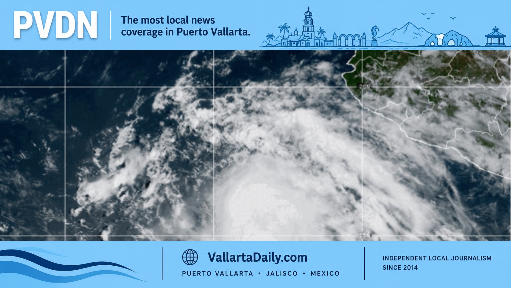
Hurricane Marie was about 610 kilometers (380 miles) southwest of the southern tip of Baja California at 3 a.m. Puerto Vallarta time, moving west-northwest. No coastal watches or warnings were in effect. Marie is not forecast to approach Puerto Vallarta, but its swells can affect southwestern Mexico.
Long-period swell can create strong shore break and rip currents even when the water near shore does not appear rough. Wave height inside Banderas Bay will vary by beach exposure.
Beach and boat checks remain essential
PVDN had not verified a new citywide beach-flag report for Thursday by 6:17 a.m. CST. Beach flags can differ by location and change during the day, so swimmers should follow the flag posted at each access point and the instructions of lifeguards.
The marine alert does not announce a port closure. Boat operators should check the federal port-status map and confirm conditions with the Puerto Vallarta harbormaster before departure.