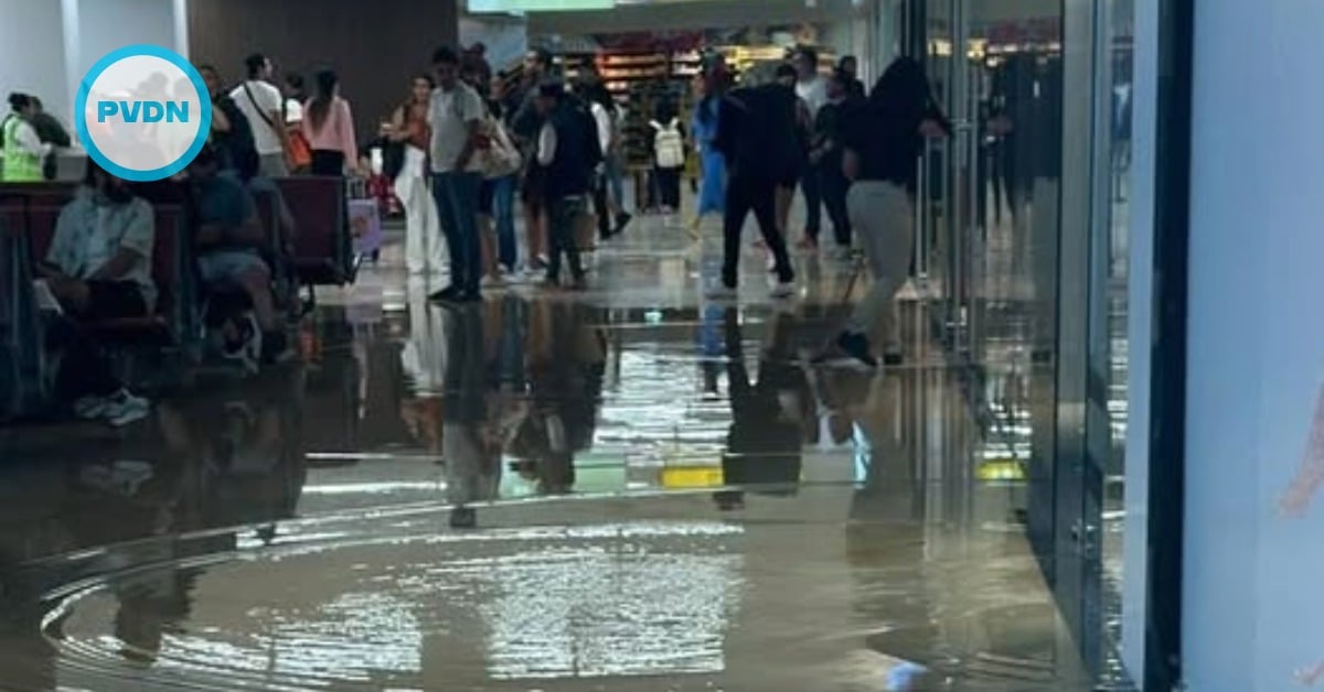
Puerto Vallarta residents and visitors should prepare for a humid, rainy Monday as cloud cover and precipitation dominate the local weather forecast. The day will begin with mostly cloudy skies and a stifling 30°C (86°F) temperature early in the morning, with a gentle west-northw…