Puerto Vallarta, Jalisco, September 6, 2026 – Puerto Vallarta faces another hot, humid Sunday, with a growing chance of showers and thunderstorms from midafternoon through late evening.
At 9:56 a.m. local time, the latest available Puerto Vallarta station report, issued at 8:46 a.m., showed partly sunny skies and a temperature of 30°C (86°F). Humidity was 75%, making it feel closer to 36°C (97°F).
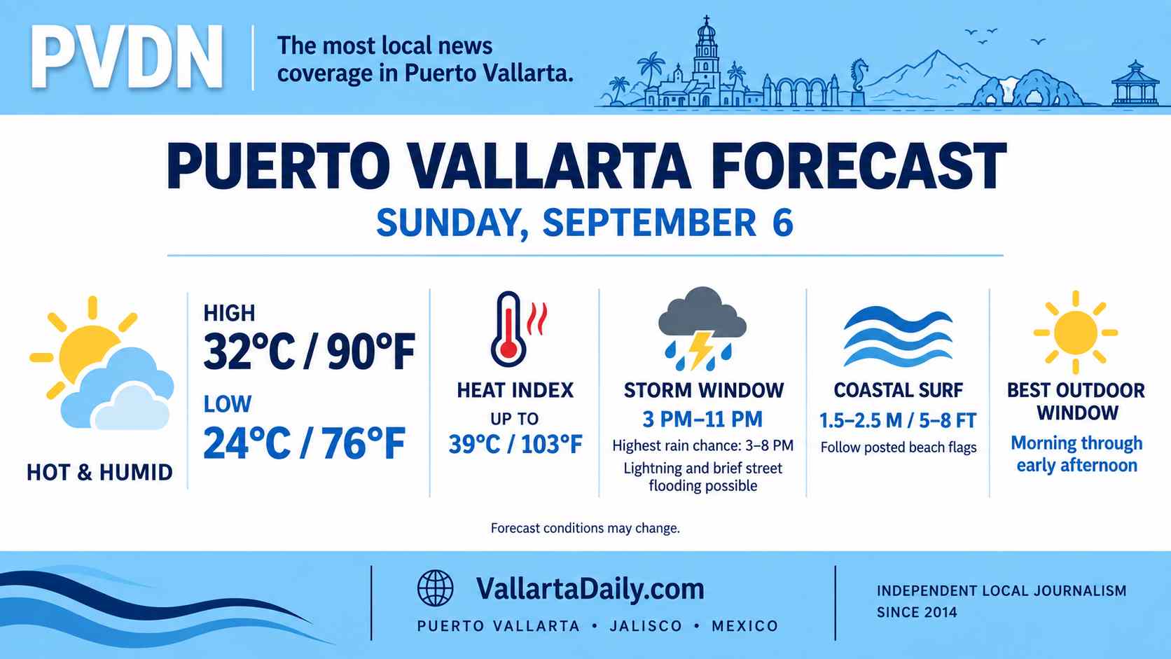
The high should reach about 32°C (90°F), followed by an overnight low near 24°C (76°F). Outdoor plans have the best chance of staying dry before midafternoon.
Rain timing remains uncertain
Forecast models agree that the rain risk increases later in the day, although they differ on how widespread the storms will become.
One hourly forecast places the rain chance near 20% to 30% through much of the afternoon and evening, rising to 40% by 11 p.m. A second Puerto Vallarta weather model shows a stronger signal, with a 70% to 90% chance of rain and thunderstorms between 3 and 8 p.m.
The practical storm window is from about 3 p.m. through late evening. Rain may remain scattered, so conditions could differ between the Hotel Zone, Centro, the Romantic Zone, and inland neighborhoods.
Any stronger storm could produce lightning, brief street flooding and reduced visibility. These are forecast risks, not reports of flooding already underway.
Heat peaks around midday
The heat index could approach 39°C (103°F) between noon and 3 p.m., even with the air temperature near 32°C (90°F). Humidity is expected to remain between 65% and 75% during the afternoon.
People working, exercising, or walking outside should schedule longer activities for the morning when possible. Cloud cover may increase later, but the humidity will keep conditions uncomfortable.
Elevated seas along the Jalisco coast
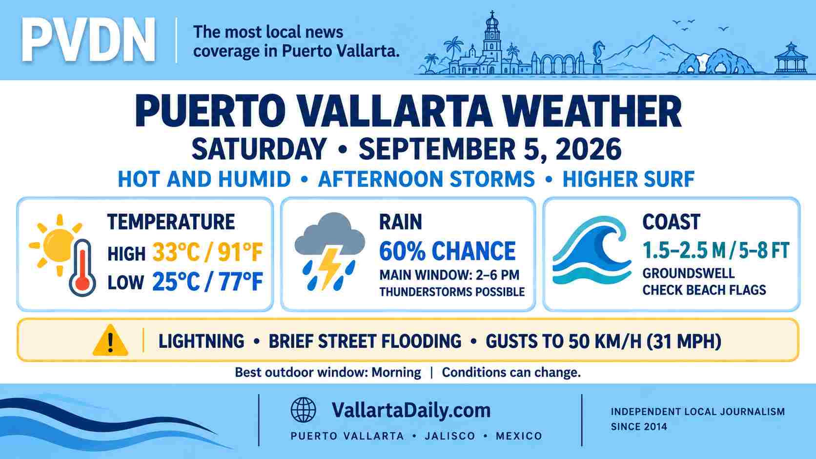
The 6 a.m. national forecast calls for waves of 1.5 to 2.5 meters, or about 5 to 8 feet, along the Jalisco coast. Regional wind gusts could reach 30 to 50 km/h (19 to 31 mph), although city-level forecasts show lighter winds away from thunderstorms.
Beach conditions can vary within Banderas Bay. Swimmers should follow the flag posted at their beach, while operators of small boats should confirm conditions before departure. The marine forecast does not by itself indicate a port closure.
Hurricane Marie remains well offshore and is moving northwest over the open Pacific. The latest advisory indicated that weakening was expected, with no direct Puerto Vallarta landfall threat shown.
Best window for Sunday plans
Morning and early afternoon offer the most reliable period for errands, beach visits and outdoor activities. Carry rain protection after 3 p.m. and allow extra travel time if thunderstorms develop during the evening.
Forecast timing, beach flags and marine conditions can change during the day.