Puerto Vallarta’s Saturday forecast is not the kind that announces itself with one clear warning. In town, the day is hot, damp, and partly cloudy, with temperatures near 32°C (90°F). Along the wider Jalisco coast, federal weather officials are watching heavier rain pockets and rougher surf. That leaves the city in a familiar June position, where the sky can look manageable while the mountains and ocean tell a different story.
Puerto Vallarta Weather Has a Humid Surprise Today
Puerto Vallarta opens Saturday under the kind of June weather that can fool people a little. The morning starts warm, the clouds come and go, and the day looks workable enough. By late morning, the heavier air settles in.
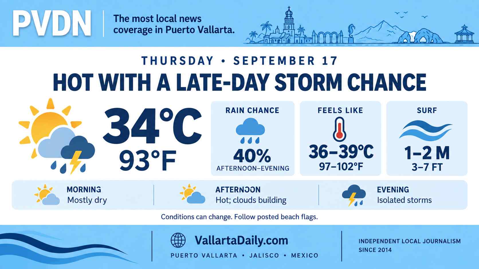
The local forecast for June 6 calls for heat, humidity, and changing cloud cover, with temperatures climbing from about 26°C, or 78°F, early in the day to around 32°C, or 90°F, by midday. Evening temperatures are expected to remain near 28°C (82°F), so the city is unlikely to get much relief after sunset.
That is the town-level forecast. The wider regional picture is messier. Mexico’s weather service has kept Jalisco inside a broader rain pattern, while also warning of higher surf along parts of the Pacific coast through its extended forecast.
The heat arrives before the rain
The first thing most people will feel is not rain. It is the sticky heat.
By late morning, Puerto Vallarta is expected to sit around 31°C to 32°C, or 88°F to 90°F. That may not look extreme on paper, but June heat here rarely behaves like dry heat. It gathers on sidewalks, inside buses, under palapa roofs, and along the Malecón when the breeze drops.
Clouds should move through the day, but the forecast does not point to a washed-out Saturday in central Puerto Vallarta. The setup is closer to early rainy season weather, when storms often build inland or over the hills before deciding whether to reach the bay.
A Puerto Vallarta weather guide notes that June marks the start of the wetter stretch, with many storms arriving later in the day instead of spoiling the morning outright.
The official rain alert is broader than the city
The official state-level outlook is worth watching because it does not treat every part of Jalisco the same.
The federal agricultural weather forecast placed the highest risk of rain in southern Jalisco, where rainfall could reach 75 to 150 millimeters, or about 3 to 6 inches. Nayarit was listed in a lower rain band of 25 to 50 millimeters, or about 1 to 2 inches, according to the official agricultural weather report.
That does not mean Puerto Vallarta is headed for six inches of rain. It does mean the surrounding region is active. A storm that forms over the mountains, the south coast, or the highway corridor can quickly change driving conditions, even if the city center only sees a short downpour.
Federal forecasters also warned of thunderstorms in the wider pattern, including lightning and possible hail in some areas. In coastal Jalisco, that usually means the day should be read hour by hour, not by the morning sky alone.
The ocean may be the bigger warning
The coast has another issue on Saturday. Mexico’s weather service forecast mar de fondo along the coasts of Sinaloa, Nayarit, Jalisco, and Colima, with waves of 2 to 3 meters, or about 6.6 to 9.8 feet, in the 96-hour forecast.
That kind of swell can be easy to misunderstand from the shore. From a hotel balcony or a table near the beach, the bay may not look especially dangerous. Then a heavier set comes in, the water pushes farther up the rocks, and the pull changes quickly.
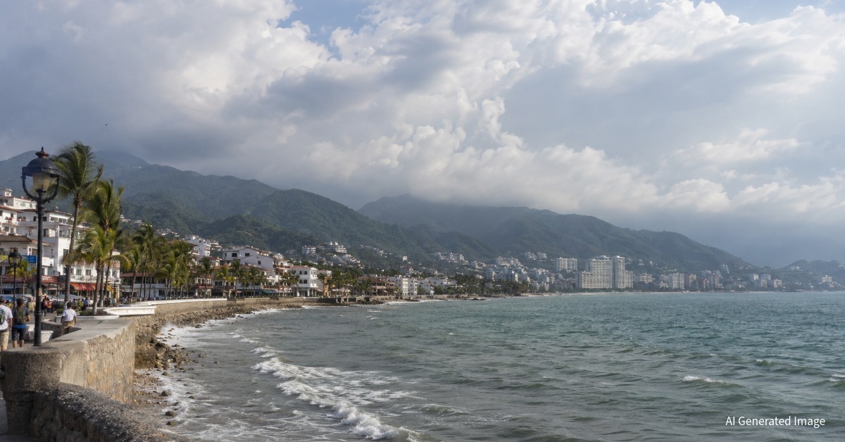
Puerto Vallarta has some protection from the shape of Banderas Bay. That helps, especially compared with more exposed Pacific beaches. But it does not cancel out rough water. On a day like this, a short break in the clouds should not be mistaken for calm ocean conditions, particularly around rocky edges, open stretches of beach, and small boats.
Amanda stays offshore but keeps the season active
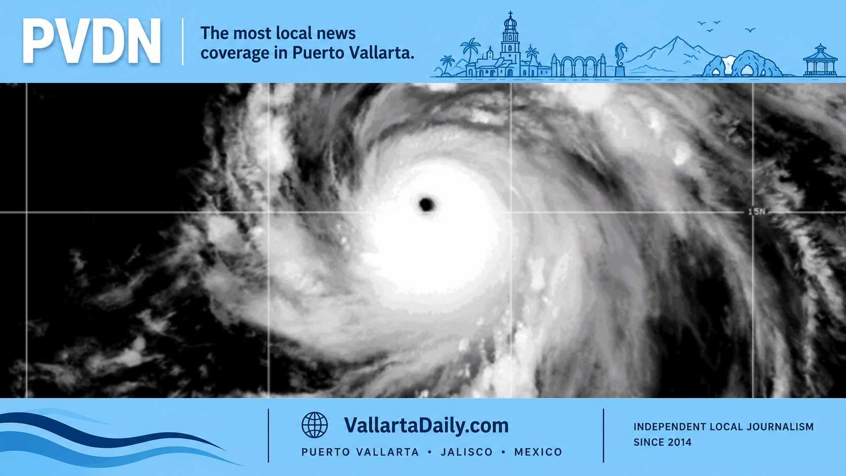
Tropical Storm Amanda remained active in the eastern North Pacific on Saturday morning. The National Hurricane Center said Amanda was holding steady, while its broader outlook showed no new tropical cyclone formation expected over the next seven days.
Amanda is not being treated as a direct result of the Puerto Vallarta storm. It is better understood as part of the early-season tropical activity now forming off Mexico’s Pacific side. Vallarta Daily previously tracked the system in coverage of Tropical Storm Amanda, as Mexico watched the first named storm of the season and other offshore disturbances.
For Puerto Vallarta, June 6 looks like a humid, uneven weather day. The city forecast calls for a hot, partly cloudy day. The broader alerts keep rain pockets, thunderstorms, and higher surf in play along the Jalisco coast.