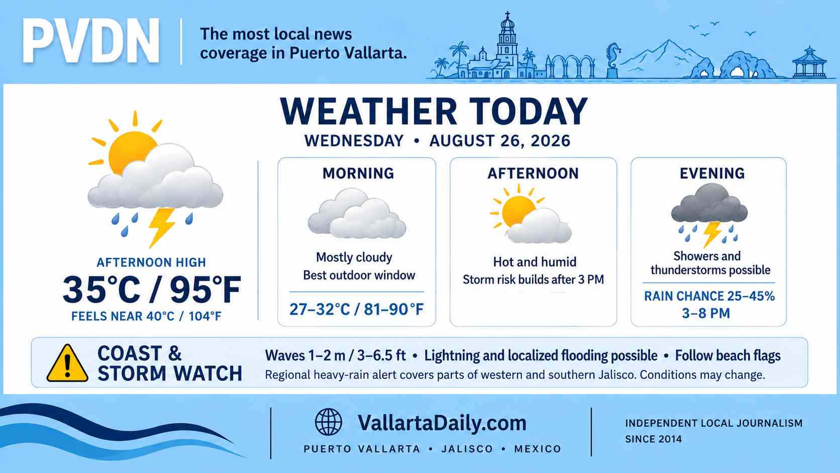
Puerto Vallarta, Jalisco, August 26, 2026 – Puerto Vallarta began Wednesday under mostly cloudy skies, with temperatures near 26–27°C (79–81°F) at 6:20 a.m. local time. An airport-linked weather feed reported light rain and passing clouds.
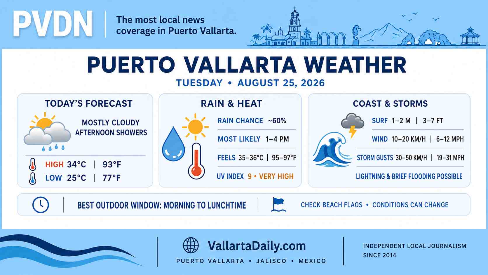
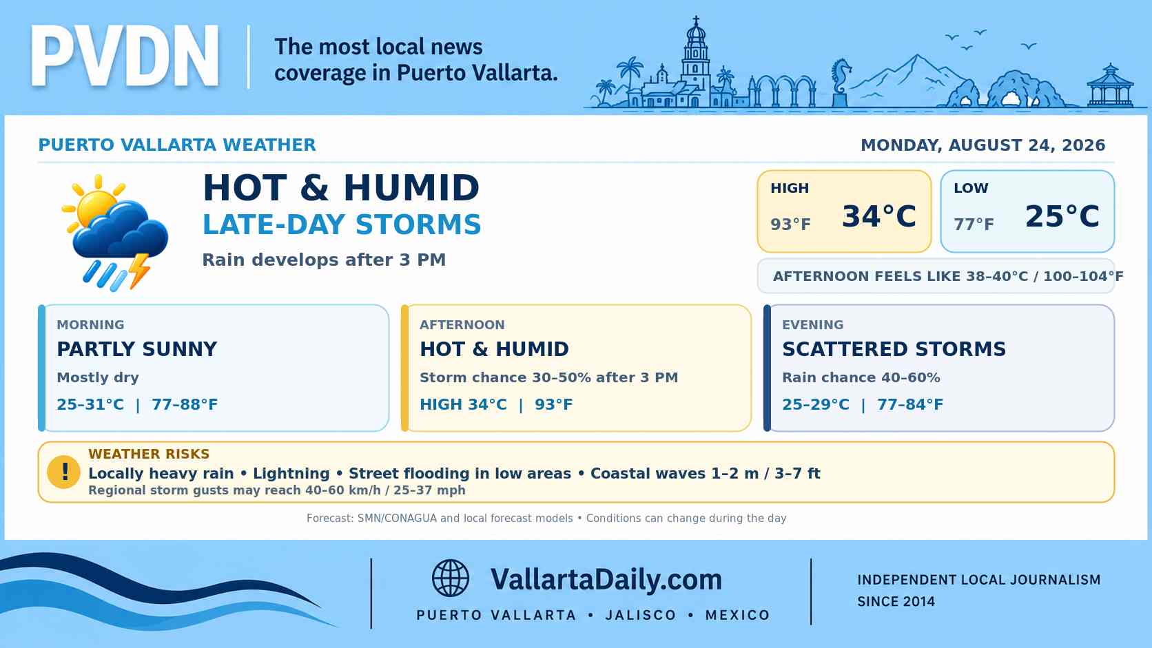
Early-morning humidity was near 80%. The temperature is expected to reach 34–35°C (93–95°F) this afternoon, with the heat index approaching 40°C (104°F) between midday and 3 p.m.
Local forecasts place today’s rain chance between roughly 25% and 45%. Showers may begin during the late afternoon, with the main thunderstorm window from about 3 p.m. through 8 p.m.
Heat peaks before the storm window
Cloud cover may break at times during the morning, allowing temperatures to rise quickly. The hourly forecast shows the apparent temperature exceeding 38°C (100°F) around noon and remaining near that level through midafternoon.
Outdoor work, exercise and longer walks will be more comfortable early in the morning. Anyone outside during the hottest hours should carry water and take breaks in the shade.
Jalisco rain alert carries local flooding risk
The 6:00 a.m. forecast from Mexico’s National Meteorological Service calls for 75–150 millimeters (3–6 inches) of rain in parts of western and southern Jalisco.
That is a regional forecast, not a predicted rainfall total for every part of Puerto Vallarta. City-level forecasts show a lower probability of rain, but tropical storms can be highly localized and produce heavy rainfall over a small area.
Any strong cell that develops over the municipality could bring lightning, brief visibility reductions and fast water accumulation on low-lying streets. Drivers should avoid flooded underpasses, stream crossings and roads where the depth of standing water cannot be judged.
Winds and sea conditions
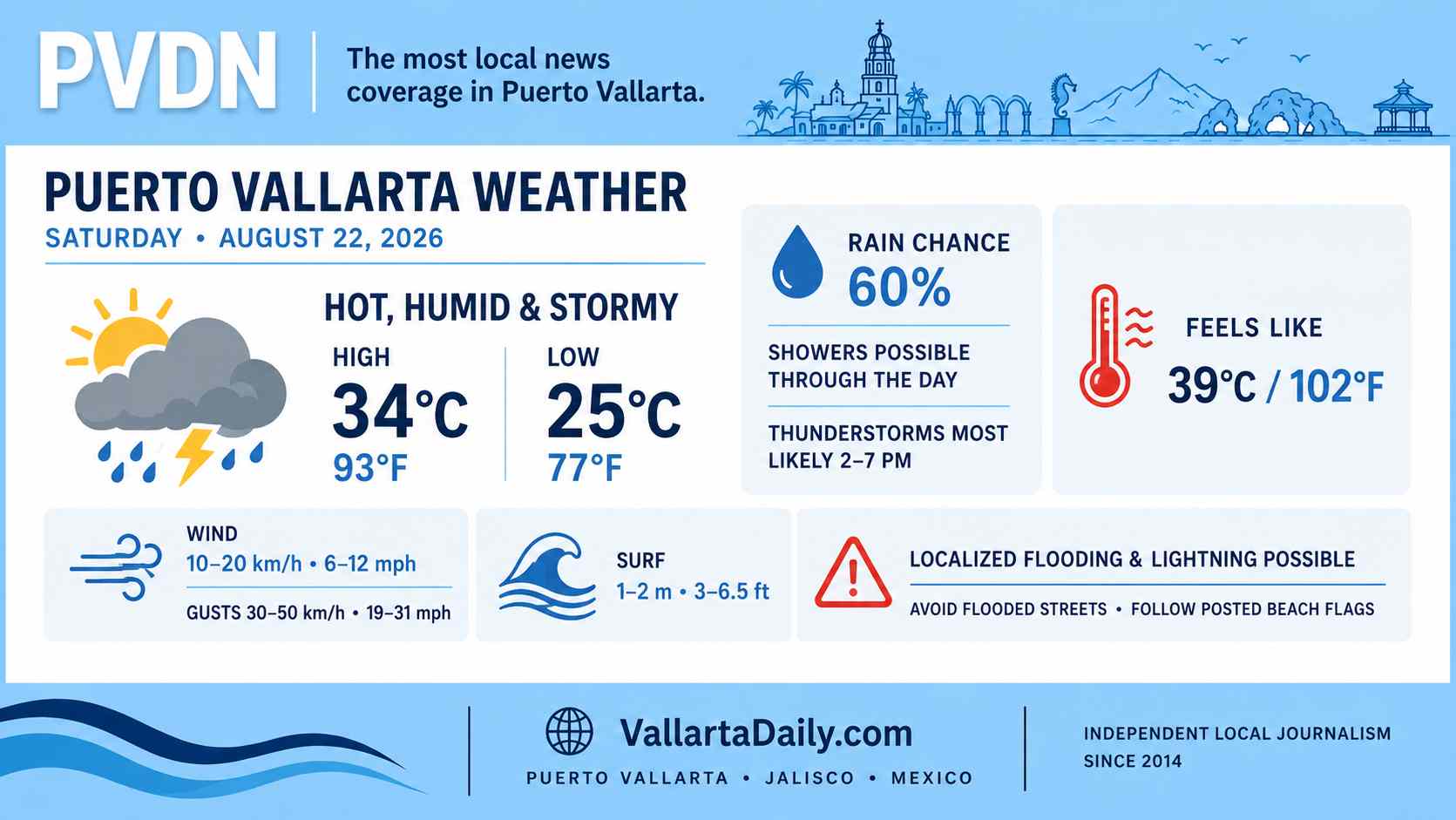
Surface winds around Puerto Vallarta should remain light for much of the day. Stronger gusts are possible near thunderstorms. The national forecast allows for gusts of 40–60 km/h (25–37 mph) in parts of Jalisco, although those speeds are not expected as steady local winds.
The same bulletin forecasts waves of 1–2 meters (3–6.5 feet) along the Jalisco coast. Conditions will vary by beach and may change quickly near a storm. Swimmers should check the posted beach flag before entering the water and leave the beach when thunder is heard.
Best window for errands and outdoor plans
Morning through early afternoon offers the better window for appointments, beach time and travel across the city, although heat will become uncomfortable before midday.
People with evening plans should carry rain protection and allow extra travel time if storms develop. Forecast timing and rainfall coverage can change during the day, especially along the coast and near the mountains.