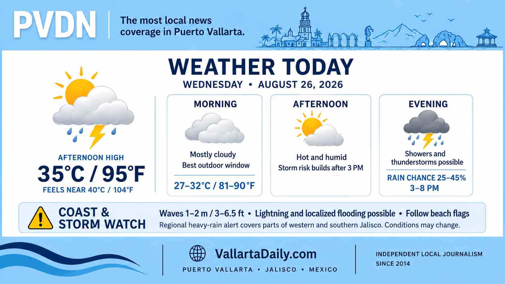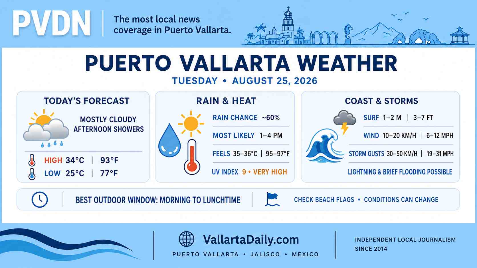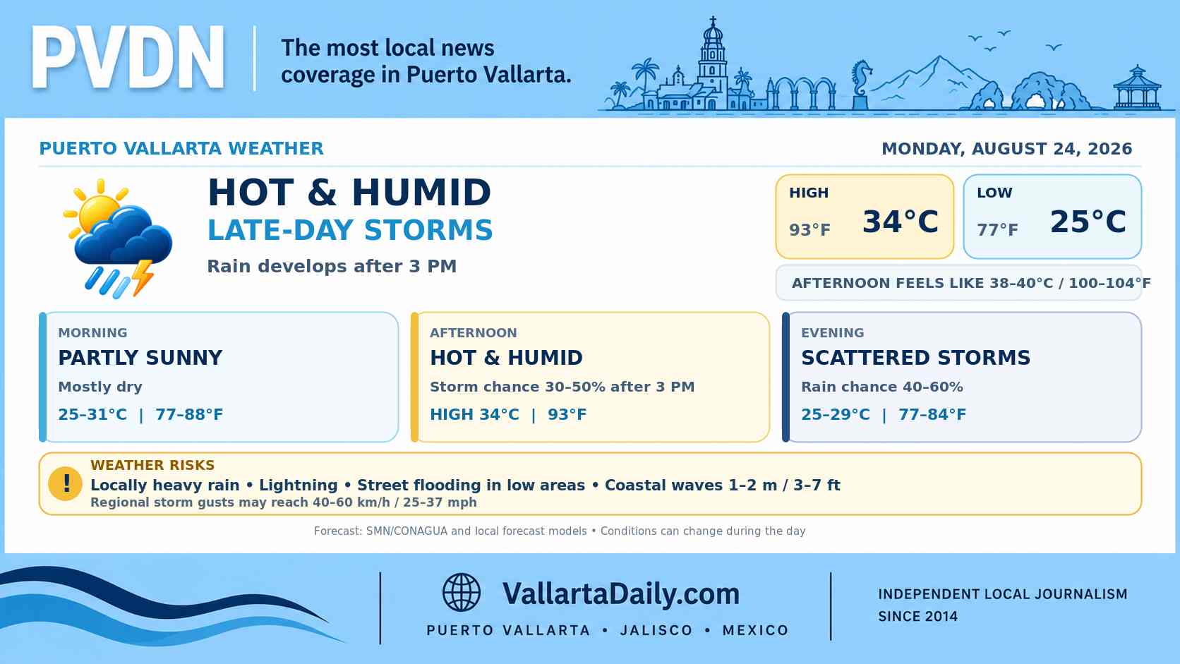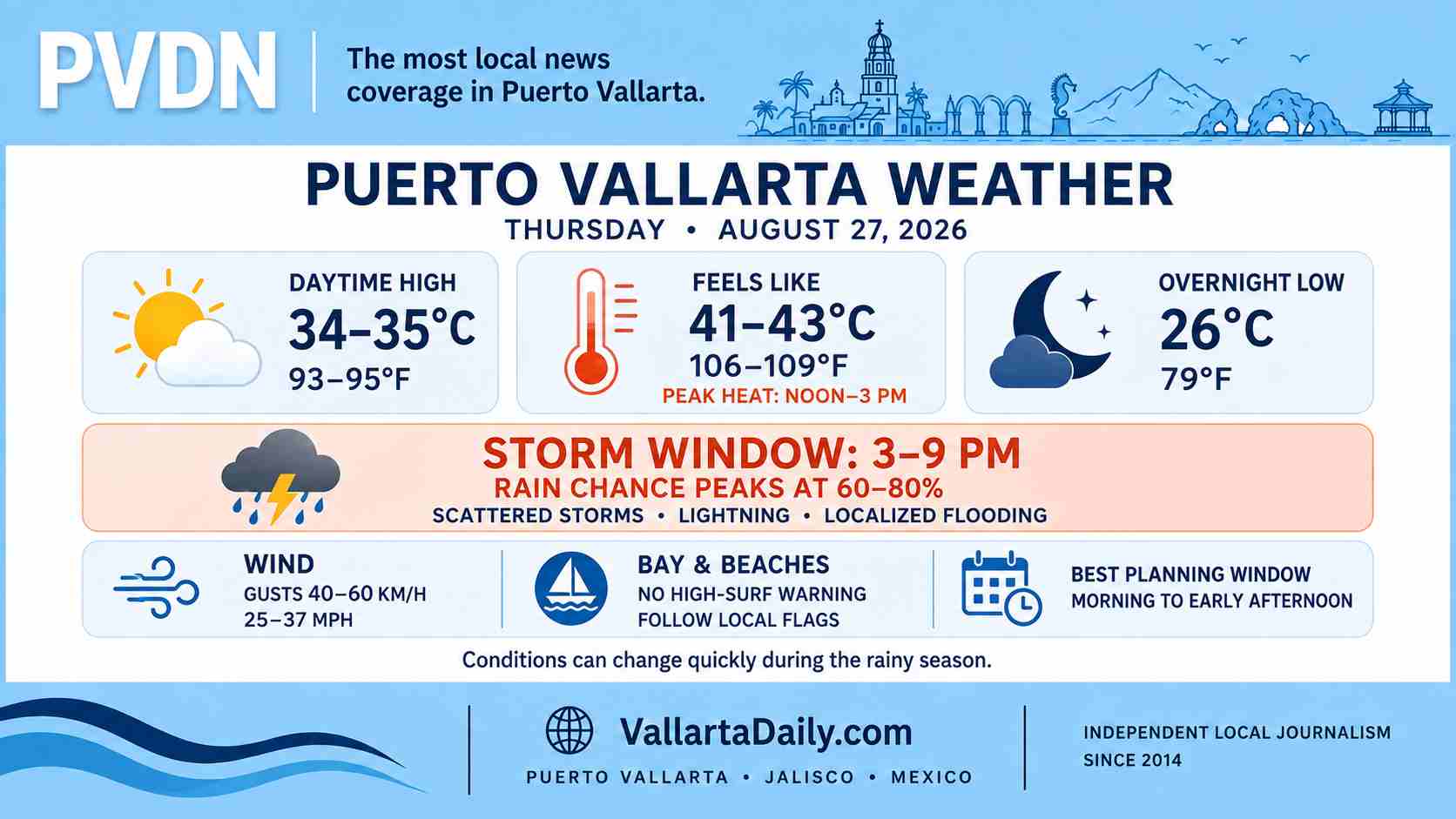
Puerto Vallarta, Jalisco, August 27, 2026 – At 6:20 a.m. Central Mexico time, current conditions were mostly cloudy at about 27°C (80°F), with a heat index near 31°C (88°F). City-center hourly data showed humidity near 80% and a light northeast wind.
Temperatures are forecast to reach 33°C to 35°C (91°F to 95°F). Humidity could push the heat index to 41°C to 43°C (106°F to 109°F) between noon and midafternoon.
The morning should remain mostly dry. Current city forecasts differ later in the day: one keeps the afternoon rain chance near 20% and peaks at 47% around 9 p.m.; a second hourly forecast raises the chance to 60% to 80% from 3 p.m. to 5 p.m., with another storm signal near 7 p.m. For planning, treat 3 p.m. through 9 p.m. as the main rain and lightning window.
Stronger cells could overwhelm low spots
The SMN forecast issued at 6 a.m. places southwest Jalisco in a regional rainfall band of 50 to 75 millimeters (2 to 3 inches) for Thursday. That is a regional maximum, not a specific accumulation forecast for Puerto Vallarta.
The agency said stronger storms could bring lightning, reduced visibility, sharp wind gusts and possible hail. Heavy downpours may cause ponding or localized flooding in low areas. Drivers should avoid water-covered underpasses and crossings if a storm settles over the city.
Wind and conditions on the bay
The SMN expects winds of 20 to 30 km/h (12 to 19 mph) in parts of Jalisco, with gusts reaching 40 to 60 km/h (25 to 37 mph). Sustained winds in Puerto Vallarta are forecast to remain lower, but thunderstorms could produce sudden stronger gusts.
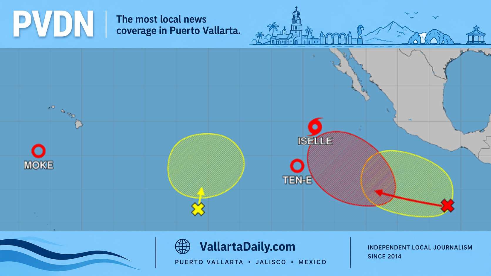
Thursday’s national bulletin does not include the Jalisco coast in its 1- to 2-meter (3- to 7-foot) elevated-surf forecast. The latest Eastern Pacific outlook also keeps a developing low about 1,450 kilometers (900 miles) south of Baja California moving well offshore, with no direct tropical cyclone threat indicated for Puerto Vallarta.
Conditions can still become rough near thunderstorms. Swimmers and boat operators should follow lifeguard flags and port instructions available at the time of departure.
Use the morning before conditions turn
Morning offers the better window for outdoor plans. Limit strenuous activity during the noon heat and allow extra travel time from midafternoon through the evening.
Move indoors when thunder is heard and do not wait for rain to begin before leaving the water. Forecasts can change quickly; the next SMN national bulletin is due at 6 p.m., or earlier if conditions shift significantly.