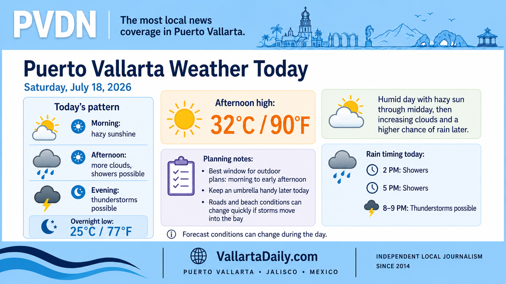
Puerto Vallarta, Jalisco, July 18, 2026 – At 6:20 a.m. local time, Puerto Vallarta was mostly cloudy at 26°C (79°F), according to the latest city forecast. Humidity was close to 90%, with light wind.
The temperature is expected to reach about 32°C (90°F) this afternoon, followed by an overnight low near 25°C (77°F). High humidity will make the afternoon feel warmer than the measured temperature.
Brief showers are possible during the morning, while the more consistent thunderstorm window runs from late morning through approximately 4 p.m. Hourly precipitation probabilities generally range from 30% to 42%, with rain becoming less likely during the evening.
Rain and thunderstorms may remain scattered
Rain is not expected to fall continuously across the city. Conditions may vary considerably between the airport, Hotel Zone, Centro, the southern neighborhoods, and higher terrain surrounding the bay.
The federal weather outlook places western Jalisco within a broader region where localized rainfall totals of 50 to 75 millimeters, or roughly 2 to 3 inches, could occur between 8 a.m. Saturday and 8 a.m. Sunday.
That regional forecast does not mean those totals will fall throughout Puerto Vallarta. A strong localized storm could still produce lightning, reduced visibility, and temporary flooding on low-lying or poorly drained streets.
Drivers should avoid crossing water-covered roads and allow additional travel time if a storm develops over the city or the mountain routes south and east of Puerto Vallarta.
Humidity will increase the afternoon heat
Humidity is forecast to remain near 75% during the afternoon. Even with extensive cloud cover, the apparent temperature could approach 35°C (95°F), particularly during breaks in the clouds.
Outdoor work, exercise, and extended walking will be more comfortable during the morning. Water, shade and lighter clothing will remain useful throughout the day.
Coastal waters may be unsettled
Mexico’s federal forecast calls for waves of approximately 1 to 2 meters, or 3 to 7 feet, along the Jalisco coast.
The marine forecast from Mexico’s Navy projects winds of 5 to 10 knots along the central Pacific coast, with gusts reaching 15 to 20 knots and offshore waves of 5 to 7 feet from 8 a.m. Saturday through 8 a.m. Sunday.
Conditions inside the shelter of Banderas Bay can be calmer than those along the open coast. Boat passengers should still confirm departures with their operator, while swimmers should follow posted beach flags and lifeguard instructions.
An offshore disturbance remains under observation
At 6 a.m. Puerto Vallarta time, the National Hurricane Center’s eastern Pacific outlook reported a broad low-pressure area several hundred miles south-southwest of southwestern Mexico.
The system had a 90% chance of becoming a tropical depression within 48 hours and was moving west-northwest at 16 to 24 km/h, or 10 to 15 mph. It remains offshore, but its surrounding moisture contributes to unsettled weather and marine conditions along Mexico’s Pacific coast.
A workable morning with flexible afternoon plans
Morning activities remain possible, although a passing shower cannot be ruled out. Plans from late morning through the afternoon should include access to shelter, particularly for beach visits, outdoor events and travel through flood-prone streets.
Forecasts, beach flags and marine restrictions can change quickly when thunderstorms form near the bay.