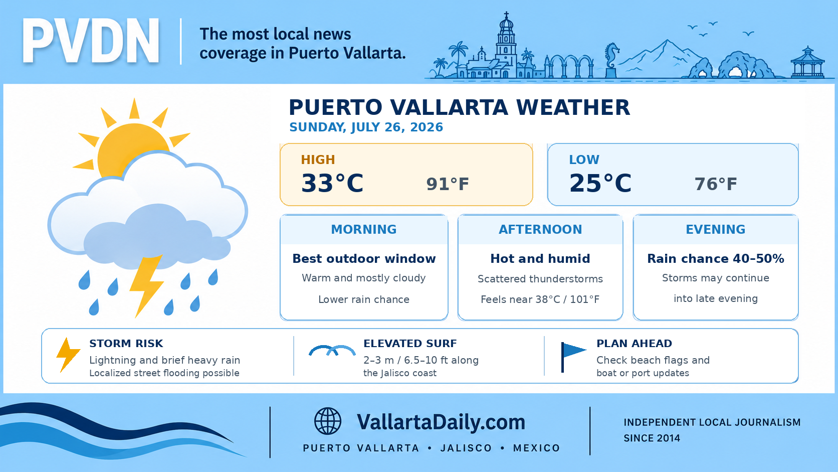
Puerto Vallarta, Jalisco, July 26, 2026 – Puerto Vallarta started Sunday mostly cloudy and humid, with a temperature near 25°C (77°F) at 6:50 a.m. local time.
The temperature is forecast to reach about 33°C (91°F) this afternoon. Humidity will make it feel closer to 38°C (101°F) during the hottest part of the day. The overnight low should remain near 25°C (76°F).
Scattered thunderstorms are possible this afternoon, with rain becoming more likely toward the evening. Conditions may change quickly if storms develop over the mountains and move toward the bay.
Rain risk increases later Sunday
The hourly forecast for Puerto Vallarta shows a relatively limited chance of rain during the morning. Thunderstorm chances begin increasing after midday and rise to about 40% by 6 p.m., 45% to 50% between 7 p.m. and 10 p.m., and slightly above 50% late Sunday night.
Mexico’s National Meteorological Service placed western Jalisco within an area that could receive strong to very strong rainfall, with localized totals of 50 to 75 millimeters, or roughly 2 to 3 inches. That is a regional forecast and does not mean every Puerto Vallarta neighborhood will receive that amount.
Any stronger storm could bring lightning, short periods of heavy rain and localized street flooding. Drivers should allow extra time after storms begin and avoid crossing flooded streets or fast-moving water near rivers and drainage channels.
Elevated surf along the Jalisco coast
The federal forecast calls for waves of 2 to 3 meters, or approximately 6.5 to 10 feet, along the Jalisco coast. Winds across the state could produce gusts of 30 to 50 km/h, or 19 to 31 mph, although winds within Puerto Vallarta may remain lighter outside thunderstorms.
Hurricane Genevieve was about 800 kilometers, or 500 miles, south-southwest of Manzanillo at 2 a.m. Sunday and moving west-northwest. The latest hurricane advisory listed no coastal watches or warnings for Mexico, but swells generated by the storm were affecting parts of the country’s southwestern coast.
Beach conditions can vary considerably inside Banderas Bay. Swimmers should check the flag posted at the beach, remain near lifeguarded areas and stay out of the water where red flags are displayed. Boat passengers should confirm departures directly with their operator because port restrictions can change during periods of high surf or thunderstorms.
Best window for outdoor plans
Morning remains the more reliable period for errands, beach visits and outdoor work. Heat and humidity will build by midday, followed by a greater chance of thunderstorms from the afternoon into Sunday night.
Carry rain protection if returning late, and leave the beach or other exposed areas when thunder is heard. Forecast timing, rainfall totals, and maritime conditions can change during the day.