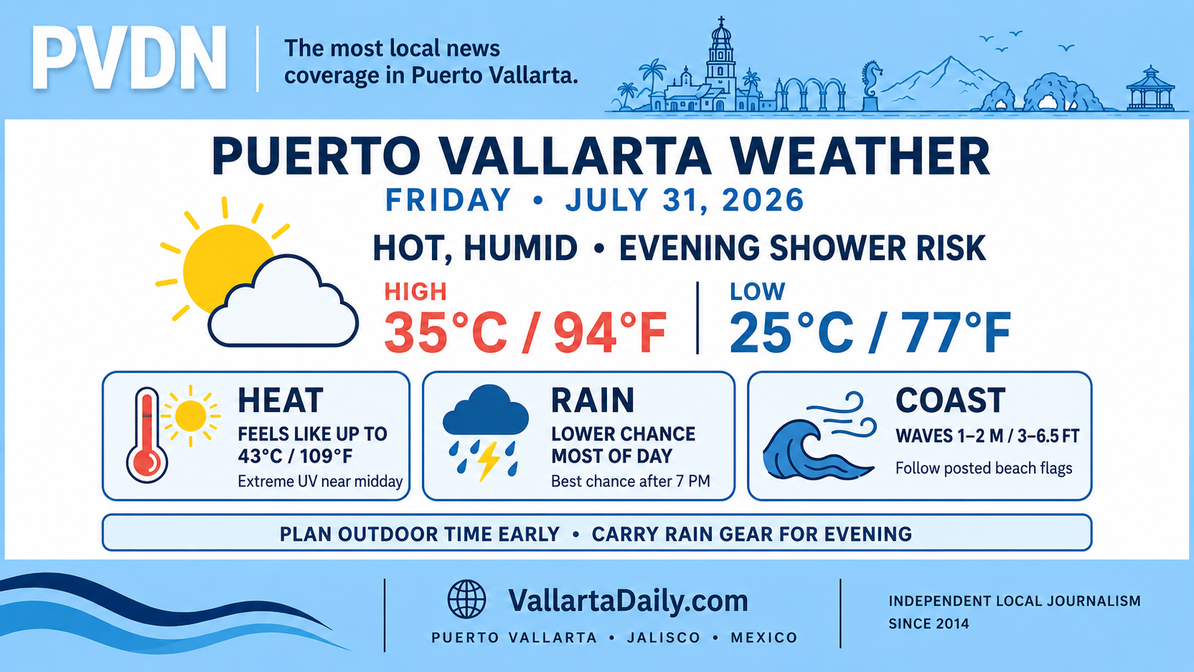
Puerto Vallarta, Jalisco, July 31, 2026 – Light rain was reported near Puerto Vallarta International Airport at approximately 6:25 a.m., with a temperature near 25°C (77°F). Humidity was around 91%, making it feel closer to 30°C (86°F).
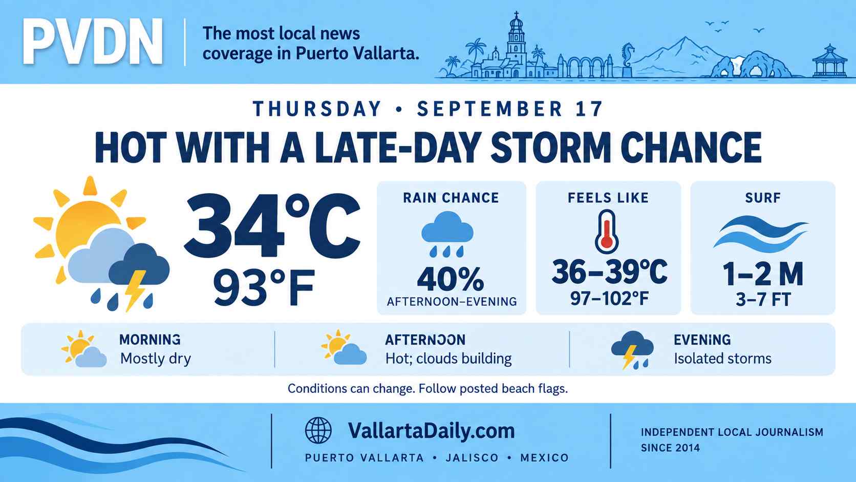
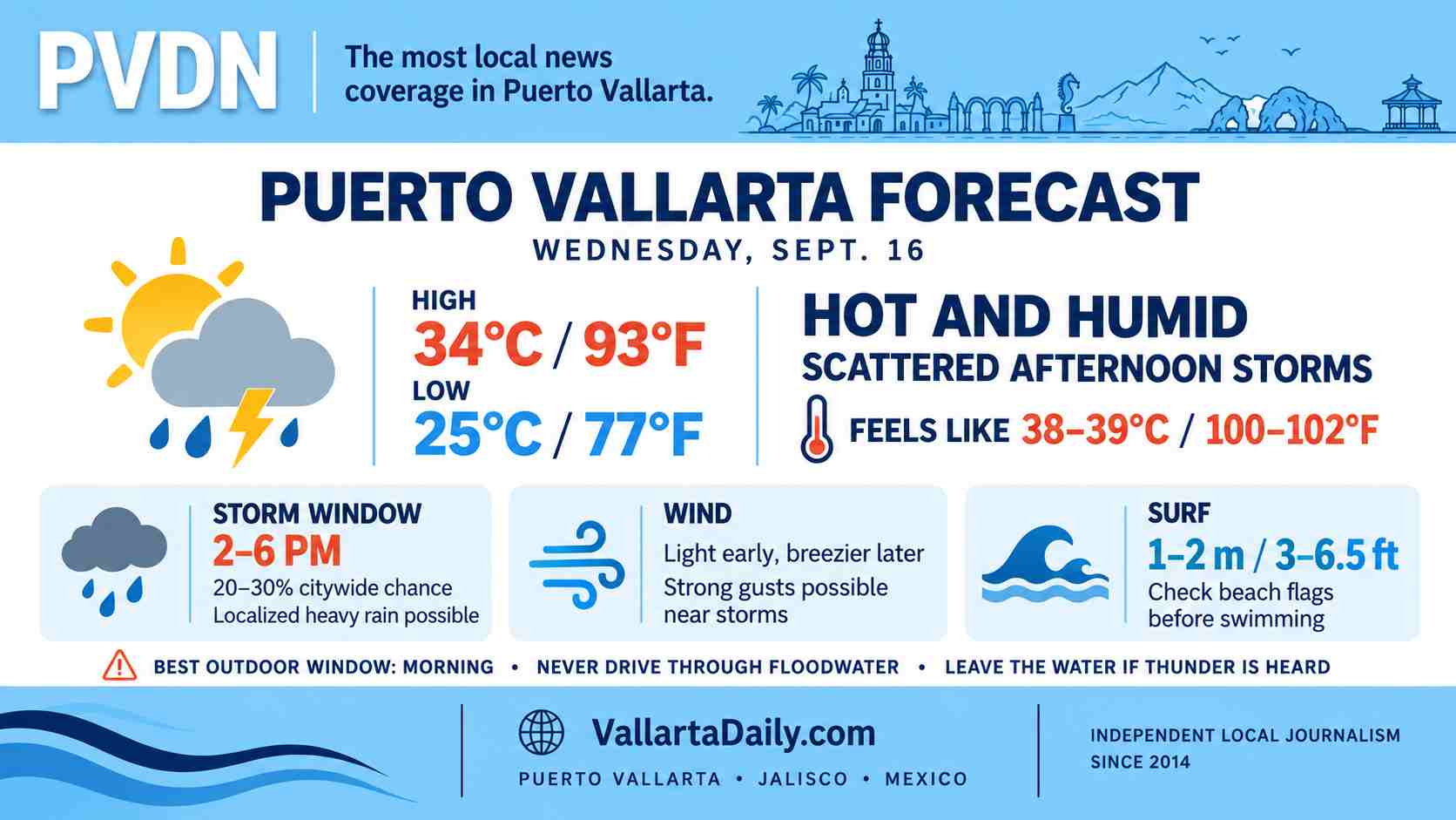
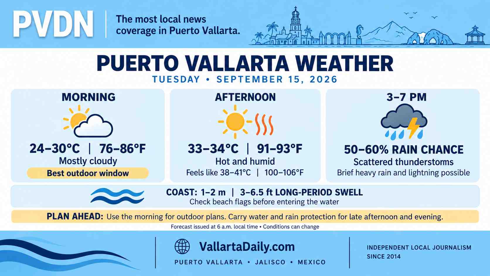
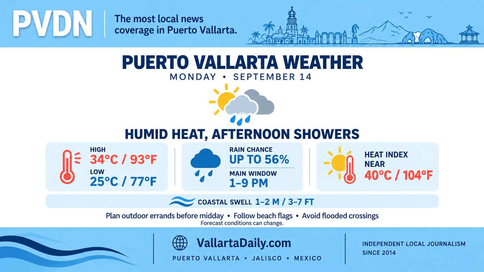
Clouds should break at times during the morning as temperatures climb. The afternoon high is forecast near 35°C (94°F), with the heat index potentially reaching 43°C (109°F) between 1 p.m. and 4 p.m.
Rain chances remain uneven across available forecasts. Hourly guidance keeps the probability relatively low throughout most of the morning and afternoon, then shows a possible increase after 7 p.m. Conditions can change quickly when storms develop over the mountains east of the city.
Hot and humid through the afternoon
Temperatures are expected to reach 32°C to 35°C (90°F to 94°F) during the hottest part of the day. Humidity should remain near 60% to 65% during the afternoon, resulting in heat index readings above 40°C (104°F).
The UV index is forecast to reach the extreme range around midday. Outdoor work, exercise, and extended beach time will be more comfortable before 10 a.m. or after 4 p.m., although humidity will remain high.
Winds should remain generally light, shifting from the northeast in the morning to the west or southwest in the afternoon. Sustained speeds are expected around 5–15 km/h (3–9 mph).
Rain risk increases later in the day
The hourly Puerto Vallarta forecast places rain chances near 20% early Friday, falling during the late morning and returning during the afternoon. The probability rises to about 35%–41% around 7 p.m. and 8 p.m., when passing showers or an isolated thunderstorm are possible.
The official regional forecast is more cautious. It calls for scattered showers with localized rainfall totals of 25–50 millimeters across western, central and southern Jalisco, accompanied by lightning and possible hail.
That regional rainfall range does not mean every part of Puerto Vallarta will receive heavy rain. Any strong storm that forms could still produce brief street flooding, reduced visibility and rapid runoff in low-lying areas.
Surf and beach conditions
The official forecast calls for waves of 1–2 meters, or approximately 3–6.5 feet, along the Jalisco coast. Swimmers should follow the flag posted at each beach and avoid entering the water during lightning, strong currents, or sudden increases in wave activity.
No citywide port closure was confirmed in the early-morning information reviewed. Maritime conditions and beach flags may be updated during the day.
Best windows for Friday plans
The morning is the most dependable time for errands, road travel, and outdoor activities. Anyone spending time outside between noon and 4 p.m. should plan for high heat index values, strong sun, and limited shade.
Drivers should allow extra time if rain develops later Friday, particularly near flood-prone intersections, underpasses and streets receiving runoff from the hills. Keep rain gear available for evening plans, and check the radar or local civil protection notices before traveling if thunder becomes audible.