Boris formed close to the Guerrero coast and then slowed, a small change with a bigger flood concern behind it. Federal forecasters now expect the storm to make landfall later than initially projected, while heavy rain spreads across parts of southern and central Mexico. The warning area is narrow on the map, but the rain field is not. Officials have already moved emergency plans into prevention mode as coastal surf rises and mountain communities face another long night of rain.
Boris crawls toward Guerrero
Tropical Storm Boris sat just offshore of Guerrero on Monday afternoon. It was close enough to push heavy rain onto southern Mexico, yet slow enough to keep the flood threat in place.
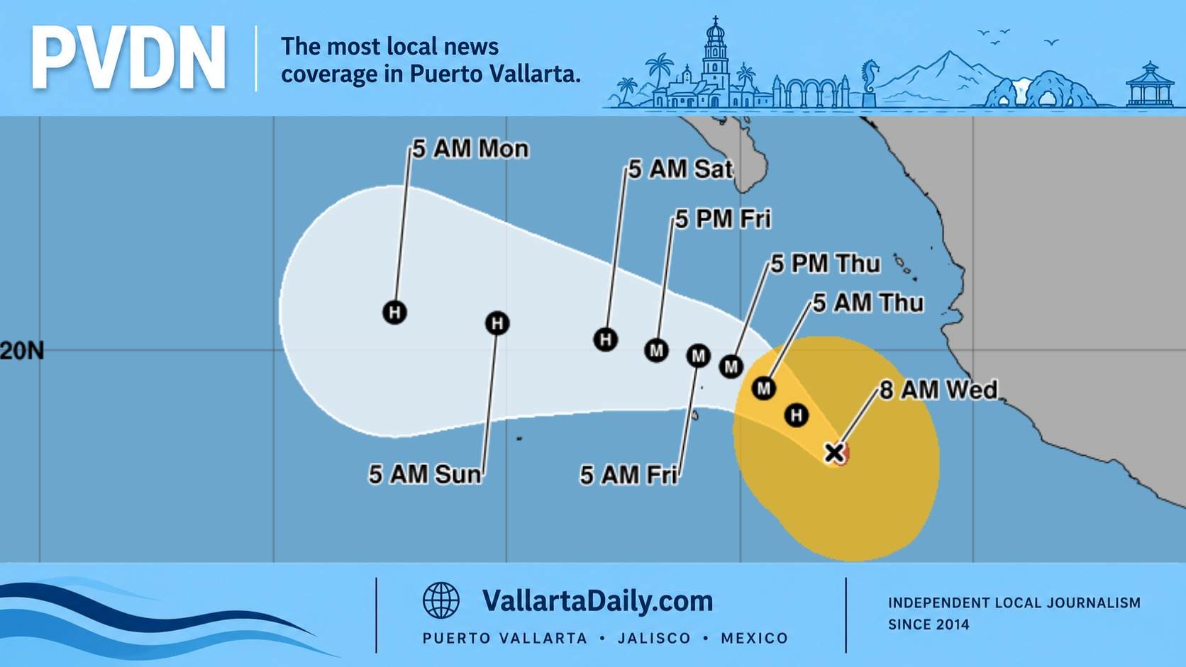
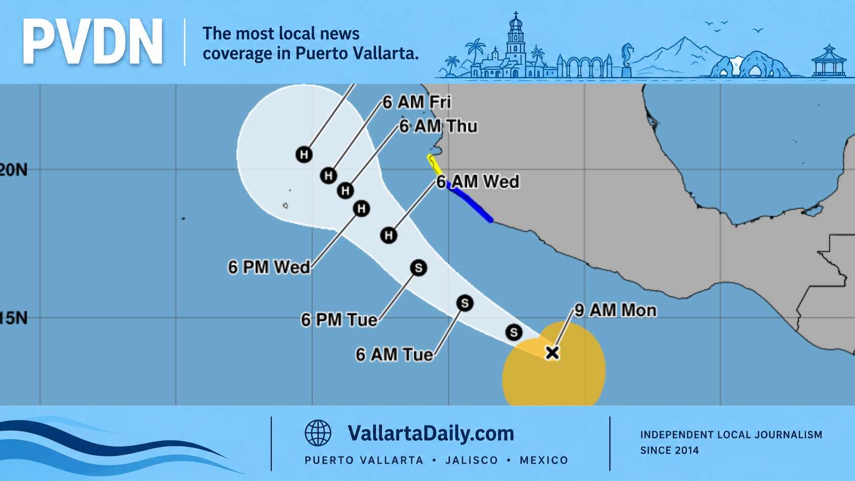
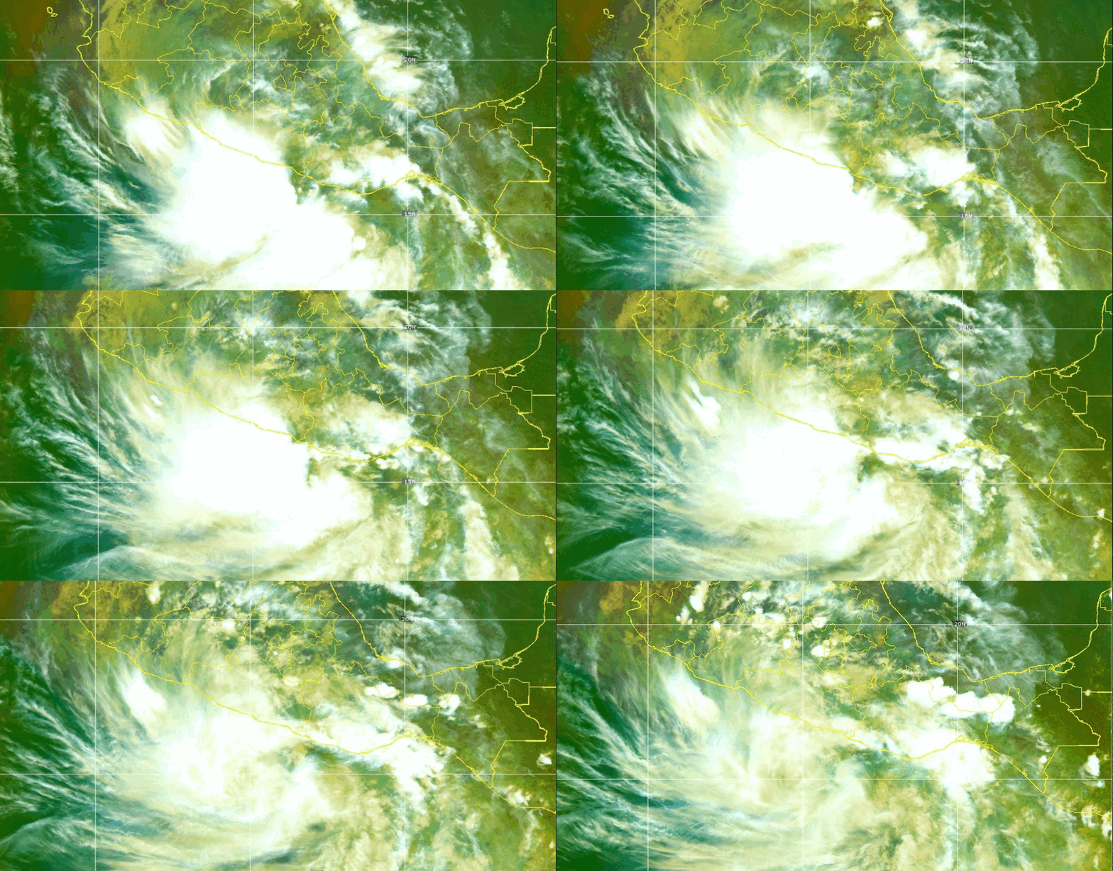
The storm’s center was near 15.5 north and 99.0 west at 3 p.m. CST, according to the latest tropical storm advisory. That put Boris about 185 kilometers south-southeast of Acapulco and 100 kilometers south-southwest of Punta Maldonado. Its top sustained winds were near 75 kilometers per hour, with stronger gusts.
The timing changed during the day. Earlier Monday, Boris was expected to move ashore in Guerrero before nightfall. By midafternoon, forecasters said the center should reach the Guerrero coast by early Tuesday.
A tropical storm warning remained in effect from Laguna de Chacahua, Oaxaca, to Tecpan de Galeana, Guerrero. Tropical-storm-force winds stretched up to 95 kilometers from the center.
The warning zone covers a coast with steep hills, river mouths, and towns that can flood fast.
“This rainfall may produce life-threatening flooding and mudslides, especially in areas of steep terrain,” the National Hurricane Center said.
Heavy rain spreads beyond the coast
Mexico’s weather service forecast torrential rain between 150 and 250 millimeters in southern and coastal Guerrero and western Oaxaca in its national rainfall forecast for Monday.
The same forecast called for heavy rain in Colima, parts of Jalisco, and parts of Michoacán. Very heavy rain was expected in the southwestern part of the Estado de México. Morelos and southern and western Mexico City were also in line for strong downpours.
That put eight areas in the storm’s rain field, even though the named storm stayed focused on the Pacific coast. Guerrero and Oaxaca faced the clearest direct risk from tropical moisture. Farther inland, Boris fed an already wet pattern over central and western Mexico.
The National Hurricane Center expected Boris to bring another 3 to 6 inches of rain across coastal Guerrero and Oaxaca through Tuesday. Some spots could reach 8 inches. That is about 75 to 150 millimeters, with pockets near 200 millimeters.
Surf was also part of the warning. Mexican forecasters expected high waves along the Pacific coast, with the roughest seas near Guerrero, Oaxaca, and Michoacán. Officials urged people to stay off beaches during dangerous surf and follow port limits as they are issued.
President Claudia Sheinbaum said federal agencies and local governments had put prevention plans in motion. The response included the Navy, the Defense Ministry, Conagua, the National Civil Protection Coordination, and state and city authorities.
“We ask people in Guerrero and Oaxaca, particularly along the coastal strip from Lagunas de Chacahua to Tecpan de Galeana, as well as people in Colima, Jalisco, Michoacán, and Nayarit, to remain attentive to official notices,” Sheinbaum said in a message urging precautions.
She added that heavy rain, high surf, and mar de fondo were expected. “Prevention and timely information are essential to protect life and family property,” she said.
Guerrero prepares for a wet night
Guerrero entered the storm with schools already suspended in several regions because of Tropical Depression Two-E, the system that became Boris. The suspension covered the Sierra, Costa Grande, Acapulco, Costa Chica, Centro and Montaña regions, according to public notices cited in Monday storm updates.
Boris is the second named storm of the 2026 Eastern Pacific hurricane season. Amanda formed earlier this month far from land. Boris formed close enough to Mexico to trigger warnings within hours.
The Eastern Pacific season began May 15, and Mexico had already been watching an above-normal setup. Vallarta Daily covered that outlook in its report on the Pacific hurricane season and El Niño risk.
Puerto Vallarta is outside Boris’s direct warning zone. Still, the storm belongs to the same unsettled Pacific pattern that pushed rough surf and rain concerns north along Mexico’s coast. Vallarta Daily noted that it set up its Pacific storm watch for Puerto Vallarta, published before Boris fully organized.
Boris is not forecast to become a hurricane before landfall. That does not remove the danger. A slow tropical storm can do its worst work through water, especially where mountains meet short coastal rivers.
Forecasters said Boris should weaken quickly once its center crosses southern Mexico. Rain bands, though, can continue to cause floods even after the center moves inland or starts to fall apart.