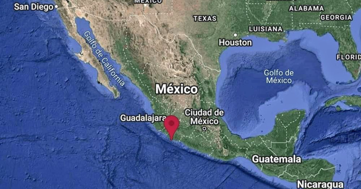
On September 19, a magnitude 7.7 tremor was recorded in Jalisco at 1:05 p.m. with an epicenter in Coalcomán, Michoacán.
From that day and until 6:00 p.m. on September 23, 1,719 aftershocks have occurred, the one that occurred on Thursday was the strongest with a magnitude of 6.9, and woke up the people of Puerto Vallarta when it struck at 1: 16 in the morning.
The primary earthquake was recorded exactly on the same day as the tremors that occurred in 1985 and 2017 that left . . .
CONTINUE READING THIS NEWS ARTICLE BY BECOMING A PVDN SUBSCRIBER!
>> SUBSCRIBE TO OUR NEWS ON WHATSAPP CHANNELS HERE (FROM YOUR CELL PHONE!)<<
Popular posts:
 Citizens of Puerto Vallarta Still Feel Safe Putting The City in Seventh Place in the Country Puerto Vallarta, Jalisco, continues to shine as one of Mexico's safest cities, securing its position among the nation's top 10 cities where citizens feel most secure, according to the latest National Urban Public Safety Survey (ENSU) conducted by INEGI. The survey, which evaluates citizen perceptions of safety, covers the first quarter of the year and…
 Unchecked Growth of Platforms Like Airbnb is Ruining Puerto Vallarta Puerto Vallarta, Mexico - In Puerto Vallarta, the proliferation of digital lodging platforms, notably Airbnb, has sparked a surge in real estate development over the past decade, particularly in central areas of the municipality. This trend, as highlighted by Alfonso Baños, a researcher and doctor in City, Territory, and Sustainability at the University of Guadalajara…
 Increase in Extortion Attempts Rattles Puerto Vallarta’s Business Sector Puerto Vallarta, Mexico - In recent weeks, Puerto Vallarta's business community has been shaken by a surge in extortion attempts, with between 12 and 16 cases reported in just the last two weeks alone. This concerning trend was highlighted by the newly appointed president of the Business Coordinating Council (CCE), Juan Pablo Martínez Torres, who…
 Puerto Vallarta Gears Up for the 2024 Marathon Puerto Vallarta is abuzz with anticipation as it braces to host the fifth edition of its renowned Marathon, slated to kick off on April 21. This eagerly awaited sporting spectacle has firmly entrenched itself as a highlight on the global athletic calendar, drawing participants from diverse corners of the world. The 2024 Puerto Vallarta Marathon…
 Puerto Vallarta Welcomes Record-Breaking Cruise Visitors, Boosting Local Economy Puerto Vallarta, Mexico - Puerto Vallarta, known as the "green pearl of the Mexican Pacific," has marked an impressive start to the year, welcoming a staggering 177,000 passengers aboard 58 cruise ships during the first quarter. These figures, revealed by the Administration of the National Port System (ASIPONA), reflect a substantial economic injection of 21…
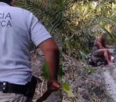 FAKE NEWS ALERT: American Reported Missing in Puerto Vallarta Found After Four Hours, Not Four Years Recent false claims circulating online regarding an alleged four-year disappearance of an American in the jungles of Puerto Vallarta have been debunked. The individual was actually reported missing on April 9 and found a mere four hours later, highlighting the swift and efficient response of local authorities in safeguarding the community. This incident underscores the…
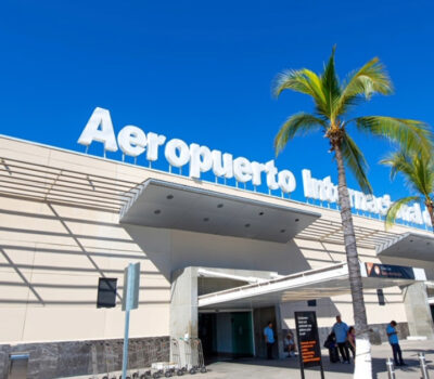 New Direct Flight from Prague to Puerto Vallarta Announced for Autumn-Winter Season In a move set to bolster international tourism to Puerto Vallarta, Jalisco, a new direct flight route from Europe has been unveiled, marking a significant expansion in the city's air connectivity. Beginning in October of this year and continuing through April 2025, travelers from the heart of Europe will have the opportunity to embark on…
 Part of Basilio Badillo Street in Puerto Vallarta is to Close for Two Months Puerto Vallarta, Mexico - In an effort to enhance infrastructure and improve the quality of transportation in the Emiliano Zapata neighborhood, the Puerto Vallarta City Council has announced the closure of a significant section of Basilio Badillo Street. The affected area, spanning from Insurgentes to Aguacate, will undergo extensive paving and infrastructure upgrades over the…
 Woman Fatally Shot by Husband in Puerto Vallarta On Tuesday evening, the Puerto Vallarta Municipal Police responded to a distress call from the medical personnel at the Social Security Clinic 42 Hospital. The call, received just minutes before 5:40 pm, reported a woman's death due to gunshot wounds. The incident unfolded when authorities were alerted to a grievous situation, indicating a domestic tragedy.…
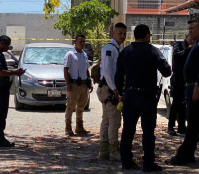 Municipal Police Officers Linked to Abuse of Authority Case in Puerto Vallarta Puerto Vallarta, Mexico - Two municipal police officers in Puerto Vallarta, identified as Nadia Araceli Esmeralda “N” and José Aldo “N”, have been formally linked to a legal process for the crime of abuse of authority. The decision came from Susana Azzaid Betancourt Flores, Control and Oral Judge of the Eighth District, based in Puerto…

