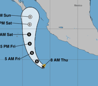
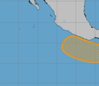
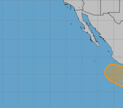
A tropical system is looking to take shape off of the coastline of western Mexico over the next few days. Though this system will likely be slow to develop, there is uncertainty in the exact track into next week.
Currently, some clouds off to the southwest of Acapulco, Mexico, are spinning a bit and continues to have storms circulating around the low pressure area.
This system is going to be pushing off to the west the next few days as it moves over the warm waters of the Eastern Pacific. Into early next week, there is some uncertainty on the track this will take next week. But AccuWeather.com meteorologist Andy Mussoline says “We will have to keep a close eye for tropical development next week. There is plenty of warm water to help spur development, but the cluster of showers and thunderstorms we are monitoring will battle wind shear through the week.”
There are two possible tracks for this storm. We could see this move off to the west and remain in the waters of the open Pacific Ocean. If this occurs, we may see a named storm, but we are not likely to see this affect any land when it weakens over the ocean.
Another possible track for this is turning off to the northeast by the beginning of next week and moving into southern Mexico. If this occurs, we could see some heavy rainfall over southern Mexico which could lead to flooding and mudslides.
Since this would remain a weaker system if it develops, AccuWeather.com meteorologists are not expecting this to bring strong winds or storm surge to the coast of Mexico regardless of the track.
No matter if this develops of not, this is just the beginning of tropical season for the Eastern Pacific as the season stretches from May 15 through November 15.
A tropical system is looking to take shape off of the coastline of western Mexico over the next few days. Though this system will likely . . .


