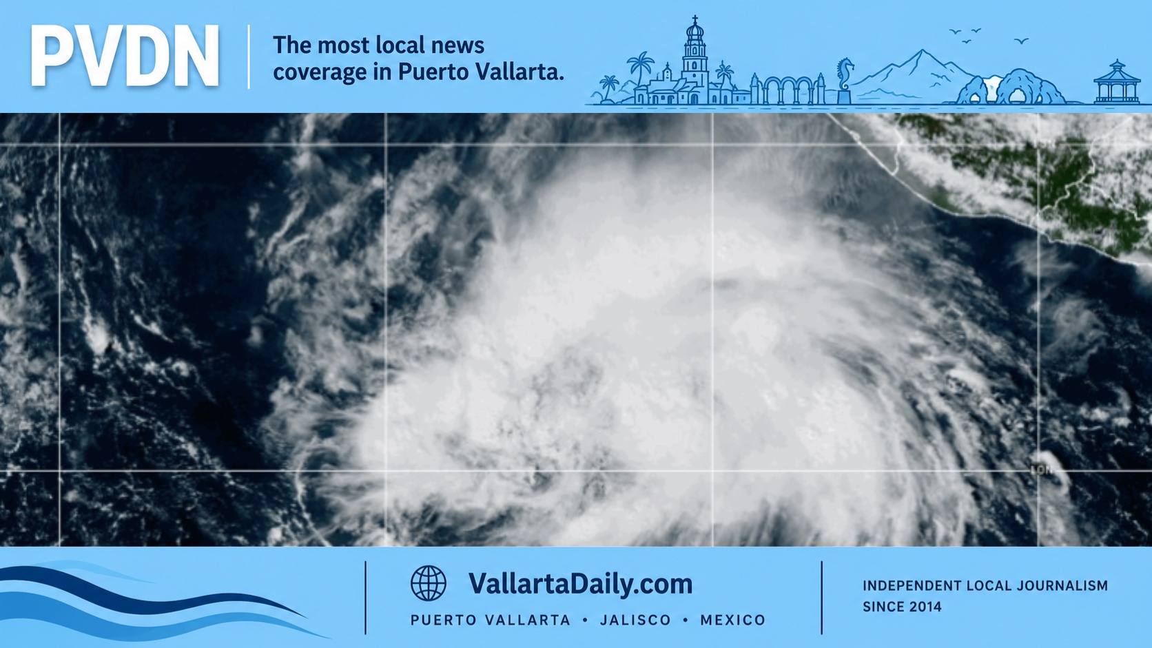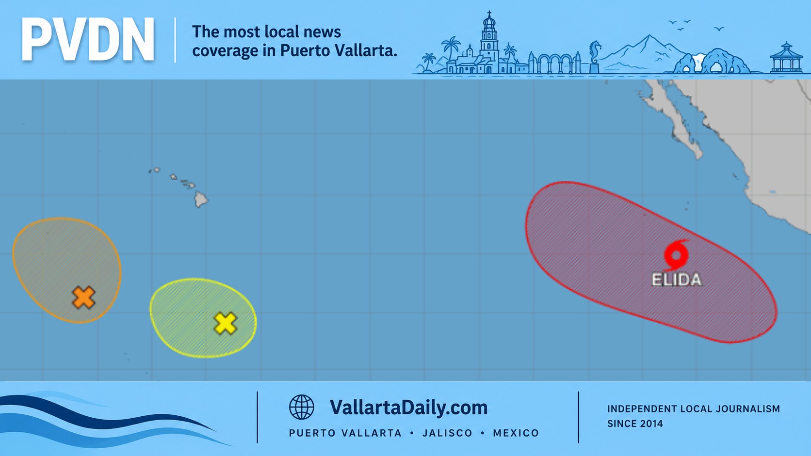
Puerto Vallarta, Jalisco, July 15, 2026 — Tropical Storm Elida formed early Wednesday in the eastern Pacific, nearly 950 kilometers southwest of Puerto Vallarta, with its forecast track carrying the cyclone farther away from Mexico before a gradual turn toward the northwest.
The storm had sustained winds of 65 kilometers per hour when the National Hurricane Center issued its 2 a.m. Mountain Time advisory. Its center was near latitude 14.9 north and longitude 111.8 west, about 910 kilometers south-southwest of the southern tip of Baja California. A Vallarta Daily calculation using those coordinates placed Elida roughly 945 kilometers southwest of Puerto Vallarta at the time of the advisory.
No coastal watches or warnings were in effect, and the hurricane center listed no hazards affecting land. Elida was moving west at 24 kilometers per hour, a direction that takes the system deeper into the Pacific rather than toward Jalisco, Nayarit, or Baja California Sur.
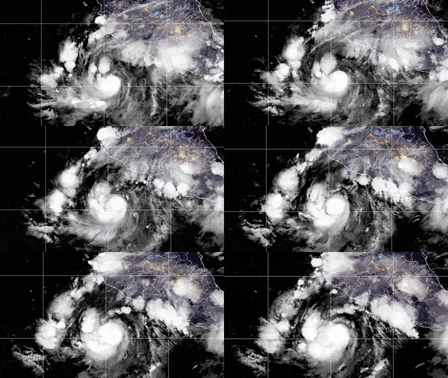
The formation confirms the development anticipated in Vallarta Daily’s Tuesday report on the offshore disturbance. The system became better organized overnight as a concentrated area of thunderstorms expanded near its center.
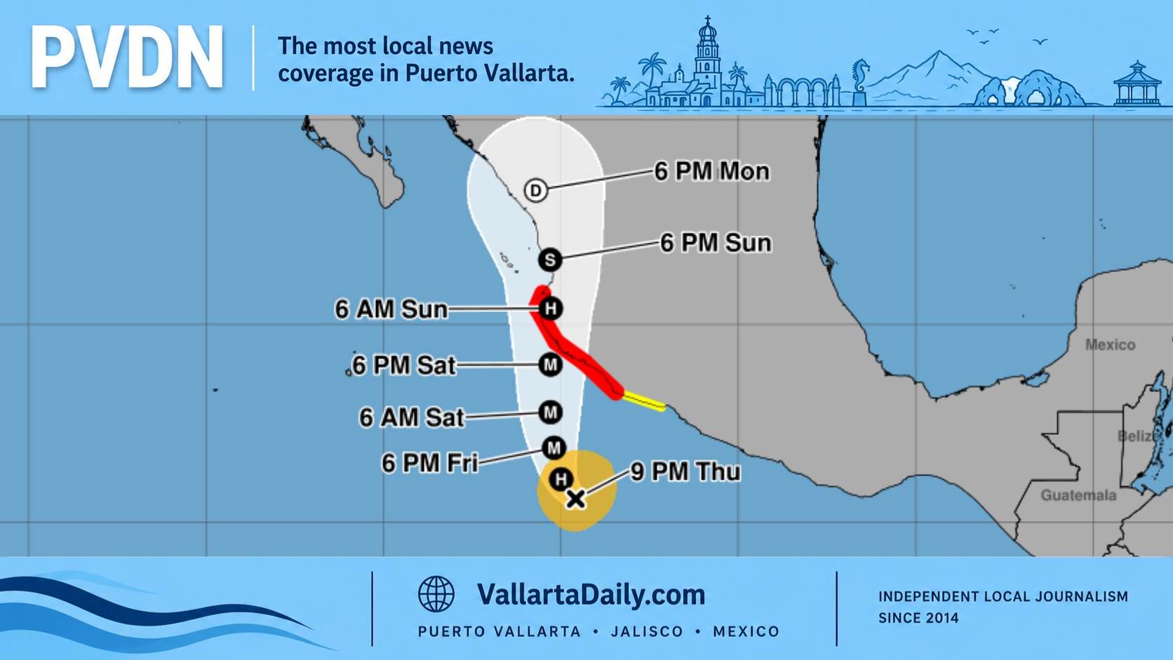
Elida is expected to strengthen steadily through Friday. The hurricane center projects winds near 80 miles per hour, or 130 kilometers per hour, by early Friday, which would make Elida a Category 1 hurricane. The official forecast shows peak winds near 100 miles per hour (160 kilometers per hour) later Friday, before weakening begins over the weekend.
Warm ocean water, moist air and relatively weak wind shear are supporting development along the storm’s projected route. The NHC forecast discussion said a period of rapid intensification cannot be ruled out, although confidence in that possibility remains low.
The storm should continue west through Thursday before slowing and turning northwest Thursday night. Forecast models remain closely grouped through the weekend, giving forecasters greater confidence in the near-term track. The projections begin spreading apart later in the forecast period, when Elida is expected to be far west of Mexico.
That northwest turn does not currently signal movement toward Puerto Vallarta. By the time Elida begins changing direction, the forecast center is expected to be more than 1,000 kilometers west of its Wednesday morning position.
The storm’s wind field was also relatively compact at formation. Tropical-storm-force winds extended up to 95 kilometers from the center, keeping the strongest conditions far offshore. Marine conditions near the cyclone will become increasingly dangerous as it strengthens, but no port restrictions or coastal alerts linked to Elida had been announced around Banderas Bay early Wednesday.
Elida is the fifth name on the eastern Pacific list this year, following Amanda, Boris, Cristina and Douglas. The official 2026 list continues next with Fausto.
Although Elida does not currently present a direct threat to Puerto Vallarta, its formation marks another active period in the 2026 Pacific season. Mexico’s weather authorities projected 18 to 21 named systems in the basin this year, including as many as five major hurricanes. Vallarta Daily’s 2026 hurricane coverage tracks systems that could affect Jalisco and Nayarit, regional airports, ports, and coastal travel.
The next complete National Hurricane Center advisory is scheduled Wednesday morning. Any change toward a more easterly track, a larger wind field, or coastal effects would require closer attention, but the current forecast keeps Elida well offshore throughout the five-day period.